Estimated Value: $492,052 - $518,000
3
Beds
2
Baths
2,308
Sq Ft
$219/Sq Ft
Est. Value
About This Home
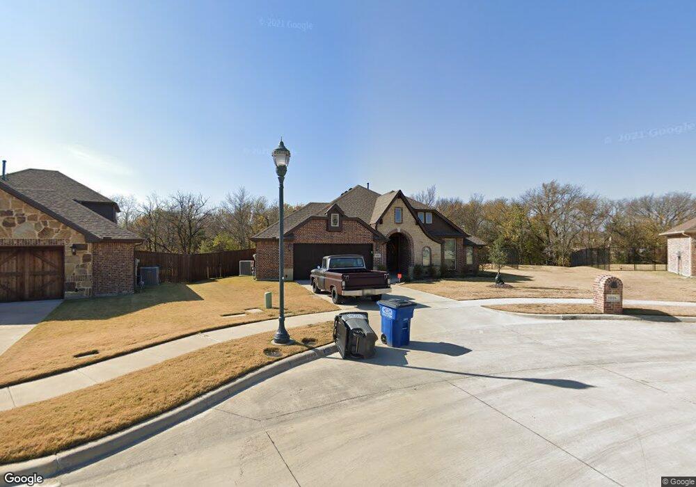
This home is located at 1016 Standbridge Dr, Wylie, TX 75098 and is currently estimated at $505,013, approximately $218 per square foot. 1016 Standbridge Dr is a home located in Collin County with nearby schools including P M Akin Elementary School, AB Harrison Intermediate School, and Grady Burnett J High School.
Ownership History
Date
Name
Owned For
Owner Type
Purchase Details
Closed on
Aug 3, 2015
Sold by
Bloomfield Homes Lp
Bought by
Schuler Alan F and Schuler Deborah A
Current Estimated Value
Home Financials for this Owner
Home Financials are based on the most recent Mortgage that was taken out on this home.
Original Mortgage
$250,000
Outstanding Balance
$196,891
Interest Rate
4.07%
Mortgage Type
New Conventional
Estimated Equity
$308,122
Create a Home Valuation Report for This Property
The Home Valuation Report is an in-depth analysis detailing your home's value as well as a comparison with similar homes in the area
Home Values in the Area
Average Home Value in this Area
Purchase History
| Date | Buyer | Sale Price | Title Company |
|---|---|---|---|
| Schuler Alan F | -- | Fatco |
Source: Public Records
Mortgage History
| Date | Status | Borrower | Loan Amount |
|---|---|---|---|
| Open | Schuler Alan F | $250,000 |
Source: Public Records
Tax History Compared to Growth
Tax History
| Year | Tax Paid | Tax Assessment Tax Assessment Total Assessment is a certain percentage of the fair market value that is determined by local assessors to be the total taxable value of land and additions on the property. | Land | Improvement |
|---|---|---|---|---|
| 2025 | $6,639 | $512,020 | $171,925 | $345,626 |
| 2024 | $6,639 | $465,473 | $171,925 | $348,714 |
| 2023 | $6,639 | $423,157 | $145,475 | $357,253 |
| 2022 | $8,440 | $384,688 | $145,475 | $312,225 |
| 2021 | $8,228 | $349,716 | $105,800 | $243,916 |
| 2020 | $8,095 | $325,993 | $105,800 | $220,193 |
| 2019 | $8,883 | $338,019 | $105,800 | $232,219 |
| 2018 | $8,882 | $329,805 | $105,800 | $224,005 |
| 2017 | $8,699 | $323,017 | $105,800 | $217,217 |
| 2016 | $8,623 | $310,346 | $105,800 | $204,546 |
| 2015 | -- | $63,480 | $63,480 | $0 |
Source: Public Records
Map
Nearby Homes
- 213 N West A Allen Blvd
- 1056 Fairview Dr
- 1209 Surrey Cir
- 107 Windy Knoll Ln
- 304 Hawthorn Dr
- 310 Hawthorn Dr
- 409 Cedar Ridge Dr
- 306 Foxwood Ct
- 312 Maltese Cir
- 216 Cedar Ridge St
- 825 Foxwood Ln
- 1115 Nighthawk Dr
- 820 Foxwood Ln
- 114 Liberty Dr
- 825 Forest Edge Ln
- 104 Rushcreek Dr
- 1201 E Stone Rd
- 207 Spence Dr
- 811 Forest Edge Ln
- 1308 London Dr
- 207 Lyndhurst Dr
- 209 Lyndhurst Dr
- 1005 Standbridge Dr
- 205 Lyndhurst Dr
- 202 Gatwick Ct
- 211 Lyndhurst Dr
- 200 Gatwick Ct
- 206 Lyndhurst Dr
- 208 Lyndhurst Dr
- 204 Gatwick Ct
- 1001 Stanbridge Dr
- 203 Lyndhurst Dr
- 213 Lyndhurst Dr
- 210 Lyndhurst Dr
- 202 Lyndhurst Dr
- 206 Gatwick Ct
- 201 Gatwick Ct
- 212 Lyndhurst Dr
- 200 Lyndhurst Dr
- 215 Lyndhurst Dr