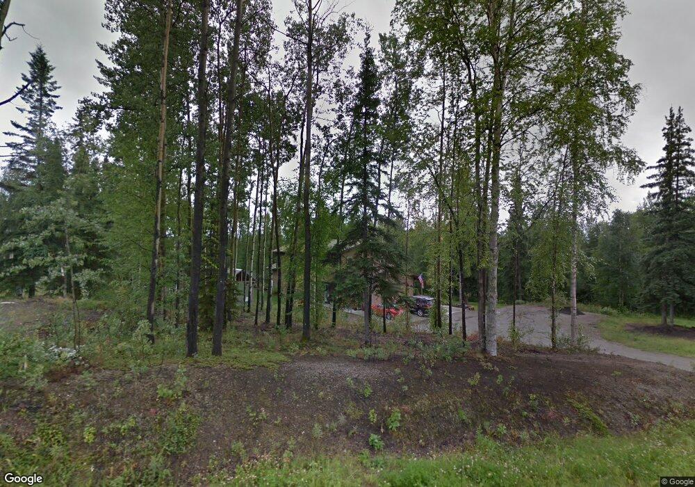
1016 Upper Ct Fairbanks, AK 99712
Farmers Loop NeighborhoodEstimated Value: $261,000 - $658,430
4
Beds
3
Baths
4,309
Sq Ft
$116/Sq Ft
Est. Value
About This Home
This home is located at 1016 Upper Ct, Fairbanks, AK 99712 and is currently estimated at $499,858, approximately $116 per square foot. 1016 Upper Ct is a home located in Fairbanks North Star Borough with nearby schools including Joy Elementary School, Weller Elementary School, and Tanana Middle School.
Ownership History
Date
Name
Owned For
Owner Type
Purchase Details
Closed on
Jul 27, 2006
Sold by
Smith Donald L and Smith Hannah B
Bought by
Angel Steven L and Machacek Mary J
Current Estimated Value
Home Financials for this Owner
Home Financials are based on the most recent Mortgage that was taken out on this home.
Original Mortgage
$418,000
Outstanding Balance
$248,360
Interest Rate
6.57%
Estimated Equity
$251,498
Purchase Details
Closed on
Nov 7, 2003
Sold by
Gillen Valerie I and Nava Valerie Ida
Bought by
Smith Donald L and Smith Hannah B
Home Financials for this Owner
Home Financials are based on the most recent Mortgage that was taken out on this home.
Original Mortgage
$308,275
Interest Rate
5.94%
Purchase Details
Closed on
Dec 21, 2001
Sold by
Gillen Thomas Duane
Bought by
Nava Valerie Ida
Create a Home Valuation Report for This Property
The Home Valuation Report is an in-depth analysis detailing your home's value as well as a comparison with similar homes in the area
Home Values in the Area
Average Home Value in this Area
Purchase History
| Date | Buyer | Sale Price | Title Company |
|---|---|---|---|
| Angel Steven L | -- | Yukon Title Company Inc | |
| Smith Donald L | -- | -- | |
| Nava Valerie Ida | -- | -- |
Source: Public Records
Mortgage History
| Date | Status | Borrower | Loan Amount |
|---|---|---|---|
| Open | Angel Steven L | $418,000 | |
| Previous Owner | Smith Donald L | $308,275 |
Source: Public Records
Tax History Compared to Growth
Tax History
| Year | Tax Paid | Tax Assessment Tax Assessment Total Assessment is a certain percentage of the fair market value that is determined by local assessors to be the total taxable value of land and additions on the property. | Land | Improvement |
|---|---|---|---|---|
| 2025 | $6,077 | $561,172 | $26,629 | $534,543 |
| 2024 | $5,859 | $549,272 | $26,629 | $522,643 |
| 2023 | $8,185 | $548,982 | $26,629 | $522,353 |
| 2022 | $5,447 | $495,560 | $26,629 | $468,931 |
| 2021 | $8,668 | $483,129 | $26,629 | $456,500 |
| 2020 | $8,438 | $466,981 | $26,629 | $440,352 |
| 2019 | $7,999 | $447,007 | $26,629 | $420,378 |
| 2018 | $7,397 | $441,867 | $26,629 | $415,238 |
| 2017 | $7,215 | $431,620 | $26,629 | $404,991 |
| 2016 | $6,768 | $416,682 | $26,629 | $390,053 |
| 2015 | $6,313 | $410,490 | $26,629 | $383,861 |
| 2014 | $6,313 | $410,490 | $26,629 | $383,861 |
Source: Public Records
Map
Nearby Homes
- 300 Hawk Rd
- 493 Valley View Dr
- 265 E Rambling Rd
- 452 Marshall Dr
- 815 Mcgrath Rd
- 578 Farmers Loop Rd
- 504 Eagle Ridge Rd
- NHN Golden Heart Dr
- 750 Mcgrath Rd
- 869 Bouton Ct
- 169 Eagle Ridge Rd
- 665 Lancaster Dr
- L31 Arctic Tern Dr
- 682 Lancaster Dr
- 675 Mcgrath Rd
- 666 Lowell Rd
- 1350 Whistling Swan Dr
- 650 Lowell Rd
- 390 Layla Ct
- NHN Aspen Heights Dr