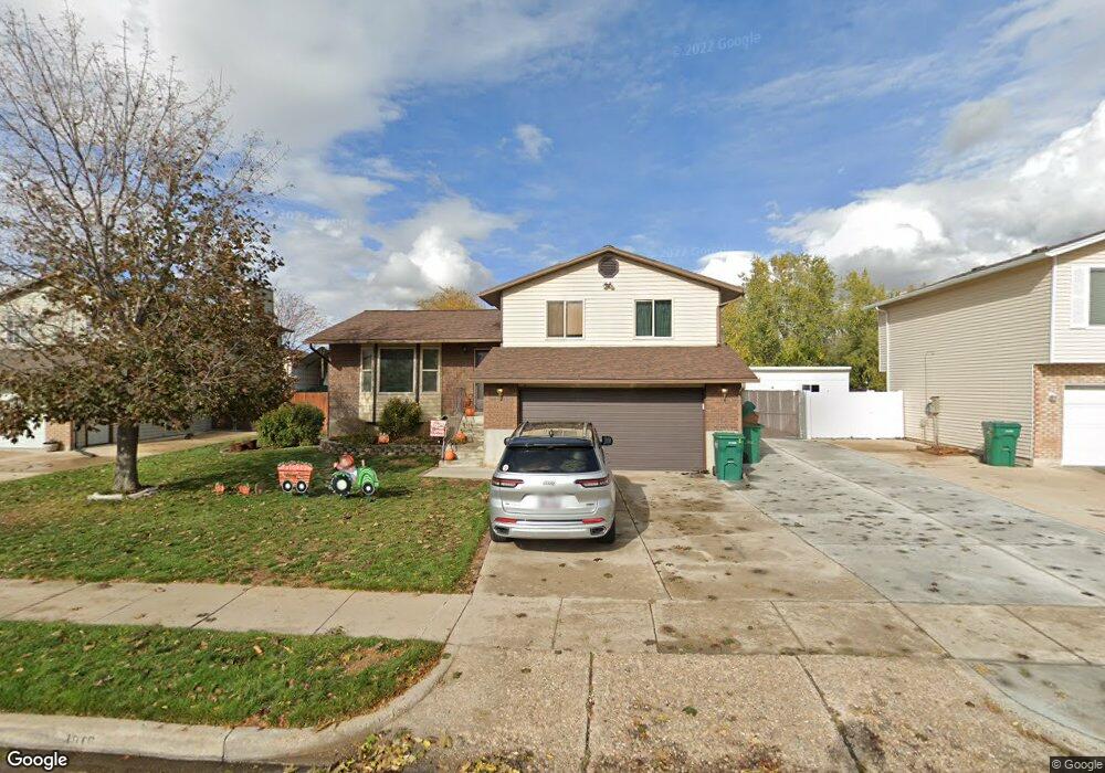
1016 W 550 S Layton, UT 84041
Estimated Value: $481,527 - $520,000
4
Beds
2
Baths
1,981
Sq Ft
$254/Sq Ft
Est. Value
About This Home
This home is located at 1016 W 550 S, Layton, UT 84041 and is currently estimated at $502,632, approximately $253 per square foot. 1016 W 550 S is a home located in Davis County with nearby schools including Heritage Elementary School, Shoreline Junior High School, and Layton High School.
Ownership History
Date
Name
Owned For
Owner Type
Purchase Details
Closed on
Nov 18, 2013
Sold by
Bosley Barry
Bought by
Bosley Jessica J
Current Estimated Value
Purchase Details
Closed on
Oct 13, 2009
Sold by
A + Market
Bought by
Bosley Jessica J and Bosley Barry
Purchase Details
Closed on
Jul 22, 2009
Sold by
Earl Curtis S and Earl Curtis Sullivan
Bought by
A+ Market
Home Financials for this Owner
Home Financials are based on the most recent Mortgage that was taken out on this home.
Original Mortgage
$909
Interest Rate
5.31%
Mortgage Type
Seller Take Back
Purchase Details
Closed on
Jun 13, 2007
Sold by
Brown Earl Barbara Ann
Bought by
Earl Curtis Sullivan
Create a Home Valuation Report for This Property
The Home Valuation Report is an in-depth analysis detailing your home's value as well as a comparison with similar homes in the area
Home Values in the Area
Average Home Value in this Area
Purchase History
| Date | Buyer | Sale Price | Title Company |
|---|---|---|---|
| Bosley Jessica J | -- | None Available | |
| Bosley Jessica J | -- | Utah Commercial Title Co | |
| A+ Market | -- | Utah Commercial Title Co | |
| Earl Curtis Sullivan | $4,000 | Accommodation |
Source: Public Records
Mortgage History
| Date | Status | Borrower | Loan Amount |
|---|---|---|---|
| Previous Owner | A+ Market | $909 |
Source: Public Records
Tax History Compared to Growth
Tax History
| Year | Tax Paid | Tax Assessment Tax Assessment Total Assessment is a certain percentage of the fair market value that is determined by local assessors to be the total taxable value of land and additions on the property. | Land | Improvement |
|---|---|---|---|---|
| 2025 | $2,447 | $256,850 | $108,938 | $147,912 |
| 2024 | $2,283 | $241,450 | $120,912 | $120,538 |
| 2023 | $2,194 | $224,950 | $65,357 | $159,592 |
| 2022 | $2,375 | $437,000 | $136,113 | $300,887 |
| 2021 | $2,087 | $315,000 | $112,323 | $202,677 |
| 2020 | $1,878 | $272,000 | $94,322 | $177,678 |
| 2019 | $1,805 | $256,000 | $97,366 | $158,634 |
| 2018 | $1,636 | $233,000 | $85,331 | $147,669 |
| 2016 | $1,449 | $106,426 | $33,226 | $73,200 |
| 2015 | $1,398 | $97,516 | $33,226 | $64,290 |
| 2014 | $1,418 | $101,086 | $33,226 | $67,860 |
| 2013 | -- | $86,732 | $22,748 | $63,984 |
Source: Public Records
Map
Nearby Homes
- 562 S 850 W
- 557 S Angel St
- 362 S 950 W
- 296 S 950 W
- 774 W Farming Way
- 1042 W Shoreline Dr
- 1038 S Old Towne Rd
- Creighton Farmhouse Plan at Angel Hill
- 933 W Gentile St
- 750 W Gentile St
- 796 S Rock Creek Corner
- 267 S Melody St
- 485 W 100 N
- 355 W Gentile St
- 174 W Dawson St
- 356 W 25 N
- 583 S Alberta Spruce Dr
- 920 S 1700 W Unit 1
- 1606 W 200 N
- Browning Plan at Amber Fields