10160 Apache Trail Nevada City, CA 95959
Estimated Value: $267,000 - $356,000
1
Bed
1
Bath
672
Sq Ft
$477/Sq Ft
Est. Value
About This Home
This home is located at 10160 Apache Trail, Nevada City, CA 95959 and is currently estimated at $320,419, approximately $476 per square foot. 10160 Apache Trail is a home located in Nevada County with nearby schools including Deer Creek Elementary School, Seven Hills Intermediate School, and Forest Charter School.
Ownership History
Date
Name
Owned For
Owner Type
Purchase Details
Closed on
Aug 28, 2018
Sold by
Smith Daniel A
Bought by
Smith Daniel A
Current Estimated Value
Purchase Details
Closed on
Nov 24, 2009
Sold by
Jordan Krestine H
Bought by
Smith Daniel A and Smith Dolores G
Home Financials for this Owner
Home Financials are based on the most recent Mortgage that was taken out on this home.
Original Mortgage
$120,000
Outstanding Balance
$78,632
Interest Rate
4.99%
Mortgage Type
New Conventional
Estimated Equity
$241,787
Create a Home Valuation Report for This Property
The Home Valuation Report is an in-depth analysis detailing your home's value as well as a comparison with similar homes in the area
Purchase History
| Date | Buyer | Sale Price | Title Company |
|---|---|---|---|
| Smith Daniel A | -- | None Available | |
| Smith Saniel A | -- | None Available | |
| Smith Daniel A | $150,000 | Placer Title Company |
Source: Public Records
Mortgage History
| Date | Status | Borrower | Loan Amount |
|---|---|---|---|
| Open | Smith Daniel A | $120,000 |
Source: Public Records
Tax History
| Year | Tax Paid | Tax Assessment Tax Assessment Total Assessment is a certain percentage of the fair market value that is determined by local assessors to be the total taxable value of land and additions on the property. | Land | Improvement |
|---|---|---|---|---|
| 2025 | $2,171 | $193,606 | $129,073 | $64,533 |
| 2024 | $2,124 | $189,811 | $126,543 | $63,268 |
| 2023 | $2,124 | $186,090 | $124,062 | $62,028 |
| 2022 | $2,078 | $182,442 | $121,630 | $60,812 |
| 2021 | $2,013 | $178,866 | $119,246 | $59,620 |
| 2020 | $2,005 | $177,033 | $118,024 | $59,009 |
| 2019 | $1,962 | $173,562 | $115,710 | $57,852 |
| 2018 | $1,922 | $170,160 | $113,442 | $56,718 |
| 2017 | $1,883 | $166,824 | $111,218 | $55,606 |
| 2016 | $1,815 | $163,554 | $109,038 | $54,516 |
| 2015 | $1,787 | $161,099 | $107,401 | $53,698 |
| 2014 | $1,757 | $157,945 | $105,298 | $52,647 |
Source: Public Records
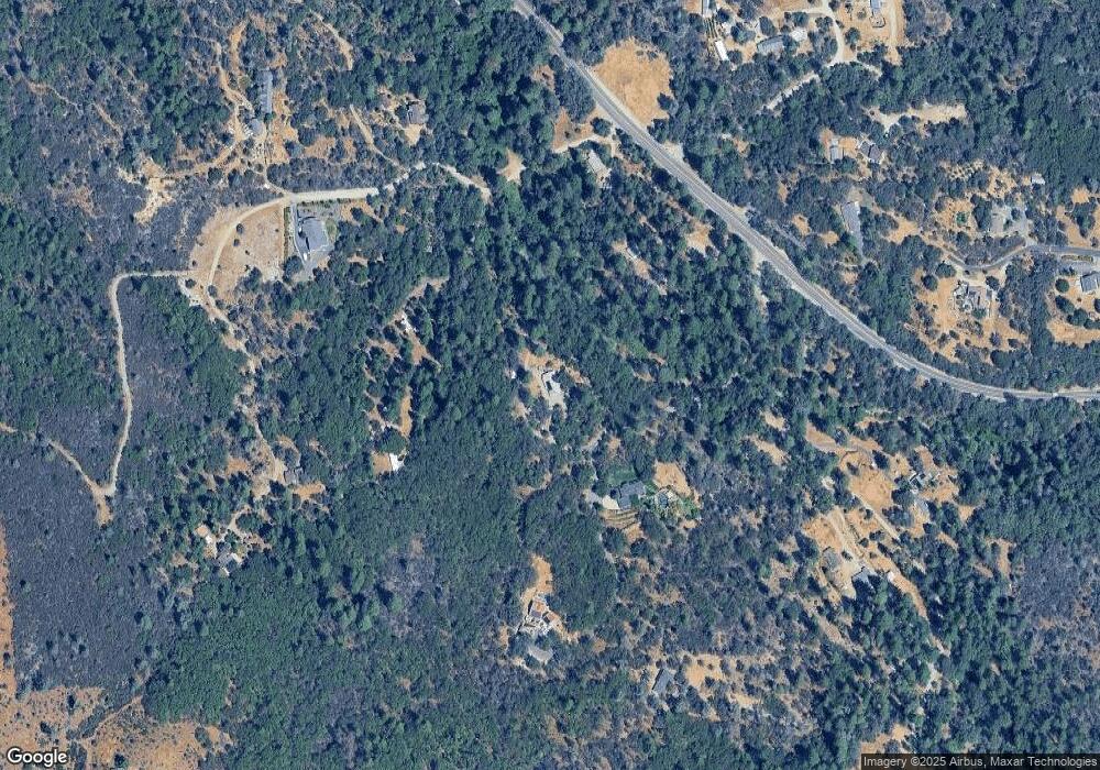
Map
Nearby Homes
- 10893 Newtown Rd
- 10402 Newtown Rd
- 12141 Newtown Rd
- 12137 Newtown Rd
- 10265 Newtown Rd
- 13118 Cement Hill Rd
- 13050 Discovery Way
- 14370 Bodie Ridge Rd
- 16934 Indian Flat Rd
- 10526 Indian Shack Rd
- 12776 Little Deer Creek Ln
- 10523 Tasha Rd
- 17833 Country Cir
- 12921 Slate Creek Rd
- 12777 Daisy Blue Mine Rd
- 13433 Newtown Rd
- 11966 Logans Run Ct
- 11189 Crystal View Heights
- 16069 Shannon Way
- 124 Ruby Ledge Ct
- 10101 Apache Trail
- 10050 Apache Trail
- 18286 Golden Chain Hwy
- 10061 Rush Creek Way
- 18288 Highway 49
- 18288 State Highway 49
- 10183 Apache Trail
- 10227 Rush Creek Way
- 10129 Rush Creek Way
- 18342 State Highway 49
- 18342 State Highway 49
- 10266 Lowden Ln
- 10114 Lowden Ln
- 18167 State Highway 49
- 10101 Delphine Ln
- 18044 Columbine Ct
- 17699 Shoshoni Trail Ct
- 10334 Lowden Ln
- 17698 Shoshoni Trail Ct
- 18130 Columbine Ct
Your Personal Tour Guide
Ask me questions while you tour the home.