10160 Repoll Blvd Mobile, AL 36695
Millers Creek NeighborhoodEstimated Value: $277,739 - $305,000
3
Beds
3
Baths
2,013
Sq Ft
$144/Sq Ft
Est. Value
About This Home
This home is located at 10160 Repoll Blvd, Mobile, AL 36695 and is currently estimated at $290,435, approximately $144 per square foot. 10160 Repoll Blvd is a home located in Mobile County with nearby schools including Taylor White Elementary School, Bernice J Causey Middle School, and Baker High School.
Ownership History
Date
Name
Owned For
Owner Type
Purchase Details
Closed on
Feb 23, 2004
Sold by
Mclaughlin Max V and Mclaughlin Nikki
Bought by
Thompson John M and Thompson Nancy W
Current Estimated Value
Purchase Details
Closed on
Dec 21, 2000
Sold by
Mclaughlin Max V and Mclaughlin Nikki
Bought by
Thompson John M and Thompson Nancy W
Home Financials for this Owner
Home Financials are based on the most recent Mortgage that was taken out on this home.
Original Mortgage
$24,000
Interest Rate
7.72%
Mortgage Type
Purchase Money Mortgage
Create a Home Valuation Report for This Property
The Home Valuation Report is an in-depth analysis detailing your home's value as well as a comparison with similar homes in the area
Home Values in the Area
Average Home Value in this Area
Purchase History
We collect this data history from publicly available records. To have your information removed, we recommend requesting removal directly through your county’s website.
| Date | Buyer | Sale Price | Title Company |
|---|---|---|---|
| Thompson John M | -- | -- | |
| Thompson John M | -- | -- |
Source: Public Records
Mortgage History
We collect this data history from publicly available records. To have your information removed, we recommend requesting removal directly through your county’s website.
| Date | Status | Borrower | Loan Amount |
|---|---|---|---|
| Previous Owner | Thompson John M | $24,000 |
Source: Public Records
Tax History
| Year | Tax Paid | Tax Assessment Tax Assessment Total Assessment is a certain percentage of the fair market value that is determined by local assessors to be the total taxable value of land and additions on the property. | Land | Improvement |
|---|---|---|---|---|
| 2025 | $1,006 | $23,230 | $5,250 | $17,980 |
| 2024 | $1,006 | $22,070 | $5,250 | $16,820 |
| 2023 | $717 | $24,360 | $6,460 | $17,900 |
| 2022 | $1,109 | $24,220 | $6,390 | $17,830 |
| 2021 | $1,027 | $22,550 | $3,960 | $18,590 |
| 2020 | $0 | $22,930 | $3,960 | $18,970 |
| 2019 | $1,013 | $20,340 | $3,960 | $16,380 |
| 2018 | $0 | $20,520 | $0 | $0 |
| 2017 | $1,013 | $20,820 | $0 | $0 |
| 2016 | $949 | $20,940 | $0 | $0 |
| 2013 | $1,035 | $21,860 | $0 | $0 |
Source: Public Records
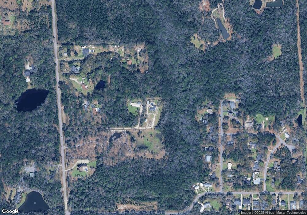
Map
Nearby Homes
- 10069 Highfield Way
- 2134 Aldabra Ct
- 2220 Milner Way
- 2251 Sable Ridge Dr W
- 10061 Sasser Ln
- 9975 Turtle Creek Ln S
- 2291 Sable Ridge Dr W
- 0 Sands Dr Unit 7675577
- 2230 Nadine Ln
- 2240 Nadine Ln
- 9872 Hamilton Ridge Dr N
- 9870 Summit View Cir N
- 9881 Summit View Cir N
- 9910 Summit View Cir S
- 9852 Summit View Cir N
- 9852 Summit View Cir
- 9880 Summit View Cir N
- 2267 Summit View Ct
- 9785 Summit View Cir N
- 9708 Triton Ct
- 1971 Repoll Rd
- 1871 Repoll Rd
- 1960 Foxgate Rd
- 1950 Foxgate Rd
- 1940 Foxgate Rd
- 1974 Foxgate Rd
- 1951 Repoll Rd
- 1980 Foxgate Rd
- 2000 Foxgate Rd
- 1911 Repoll Rd
- 10041J Foxgate Rd Unit A1
- 2010 Foxgate Rd
- 1941 Foxgate Rd
- 1961 Foxgate Rd
- 2001 Foxgate Rd
- 2020 Foxgate Rd
- 1881 Repoll Rd
- 2030 Foxgate Rd
- 9970 Alderway St
- 1861 Repoll Rd
Your Personal Tour Guide
Ask me questions while you tour the home.