10161 Serenity Shores Dr NE Unit 5 Rockford, MI 49341
Estimated Value: $683,000 - $985,000
4
Beds
3
Baths
2,045
Sq Ft
$421/Sq Ft
Est. Value
About This Home
This home is located at 10161 Serenity Shores Dr NE Unit 5, Rockford, MI 49341 and is currently estimated at $860,454, approximately $420 per square foot. 10161 Serenity Shores Dr NE Unit 5 is a home located in Kent County with nearby schools including Valley View Elementary School, North Rockford Middle School, and Rockford High School Freshman Center.
Ownership History
Date
Name
Owned For
Owner Type
Purchase Details
Closed on
Apr 25, 2013
Sold by
Peterson Steven M and Peterson Sandra J
Bought by
Peterson Steven M and Peterson Sandra J
Current Estimated Value
Home Financials for this Owner
Home Financials are based on the most recent Mortgage that was taken out on this home.
Original Mortgage
$352,469
Outstanding Balance
$76,961
Interest Rate
3.52%
Mortgage Type
New Conventional
Estimated Equity
$783,493
Purchase Details
Closed on
Dec 28, 2009
Sold by
Peterson Steven M and Peterson Sandra J
Bought by
Peterson Steven M and Peterson Sandra J
Purchase Details
Closed on
Dec 23, 2002
Sold by
Benchmark Properties Llc
Bought by
Peterson Steven M and Peterson Sandy J
Home Financials for this Owner
Home Financials are based on the most recent Mortgage that was taken out on this home.
Original Mortgage
$78,196
Interest Rate
6.06%
Mortgage Type
Purchase Money Mortgage
Create a Home Valuation Report for This Property
The Home Valuation Report is an in-depth analysis detailing your home's value as well as a comparison with similar homes in the area
Home Values in the Area
Average Home Value in this Area
Purchase History
| Date | Buyer | Sale Price | Title Company |
|---|---|---|---|
| Peterson Steven M | -- | None Available | |
| Peterson Steven M | -- | None Available | |
| Peterson Steven M | $91,996 | -- |
Source: Public Records
Mortgage History
| Date | Status | Borrower | Loan Amount |
|---|---|---|---|
| Open | Peterson Steven M | $352,469 | |
| Previous Owner | Peterson Steven M | $78,196 |
Source: Public Records
Tax History Compared to Growth
Tax History
| Year | Tax Paid | Tax Assessment Tax Assessment Total Assessment is a certain percentage of the fair market value that is determined by local assessors to be the total taxable value of land and additions on the property. | Land | Improvement |
|---|---|---|---|---|
| 2025 | $5,988 | $416,000 | $0 | $0 |
| 2024 | $5,988 | $355,300 | $0 | $0 |
| 2023 | $8,025 | $321,900 | $0 | $0 |
| 2022 | $7,752 | $307,300 | $0 | $0 |
| 2021 | $7,557 | $302,800 | $0 | $0 |
| 2020 | $5,276 | $284,600 | $0 | $0 |
| 2019 | $7,392 | $271,600 | $0 | $0 |
| 2018 | $7,477 | $267,000 | $0 | $0 |
| 2017 | $7,281 | $232,600 | $0 | $0 |
| 2016 | $7,030 | $236,200 | $0 | $0 |
| 2015 | -- | $236,200 | $0 | $0 |
| 2013 | -- | $217,900 | $0 | $0 |
Source: Public Records
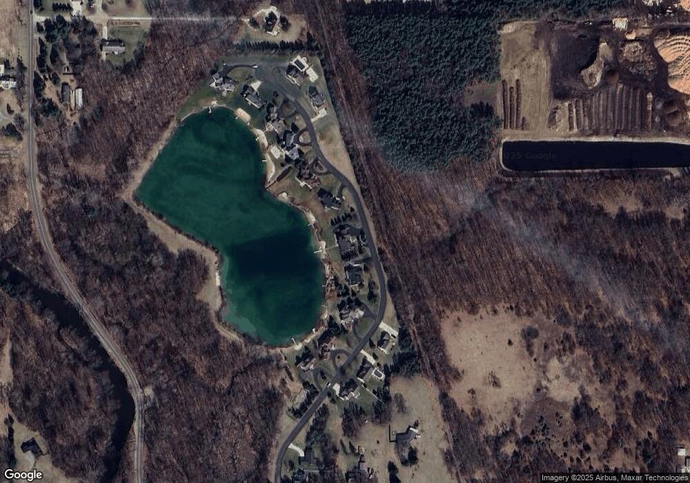
Map
Nearby Homes
- 10050 Sussex Ct NE
- 10429 Summit Ave NE
- 211 Rockford Park Dr NE Unit 7
- 211 Rockford Park Dr NE Unit 6
- 211 Rockford Park Dr NE Unit 5
- 211 Rockford Park Dr NE Unit 4
- 211 Rockford Park Dr NE Unit 3
- 211 Rockford Park Dr NE Unit 2
- 211 Rockford Park Dr NE Unit 1
- 10425 Northland Dr NE
- 4139 Whirlwind Dr NE Unit 60
- 10525 Edgerton Ave NE
- 3883 11 Mile Rd NE
- 10550 Wolven Ave NE
- 5080 Brookestone Dr NE
- 65 Greystone Ct NE
- 5400 13 Mile Rd NE
- 190 E Main St
- The Jamestown Plan at Pine Rivers
- The Hearthside Plan at Pine Rivers
- 10185 Serenity Shores Dr NE Unit 6
- 10133 Serenity Shores Dr NE
- 10207 Serenity Shores Dr NE Unit 7
- 10109 Serenity Shores Dr NE Unit 3
- 10223 Serenity Shores Dr NE
- 10077 Serenity Shores Dr NE Unit 2
- 10077 Serenity Shores Drive Dr NE
- 10092 Serenity Shores Dr NE Unit 14
- 10065 Serenity Shores Dr NE
- 10241 Serenity Shores Dr NE Unit 9
- 10240 Serenity Shores Dr NE Unit 13
- 10078 Serenity Shores Dr NE Unit 15
- 10066 Serenity Shores Dr NE Unit 16
- 10259 Serenity Shores Dr NE Unit 10
- 10256 Serenity Shores Dr NE Unit 12
- 10267 Serenity Shores Dr NE Unit 11
- 10030 Serenity Shores Dr NE
- 4300 River Run Trail NE
- 4411 12 Mile Rd NE
- 4409 12 Mile Rd NE