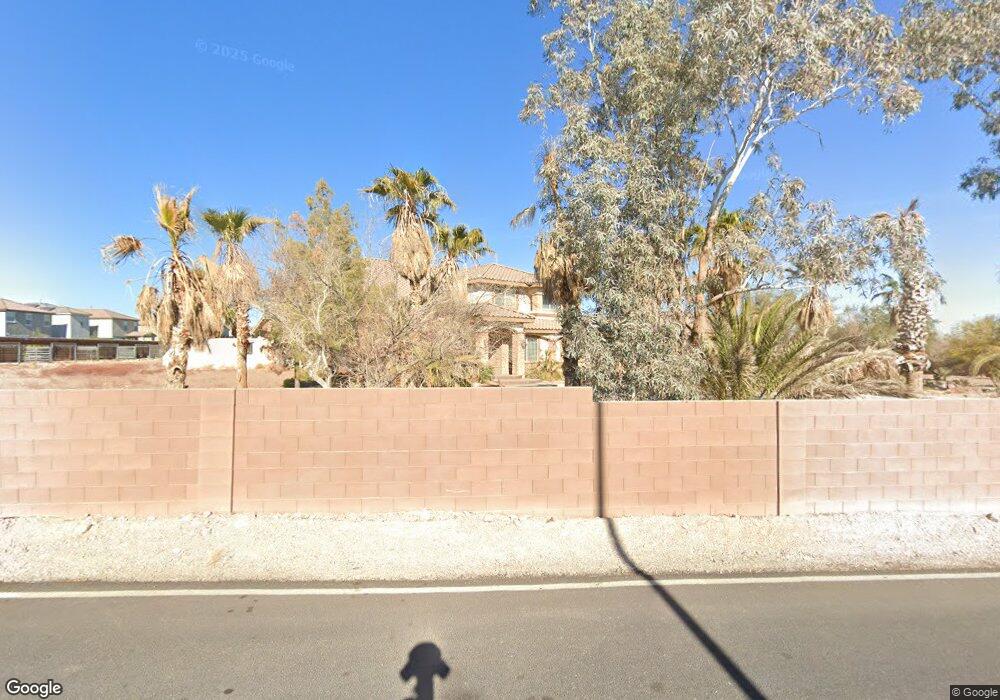
10165 Schuster St Las Vegas, NV 89141
Highlands Ranch NeighborhoodEstimated Value: $1,594,000 - $2,665,996
4
Beds
5
Baths
5,482
Sq Ft
$350/Sq Ft
Est. Value
About This Home
This home is located at 10165 Schuster St, Las Vegas, NV 89141 and is currently estimated at $1,919,749, approximately $350 per square foot. 10165 Schuster St is a home located in Clark County with nearby schools including Dennis Ortwein Elementary, Lois & Jerry Tarkanian Middle School, and Desert Oasis High School.
Ownership History
Date
Name
Owned For
Owner Type
Purchase Details
Closed on
Jul 17, 2014
Sold by
Armentrout Roy Don and Armentrout Connie Kay
Bought by
Frias Phyllis M and Phyllis M Frias Management Trust
Current Estimated Value
Purchase Details
Closed on
Dec 27, 2011
Sold by
Armentrout Roy D and Armentrout Connie
Bought by
Armentrout Roy Don and Armentrout Connie Kay
Purchase Details
Closed on
Oct 28, 2003
Sold by
Eri Corp
Bought by
Amentrout Roy D and Amentrout Connie
Create a Home Valuation Report for This Property
The Home Valuation Report is an in-depth analysis detailing your home's value as well as a comparison with similar homes in the area
Home Values in the Area
Average Home Value in this Area
Purchase History
| Date | Buyer | Sale Price | Title Company |
|---|---|---|---|
| Frias Phyllis M | $2,000,000 | Ticor Title Las Vegas | |
| Armentrout Roy Don | -- | None Available | |
| Amentrout Roy D | $275,000 | First American Title Co Of |
Source: Public Records
Tax History Compared to Growth
Tax History
| Year | Tax Paid | Tax Assessment Tax Assessment Total Assessment is a certain percentage of the fair market value that is determined by local assessors to be the total taxable value of land and additions on the property. | Land | Improvement |
|---|---|---|---|---|
| 2025 | $11,260 | $589,502 | $210,000 | $379,502 |
| 2024 | $10,426 | $589,502 | $210,000 | $379,502 |
| 2023 | $10,426 | $529,862 | $175,000 | $354,862 |
| 2022 | $9,654 | $478,491 | $154,000 | $324,491 |
| 2021 | $8,939 | $448,301 | $140,000 | $308,301 |
| 2020 | $8,298 | $445,266 | $140,000 | $305,266 |
| 2019 | $7,776 | $423,305 | $122,500 | $300,805 |
| 2018 | $7,420 | $394,086 | $105,000 | $289,086 |
| 2017 | $11,035 | $376,271 | $84,000 | $292,271 |
| 2016 | $6,943 | $376,189 | $78,750 | $297,439 |
| 2015 | $6,934 | $351,497 | $56,000 | $295,497 |
| 2014 | $6,718 | $222,198 | $28,000 | $194,198 |
Source: Public Records
Map
Nearby Homes
- 10126 Crimson Crown St
- Summit Plan at Marigold
- Everett Plan at Marigold
- Willow Plan at Marigold
- 4121 Nopal Serrano Ave
- 4143 Juniper Pear Ave
- 3955 W Jo Rae Ave
- 10292 Fragrant Apple Ct
- 000 Jo Rae
- 10226 Rosemont Hills St
- 4244 Scarlet Cob Ave
- 10227 Dawnville Walk St
- 10276 Rosemont Hills St
- 9990 Perth Ct
- 10267 St
- 10345 Zebra Swallowtail St
- 4181 Nopal Serrano Ave
- 9918 Landings St
- Plan 2469 at Lynora
- Plan 2175 at Lynora
- 10168 Crimson Crown St
- 10180 Crimson Crown St
- 10190 Crimson Crown St
- 3973 W Haleh Ave
- 10194 Crimson Crown St
- 10225 Schuster St
- 10144 Crimson Crown St
- 10211 Tiger Milkweed St
- 10138 Crimson Crown St
- 10149 Crimson Crown St
- 10167 Crimson Crown St
- 10109 Crimson Crown St
- 10108 Crimson Crown St
- 10103 Crimson Crown St
- 10155 Crimson Crown St
- 10150 Crimson Crown St
- 10115 Crimson Crown St
- 10102 Crimson Crown St
- 10162 Crimson Crown St
- 10161 Crimson Crown St