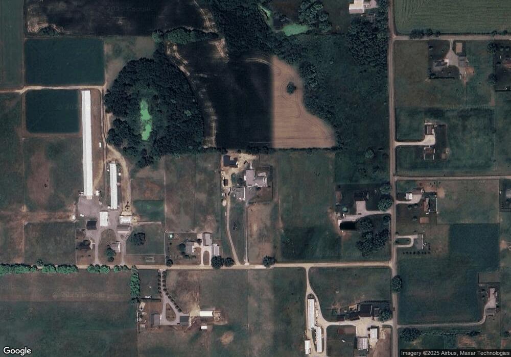
10165 W 325 N Shipshewana, IN 46565
Estimated Value: $436,000 - $735,000
5
Beds
2
Baths
3,224
Sq Ft
$196/Sq Ft
Est. Value
About This Home
This home is located at 10165 W 325 N, Shipshewana, IN 46565 and is currently estimated at $630,900, approximately $195 per square foot. 10165 W 325 N is a home located in LaGrange County with nearby schools including Meadowview Elementary School, Westview Elementary School, and Westview Junior/Senior High School.
Ownership History
Date
Name
Owned For
Owner Type
Purchase Details
Closed on
Dec 8, 2023
Sold by
Notestine Debra S
Bought by
Revocable Trust and Notestine
Current Estimated Value
Purchase Details
Closed on
Jan 7, 2022
Sold by
Lehman Glen M and Lehman Wanda E
Bought by
Wingard Freeman J and Wingard Carol J
Home Financials for this Owner
Home Financials are based on the most recent Mortgage that was taken out on this home.
Original Mortgage
$391,500
Interest Rate
2.75%
Mortgage Type
New Conventional
Create a Home Valuation Report for This Property
The Home Valuation Report is an in-depth analysis detailing your home's value as well as a comparison with similar homes in the area
Home Values in the Area
Average Home Value in this Area
Purchase History
| Date | Buyer | Sale Price | Title Company |
|---|---|---|---|
| Revocable Trust | -- | None Listed On Document | |
| Wingard Freeman J | $855,000 | Eberhard Bill D |
Source: Public Records
Mortgage History
| Date | Status | Borrower | Loan Amount |
|---|---|---|---|
| Previous Owner | Wingard Freeman J | $391,500 |
Source: Public Records
Tax History Compared to Growth
Tax History
| Year | Tax Paid | Tax Assessment Tax Assessment Total Assessment is a certain percentage of the fair market value that is determined by local assessors to be the total taxable value of land and additions on the property. | Land | Improvement |
|---|---|---|---|---|
| 2024 | $3,185 | $537,200 | $50,800 | $486,400 |
| 2023 | $2,797 | $498,900 | $48,800 | $450,100 |
| 2022 | $2,678 | $447,700 | $42,300 | $405,400 |
| 2021 | $2,601 | $402,900 | $52,900 | $350,000 |
| 2020 | $2,614 | $403,200 | $51,000 | $352,200 |
| 2019 | $2,063 | $319,400 | $51,900 | $267,500 |
| 2018 | $2,039 | $306,500 | $51,600 | $254,900 |
| 2017 | $2,250 | $319,800 | $86,400 | $233,400 |
| 2016 | $2,001 | $310,200 | $52,000 | $258,200 |
| 2014 | $1,700 | $266,200 | $44,100 | $222,100 |
| 2013 | $1,700 | $268,500 | $44,100 | $224,400 |
Source: Public Records
Map
Nearby Homes
- 3360 N 980 W
- 3295 N 980 W
- 9155 W 360 N
- 365 Country Ln
- 3820 N 760 W
- 5980 N 1080 W
- 1223 Park Way
- 53982 Midnight Star
- 11306 Fishers Pond
- 52690 Rachael Ct
- 53048 State Road 13
- 7185 N 1150 W
- 0 Brittany Ct Unit 202535246
- 0 Brittany Ct Unit 202535245
- 10039 County Road 4 Unit 25
- 306 Dawn Estates Dr
- 10281 County Road 4
- 10235 W 750 N
- 11679 State Road 120
- 10858 County Road 4