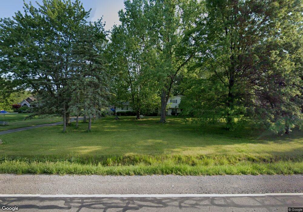
10166 Stanley Rd Flushing, MI 48433
Estimated Value: $224,000 - $275,859
--
Bed
1
Bath
1,728
Sq Ft
$142/Sq Ft
Est. Value
About This Home
This home is located at 10166 Stanley Rd, Flushing, MI 48433 and is currently estimated at $244,715, approximately $141 per square foot. 10166 Stanley Rd is a home located in Genesee County with nearby schools including Elms Elementary School, Flushing Middle School, and Flushing High School.
Ownership History
Date
Name
Owned For
Owner Type
Purchase Details
Closed on
Jul 21, 2022
Sold by
Billy And Patrick Llc
Bought by
Lemanski David and Lemanski Heather
Current Estimated Value
Home Financials for this Owner
Home Financials are based on the most recent Mortgage that was taken out on this home.
Original Mortgage
$193,062
Outstanding Balance
$184,726
Interest Rate
5.78%
Mortgage Type
Seller Take Back
Estimated Equity
$59,989
Purchase Details
Closed on
Feb 25, 2021
Sold by
Pasco Michael A and Ham Lucy
Bought by
Lucius Billy J
Purchase Details
Closed on
Jul 2, 2007
Sold by
Pasco Marie T
Bought by
Pasco Michael A
Create a Home Valuation Report for This Property
The Home Valuation Report is an in-depth analysis detailing your home's value as well as a comparison with similar homes in the area
Home Values in the Area
Average Home Value in this Area
Purchase History
| Date | Buyer | Sale Price | Title Company |
|---|---|---|---|
| Lemanski David | $189,000 | Bell Title | |
| Billy And Patrick Llc | -- | None Listed On Document | |
| Lucius Billy J | $177,000 | Mason Burgess Title Agency | |
| Pasco Michael A | -- | None Available |
Source: Public Records
Mortgage History
| Date | Status | Borrower | Loan Amount |
|---|---|---|---|
| Open | Lemanski David | $193,062 |
Source: Public Records
Tax History Compared to Growth
Tax History
| Year | Tax Paid | Tax Assessment Tax Assessment Total Assessment is a certain percentage of the fair market value that is determined by local assessors to be the total taxable value of land and additions on the property. | Land | Improvement |
|---|---|---|---|---|
| 2025 | $4,909 | $108,600 | $0 | $0 |
| 2024 | $2,720 | $104,600 | $0 | $0 |
| 2023 | $2,279 | $96,500 | $0 | $0 |
| 2022 | $4,982 | $85,900 | $0 | $0 |
| 2021 | $2,204 | $81,200 | $0 | $0 |
| 2020 | $1,132 | $76,700 | $0 | $0 |
| 2019 | $1,120 | $69,600 | $0 | $0 |
| 2018 | $1,980 | $62,400 | $0 | $0 |
| 2017 | $991 | $62,400 | $0 | $0 |
| 2016 | $1,814 | $59,400 | $0 | $0 |
| 2015 | $1,669 | $57,600 | $0 | $0 |
| 2014 | $975 | $54,800 | $0 | $0 |
| 2012 | -- | $52,000 | $52,000 | $0 |
Source: Public Records
Map
Nearby Homes
- 7200 N Seymour Rd
- 11186 W Stanley Rd
- 10008 Coldwater Rd
- 104 Sheppard Ave Unit 104
- 9207 N Island Ct Unit 12
- 29 Armstrong Ave
- 142 Apollo Ave Unit 142
- 255 Grissom Ct
- 257 Grissom Ct
- 196 Apollo Ave
- 0 N Island Dr Unit 20230029447
- 6355 N Mckinley Rd
- 8073 Nichols Rd
- 180 Apollo Cir Unit 180
- 9031 N Island Dr Unit 29
- 9175 Saddle Horn Dr
- 5315 Chickasaw Trail
- 5284 Chickasaw Trail
- 8474 Wesley Dr
- 10101 Carpenter Rd
- 10166 W Stanley Rd
- 10156 Stanley Rd
- 10184 Stanley Rd
- 10156 W Stanley Rd
- 10146 Stanley Rd
- 10200 Stanley Rd
- 10200 W Stanley Rd
- 10136 Stanley Rd
- 10175 Stanley Rd
- 10157 Stanley Rd
- 10157 W Stanley Rd
- 10212 Stanley Rd
- 10147 Stanley Rd
- 10195 Stanley Rd
- 10139 W Stanley Rd
- 10139 Stanley Rd
- 10222 Stanley Rd
- 10209 Stanley Rd
- 10232 Stanley Rd
- 10188 Stanley Rd Unit Bldg-Unit