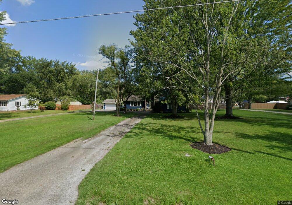
10167 Mitchell Rd Columbia Station, OH 44028
Estimated Value: $409,287 - $484,000
4
Beds
3
Baths
2,768
Sq Ft
$160/Sq Ft
Est. Value
About This Home
This home is located at 10167 Mitchell Rd, Columbia Station, OH 44028 and is currently estimated at $442,072, approximately $159 per square foot. 10167 Mitchell Rd is a home located in Lorain County with nearby schools including Olmsted Falls Intermediate Building, Falls-Lenox Primary Elementary School, and Olmsted Falls Middle School.
Ownership History
Date
Name
Owned For
Owner Type
Purchase Details
Closed on
Apr 20, 2020
Sold by
Kinsley Jeffrey L and Kinsley Sandra D
Bought by
Kinsley Jeffrey L and Kinsley Sandra D
Current Estimated Value
Purchase Details
Closed on
Jun 5, 1998
Sold by
Edmonds Donnie R and Edmonds Marlene
Bought by
Kinsley Jeffrey L and Kinsley Sandra D
Home Financials for this Owner
Home Financials are based on the most recent Mortgage that was taken out on this home.
Original Mortgage
$170,000
Interest Rate
7.25%
Create a Home Valuation Report for This Property
The Home Valuation Report is an in-depth analysis detailing your home's value as well as a comparison with similar homes in the area
Home Values in the Area
Average Home Value in this Area
Purchase History
| Date | Buyer | Sale Price | Title Company |
|---|---|---|---|
| Kinsley Jeffrey L | -- | Guardian Title | |
| Kinsley Jeffrey L | $181,000 | Midland Title |
Source: Public Records
Mortgage History
| Date | Status | Borrower | Loan Amount |
|---|---|---|---|
| Closed | Kinsley Jeffrey L | $170,000 |
Source: Public Records
Tax History Compared to Growth
Tax History
| Year | Tax Paid | Tax Assessment Tax Assessment Total Assessment is a certain percentage of the fair market value that is determined by local assessors to be the total taxable value of land and additions on the property. | Land | Improvement |
|---|---|---|---|---|
| 2024 | $5,147 | $91,791 | $32,396 | $59,395 |
| 2023 | $6,279 | $93,251 | $33,614 | $59,637 |
| 2022 | $6,094 | $93,251 | $33,614 | $59,637 |
| 2021 | $6,095 | $93,251 | $33,614 | $59,637 |
| 2020 | $6,266 | $85,320 | $30,760 | $54,560 |
| 2019 | $5,591 | $85,320 | $30,760 | $54,560 |
| 2018 | $5,601 | $85,320 | $30,760 | $54,560 |
| 2017 | $5,578 | $78,710 | $25,130 | $53,580 |
| 2016 | $5,622 | $78,710 | $25,130 | $53,580 |
| 2015 | $5,658 | $78,710 | $25,130 | $53,580 |
| 2014 | $5,344 | $74,670 | $23,840 | $50,830 |
| 2013 | $5,347 | $74,670 | $23,840 | $50,830 |
Source: Public Records
Map
Nearby Homes
- 9783 Burts Way
- 26571 Sprague Rd
- 9966 Ethan Dr
- 9954 Ethan Dr
- 8972 Sharp Rd
- 8860 Sharp Rd
- 33700 Henwell Rd
- 27224 Emerald Oval N
- 8581 Dunham Dr
- 8767 Stearns Rd
- 8706 Stearns Rd
- 29090 Pembrooke Blvd
- 9425 Ravinia Dr
- 29097 Pembrooke Blvd
- 9064 Hummingbird Ln
- 9129 Riverwood Dr
- 8481 Jennings Rd
- 8665 Westfield Park Dr
- 9113 Riverwood Dr
- 9032 Riverwood Dr
- 10229 Mitchell Rd
- 10123 Mitchell Rd
- 10214 Mitchell Rd
- 10279 Mitchell Rd
- 10228 Mitchell Rd
- 10063 Mitchell Rd
- 10180 Mitchell Rd
- 10321 Mitchell Rd
- 10312 Mitchell Rd
- 10011 Mitchell Rd
- 10150 Mitchell Rd
- 10030 Mitchell Rd
- 10372 Mitchell Rd
- 10401 Mitchell Rd
- 9939 Mitchell Rd
- 9913 Mitchell Rd
- 10260 Mitchell Rd
- 9879 Mitchell Rd
- 27139 Sprague Rd
- 27211 Sprague Rd