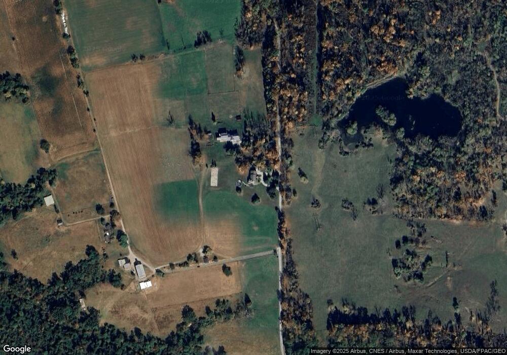
10169 Munson Rd Shreve, OH 44676
Estimated Value: $465,000 - $540,000
4
Beds
4
Baths
3,306
Sq Ft
$151/Sq Ft
Est. Value
About This Home
This home is located at 10169 Munson Rd, Shreve, OH 44676 and is currently estimated at $500,203, approximately $151 per square foot. 10169 Munson Rd is a home located in Wayne County with nearby schools including Triway High School, Moreland School, and MEADOW SPRINGS.
Ownership History
Date
Name
Owned For
Owner Type
Purchase Details
Closed on
Aug 13, 2015
Sold by
Anderson Jane W
Bought by
Anderson Jane W and Jane W Anderson Trust
Current Estimated Value
Purchase Details
Closed on
Aug 28, 2012
Sold by
Kammer Charles L
Bought by
Anderson Elizabeth A
Purchase Details
Closed on
Aug 20, 2010
Sold by
Driscoll Elizabeth A and Anderson Elizabeth A
Bought by
Anderson Elizabeth A
Purchase Details
Closed on
Apr 6, 2004
Sold by
Driscoll Elizabeth A A
Bought by
Kammer Charles K and Driscoll Elizabeth A A
Home Financials for this Owner
Home Financials are based on the most recent Mortgage that was taken out on this home.
Original Mortgage
$280,000
Interest Rate
5.66%
Mortgage Type
New Conventional
Create a Home Valuation Report for This Property
The Home Valuation Report is an in-depth analysis detailing your home's value as well as a comparison with similar homes in the area
Home Values in the Area
Average Home Value in this Area
Purchase History
| Date | Buyer | Sale Price | Title Company |
|---|---|---|---|
| Anderson Jane W | -- | Attorney | |
| Anderson Elizabeth A | -- | Attorney | |
| Anderson Elizabeth A | -- | Patriot Title Agency Inc | |
| Kammer Charles K | -- | -- |
Source: Public Records
Mortgage History
| Date | Status | Borrower | Loan Amount |
|---|---|---|---|
| Previous Owner | Kammer Charles K | $280,000 |
Source: Public Records
Tax History Compared to Growth
Tax History
| Year | Tax Paid | Tax Assessment Tax Assessment Total Assessment is a certain percentage of the fair market value that is determined by local assessors to be the total taxable value of land and additions on the property. | Land | Improvement |
|---|---|---|---|---|
| 2024 | $4,989 | $144,780 | $17,780 | $127,000 |
| 2023 | $4,989 | $144,780 | $17,780 | $127,000 |
| 2022 | $3,728 | $99,170 | $12,180 | $86,990 |
| 2021 | $3,736 | $99,170 | $12,180 | $86,990 |
| 2020 | $3,781 | $99,170 | $12,180 | $86,990 |
| 2019 | $3,807 | $96,940 | $11,330 | $85,610 |
| 2018 | $3,875 | $96,940 | $11,330 | $85,610 |
| 2017 | $3,859 | $96,940 | $11,330 | $85,610 |
| 2016 | $3,399 | $84,300 | $9,850 | $74,450 |
| 2015 | $3,320 | $84,300 | $9,850 | $74,450 |
| 2014 | $3,324 | $84,300 | $9,850 | $74,450 |
| 2013 | $3,233 | $81,740 | $9,010 | $72,730 |
Source: Public Records
Map
Nearby Homes
- 7904 Hoy Rd
- 591 N Mill St Unit B
- 591 N Mill St Unit D
- 591 N Mill St
- 591 N Mill St Unit C
- 591 N Mill St Unit A
- 4554 E Moreland Rd
- 10840 County Road 1
- 6424 S Honeytown Rd
- 286 E Robinson St
- 292 E Mcconkey St
- 283 E Wood St
- 236 Jones St
- 270 Church St
- 770 N Market St
- 265 S Main St
- 261 N Main St
- 3979 Batdorf Rd
- 8276 Harrison Rd
- 3532 Triway Ln
- 10131 Munson Rd
- 10233 Munson Rd
- 10347 Munson Rd
- 10011 James Rd
- 9865 Munson Rd
- 9470 Munson Rd
- 1354 Harrison Rd
- 1179 Harrison Rd
- 9796 James Rd
- 9661 James Rd
- 9906 James Rd
- 9762 James Rd
- 9718 James Rd
- 1551 Harrison Rd
- 10319 James Rd
- 10180 James Rd
- 586 Harrison Rd
- 10080 James Rd
- 1881 Dunham Ln
- 1888 Dunham Ln
