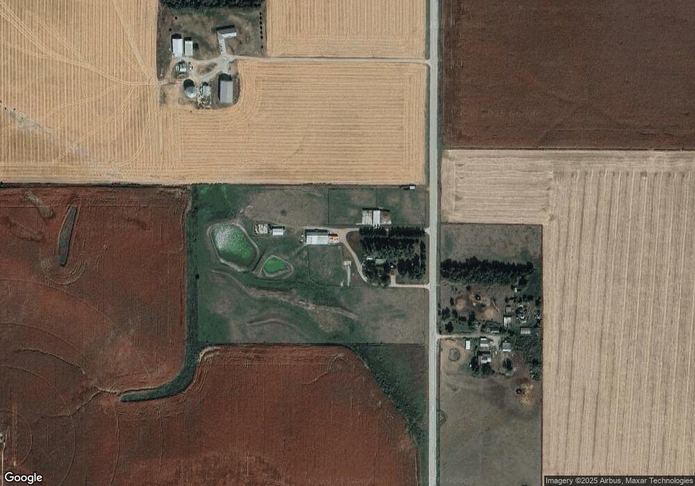
1017 18th Rd West Point, NE 68788
Estimated Value: $345,000 - $404,000
3
Beds
2
Baths
1,676
Sq Ft
$219/Sq Ft
Est. Value
About This Home
This home is located at 1017 18th Rd, West Point, NE 68788 and is currently estimated at $366,714, approximately $218 per square foot. 1017 18th Rd is a home located in Cuming County with nearby schools including West Point-Beemer Junior/Senior High School, Guardian Angels Elementary School, and St. Paul Lutheran School.
Ownership History
Date
Name
Owned For
Owner Type
Purchase Details
Closed on
Apr 15, 2024
Sold by
Klitz Francis H and Klitz Theresa E
Bought by
Klitz Braxton M
Current Estimated Value
Home Financials for this Owner
Home Financials are based on the most recent Mortgage that was taken out on this home.
Original Mortgage
$280,000
Outstanding Balance
$275,350
Interest Rate
6.94%
Mortgage Type
New Conventional
Estimated Equity
$91,364
Create a Home Valuation Report for This Property
The Home Valuation Report is an in-depth analysis detailing your home's value as well as a comparison with similar homes in the area
Home Values in the Area
Average Home Value in this Area
Purchase History
| Date | Buyer | Sale Price | Title Company |
|---|---|---|---|
| Klitz Braxton M | $350,000 | None Listed On Document |
Source: Public Records
Mortgage History
| Date | Status | Borrower | Loan Amount |
|---|---|---|---|
| Open | Klitz Braxton M | $280,000 |
Source: Public Records
Tax History Compared to Growth
Tax History
| Year | Tax Paid | Tax Assessment Tax Assessment Total Assessment is a certain percentage of the fair market value that is determined by local assessors to be the total taxable value of land and additions on the property. | Land | Improvement |
|---|---|---|---|---|
| 2025 | $1,381 | $258,290 | $101,940 | $156,350 |
| 2024 | $1,381 | $229,730 | $94,045 | $135,685 |
| 2023 | $369 | $219,405 | $87,405 | $132,000 |
| 2022 | $425 | $153,900 | $68,535 | $85,365 |
| 2021 | $445 | $146,760 | $68,870 | $77,890 |
| 2020 | $1,364 | $135,295 | $68,725 | $66,570 |
| 2019 | $813 | $128,330 | $68,915 | $59,415 |
| 2018 | $756 | $130,360 | $70,810 | $59,550 |
| 2017 | $517 | $122,505 | $68,235 | $54,270 |
| 2016 | $1,096 | $117,530 | $68,235 | $49,295 |
| 2015 | $545 | $110,345 | $61,050 | $49,295 |
| 2014 | $457 | $101,450 | $54,735 | $46,715 |
| 2013 | $457 | $88,550 | $41,275 | $47,275 |
Source: Public Records
Map
Nearby Homes