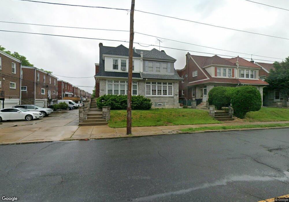
1017 Bridge St Philadelphia, PA 19124
Frankford NeighborhoodEstimated Value: $265,000 - $333,000
4
Beds
1
Bath
1,896
Sq Ft
$157/Sq Ft
Est. Value
About This Home
This home is located at 1017 Bridge St, Philadelphia, PA 19124 and is currently estimated at $297,730, approximately $157 per square foot. 1017 Bridge St is a home with nearby schools including Frankford High School, The Philadelphia Charter School for the Arts & Sciences, and Mastery Schools Smedley Elementary.
Ownership History
Date
Name
Owned For
Owner Type
Purchase Details
Closed on
Sep 27, 2002
Sold by
Bezold David F
Bought by
Dulin Robin A
Current Estimated Value
Home Financials for this Owner
Home Financials are based on the most recent Mortgage that was taken out on this home.
Original Mortgage
$88,000
Outstanding Balance
$34,430
Interest Rate
5.5%
Estimated Equity
$263,300
Purchase Details
Closed on
Mar 18, 1996
Sold by
Embery Joseph R and Evanick George J
Bought by
Bezold David F
Create a Home Valuation Report for This Property
The Home Valuation Report is an in-depth analysis detailing your home's value as well as a comparison with similar homes in the area
Home Values in the Area
Average Home Value in this Area
Purchase History
| Date | Buyer | Sale Price | Title Company |
|---|---|---|---|
| Dulin Robin A | $88,000 | -- | |
| Bezold David F | -- | -- |
Source: Public Records
Mortgage History
| Date | Status | Borrower | Loan Amount |
|---|---|---|---|
| Open | Dulin Robin A | $88,000 |
Source: Public Records
Tax History Compared to Growth
Tax History
| Year | Tax Paid | Tax Assessment Tax Assessment Total Assessment is a certain percentage of the fair market value that is determined by local assessors to be the total taxable value of land and additions on the property. | Land | Improvement |
|---|---|---|---|---|
| 2026 | $3,327 | $285,600 | $57,120 | $228,480 |
| 2025 | $3,327 | $285,600 | $57,120 | $228,480 |
| 2024 | $3,327 | $285,600 | $57,120 | $228,480 |
| 2023 | $3,327 | $237,700 | $47,540 | $190,160 |
| 2022 | $2,697 | $192,700 | $47,540 | $145,160 |
| 2021 | $2,493 | $0 | $0 | $0 |
| 2020 | $2,493 | $0 | $0 | $0 |
| 2019 | $2,392 | $0 | $0 | $0 |
| 2018 | $2,207 | $0 | $0 | $0 |
| 2017 | $2,207 | $0 | $0 | $0 |
| 2016 | -- | $0 | $0 | $0 |
| 2015 | -- | $0 | $0 | $0 |
| 2014 | -- | $157,700 | $36,250 | $121,450 |
| 2012 | -- | $19,424 | $3,103 | $16,321 |
Source: Public Records
Map
Nearby Homes
- 1048 Bridge St
- 1137 Bridge St
- 5659 Miriam Rd
- 5661 Miriam Rd
- 5640 Miriam Rd
- 1204 Pratt St
- 1218 Pratt St
- 1220 Pratt St
- 972 Bridge St
- 996 Anchor St
- 5505 Loretto Ave
- 991 Carver St
- 5347 Sylvester St
- 1244 E Sanger St
- 1431 Rosalie St
- 934 Brill St
- 5118 Oakland St
- 934 E Sanger St
- 5304 Akron St
- 1225 E Cheltenham Ave
- 1015 Bridge St
- 1019 Bridge St
- 1021 Bridge St
- 1023 Bridge St
- 5303 Castor Ave
- 5307 Castor Ave
- 5301 Castor Ave
- 5305 Castor Ave
- 5309 Castor Ave
- 1025 Bridge St
- 5308 Rutland St
- 5311 Castor Ave
- 1027 Bridge St
- 5313 Castor Ave
- 1029 Bridge St
- 5245 Castor Ave
- 5312 Rutland St
- 1040 Bridge St
- 1030 Bridge St
- 1032 Bridge St