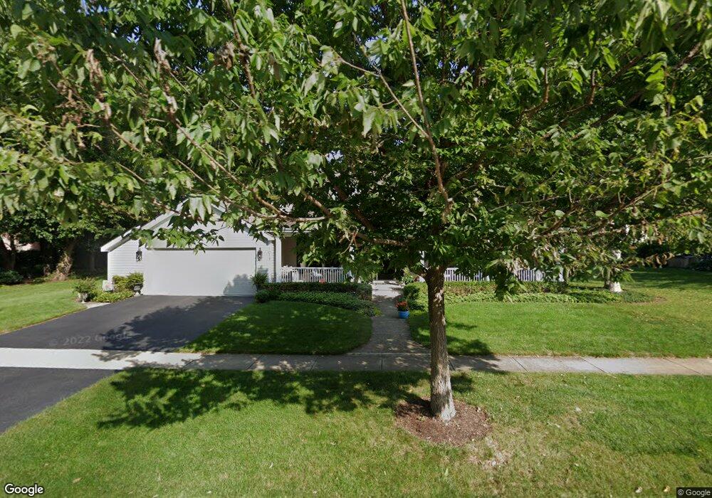
1017 Brigham Way Geneva, IL 60134
Eagle Brook NeighborhoodEstimated Value: $694,757 - $746,000
4
Beds
4
Baths
2,831
Sq Ft
$256/Sq Ft
Est. Value
About This Home
This home is located at 1017 Brigham Way, Geneva, IL 60134 and is currently estimated at $725,189, approximately $256 per square foot. 1017 Brigham Way is a home located in Kane County with nearby schools including Western Avenue Elementary School, Geneva Community High School, and St. Peter School.
Ownership History
Date
Name
Owned For
Owner Type
Purchase Details
Closed on
Jul 29, 2020
Sold by
Martin Jane A
Bought by
Martin Jane A and Martin John P
Current Estimated Value
Purchase Details
Closed on
May 1, 2002
Sold by
Martin John P
Bought by
Martin Jane A
Create a Home Valuation Report for This Property
The Home Valuation Report is an in-depth analysis detailing your home's value as well as a comparison with similar homes in the area
Home Values in the Area
Average Home Value in this Area
Purchase History
| Date | Buyer | Sale Price | Title Company |
|---|---|---|---|
| Martin Jane A | -- | Attorney | |
| Martin Jane A | -- | -- |
Source: Public Records
Tax History Compared to Growth
Tax History
| Year | Tax Paid | Tax Assessment Tax Assessment Total Assessment is a certain percentage of the fair market value that is determined by local assessors to be the total taxable value of land and additions on the property. | Land | Improvement |
|---|---|---|---|---|
| 2024 | $12,381 | $178,240 | $55,309 | $122,931 |
| 2023 | $12,017 | $162,036 | $50,281 | $111,755 |
| 2022 | $11,687 | $150,563 | $46,721 | $103,842 |
| 2021 | $11,314 | $144,968 | $44,985 | $99,983 |
| 2020 | $11,178 | $142,755 | $44,298 | $98,457 |
| 2019 | $11,142 | $140,052 | $43,459 | $96,593 |
| 2018 | $11,126 | $140,052 | $43,459 | $96,593 |
| 2017 | $10,992 | $136,317 | $42,300 | $94,017 |
| 2016 | $11,041 | $134,474 | $41,728 | $92,746 |
| 2015 | -- | $127,851 | $39,673 | $88,178 |
| 2014 | -- | $118,376 | $36,839 | $81,537 |
| 2013 | -- | $118,376 | $36,839 | $81,537 |
Source: Public Records
Map
Nearby Homes
- 1417 Sherwood Ln
- 1580 Turnberry Ct
- 710 Peck Rd
- 747 Cheever Ave
- 615 Easton Ave
- 1437 Cooper Ln
- 301 Country Club Place
- 1837 Heather Rd
- 1736 Kaneville Rd
- 1516 S Batavia Ave
- 1301 S Batavia Ave
- 1530 Kaneville Rd
- 413 Cheever Ave
- 51 Burgess Rd
- 246 Kenston Ct Unit 246
- 1211 James St
- 221 Campbell Ct
- 839 S Randall Rd
- 315 S 5th St
- 705 W Fabyan Pkwy
- 1080 Ashbury Ct
- 1105 Brigham Way
- 1626 Lois Ct
- 1616 Lois Ct
- 1104 Ashbury Ct
- 1070 Ashbury Ct
- 1104 Brigham Way
- 1623 Country Squire Dr
- 1606 Lois Ct
- 1122 Ashbury Ct
- 1517 Fargo Blvd
- 1122 Brigham Way
- 1525 Fargo Blvd
- 1081 Ashbury Ct
- 1623 Lois Ct
- 1511 Fargo Blvd
- 1613 Lois Ct
- 1105 Ashbury Ct
- 1604 Lois Ct Unit 3
- 1533 Fargo Blvd