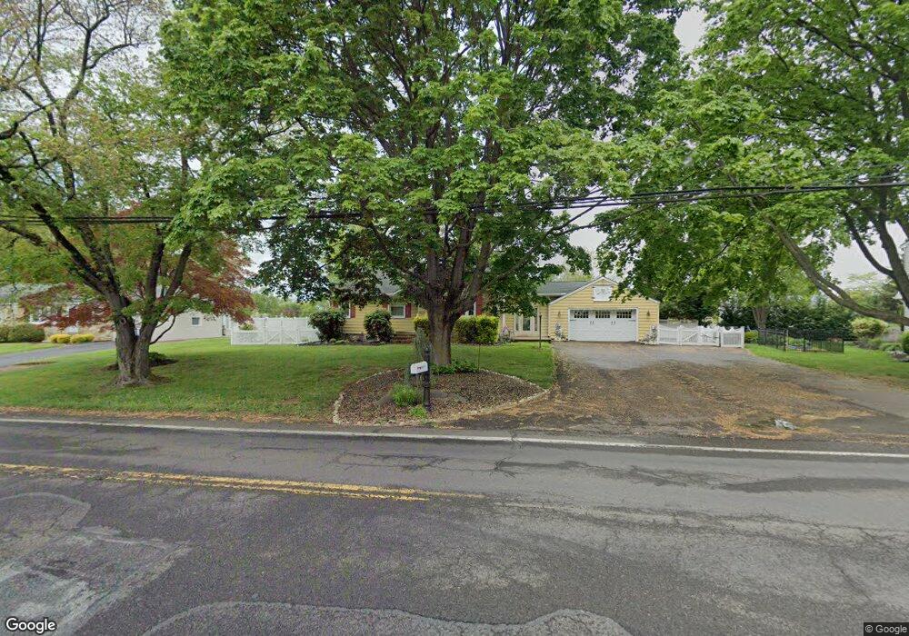
1017 Brownsville Rd Langhorne, PA 19047
Estimated Value: $407,758 - $415,000
2
Beds
1
Bath
1,233
Sq Ft
$335/Sq Ft
Est. Value
About This Home
This home is located at 1017 Brownsville Rd, Langhorne, PA 19047 and is currently estimated at $412,440, approximately $334 per square foot. 1017 Brownsville Rd is a home located in Bucks County with nearby schools including Tawanka Elementary School, Maple Point Middle School, and Neshaminy High School.
Ownership History
Date
Name
Owned For
Owner Type
Purchase Details
Closed on
Jul 24, 2019
Sold by
Martin Teresa L
Bought by
Hoffman Christopher Andrew and Hoffman Chelsea Lynn
Current Estimated Value
Home Financials for this Owner
Home Financials are based on the most recent Mortgage that was taken out on this home.
Original Mortgage
$260,000
Outstanding Balance
$227,359
Interest Rate
3.73%
Mortgage Type
New Conventional
Estimated Equity
$185,081
Purchase Details
Closed on
Mar 28, 1985
Sold by
Snell Herman Clayton
Bought by
Martin Steven J and Martin Teresa L
Create a Home Valuation Report for This Property
The Home Valuation Report is an in-depth analysis detailing your home's value as well as a comparison with similar homes in the area
Home Values in the Area
Average Home Value in this Area
Purchase History
| Date | Buyer | Sale Price | Title Company |
|---|---|---|---|
| Hoffman Christopher Andrew | -- | Tohickon Settlement Svcs Inc | |
| Martin Steven J | $69,000 | -- |
Source: Public Records
Mortgage History
| Date | Status | Borrower | Loan Amount |
|---|---|---|---|
| Open | Hoffman Christopher Andrew | $260,000 |
Source: Public Records
Tax History Compared to Growth
Tax History
| Year | Tax Paid | Tax Assessment Tax Assessment Total Assessment is a certain percentage of the fair market value that is determined by local assessors to be the total taxable value of land and additions on the property. | Land | Improvement |
|---|---|---|---|---|
| 2025 | $5,029 | $23,100 | $5,480 | $17,620 |
| 2024 | $5,029 | $23,100 | $5,480 | $17,620 |
| 2023 | $4,949 | $23,100 | $5,480 | $17,620 |
| 2022 | $4,819 | $23,100 | $5,480 | $17,620 |
| 2021 | $4,819 | $23,100 | $5,480 | $17,620 |
| 2020 | $4,761 | $23,100 | $5,480 | $17,620 |
| 2019 | $4,655 | $23,100 | $5,480 | $17,620 |
| 2018 | $4,570 | $23,100 | $5,480 | $17,620 |
| 2017 | $4,453 | $23,100 | $5,480 | $17,620 |
| 2016 | $4,584 | $23,100 | $5,480 | $17,620 |
| 2015 | $4,642 | $23,100 | $5,480 | $17,620 |
| 2014 | $4,642 | $23,100 | $5,480 | $17,620 |
Source: Public Records
Map
Nearby Homes
- 1210 Brownsville Rd
- 166 N Hawthorne Ave
- 1021 W Maple Ave
- 13 Golf Club Dr
- 225 Playwicki St
- 449 Grand Ave
- 230 Playwicki St
- 257 Wisteria Ave
- 308 W Richardson Ave
- 565 Hulmeville Rd
- 710 Fox Ct
- 523 Turtle Ln
- 1605 Old Lincoln Hwy
- 1420 Super Hwy
- 2816 Avenue E
- 2823 Avenue E
- 1516 Fairview Ave
- 0 Prospect Ave
- 2623 Sunnyside Ave
- 739 Bridgeview Rd
- 1031 Brownsville Rd
- 1004 Broadview Ave
- 1005 Brownsville Rd
- 992 Broadview Ave
- 1014 Broadview Ave
- 102 Butterworth Ln
- 982 Broadview Ave
- 105 Butterworth Ln
- 1024 Broadview Ave
- 110 Colonial Dr
- 1045 Brownsville Rd
- 972 Broadview Ave
- 1034 Broadview Ave
- 117 Butterworth Ln
- 209 Aspen Ave
- 118 Colonial Dr
- 962 Broadview Ave
- 1111 Brownsville Rd
- 128 Butterworth Ln
- 1009 Broadview Ave