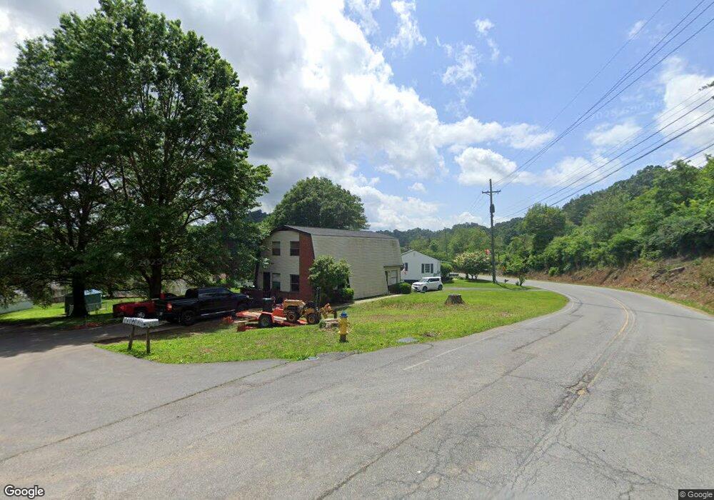
1017 Bryant Dr Bristol, VA 24201
Estimated Value: $143,000 - $171,000
2
Beds
2
Baths
1,045
Sq Ft
$152/Sq Ft
Est. Value
About This Home
This home is located at 1017 Bryant Dr, Bristol, VA 24201 and is currently estimated at $158,333, approximately $151 per square foot. 1017 Bryant Dr is a home located in Bristol City with nearby schools including Virginia High School, Morrison School, and Brookside Academy.
Ownership History
Date
Name
Owned For
Owner Type
Purchase Details
Closed on
Sep 11, 2019
Sold by
King Investment Group Llc
Bought by
L & B Of Bristol Llc
Current Estimated Value
Home Financials for this Owner
Home Financials are based on the most recent Mortgage that was taken out on this home.
Original Mortgage
$200,000
Outstanding Balance
$175,184
Interest Rate
3.6%
Mortgage Type
Credit Line Revolving
Estimated Equity
-$16,851
Create a Home Valuation Report for This Property
The Home Valuation Report is an in-depth analysis detailing your home's value as well as a comparison with similar homes in the area
Purchase History
| Date | Buyer | Sale Price | Title Company |
|---|---|---|---|
| L & B Of Bristol Llc | $442,500 | Attorney |
Source: Public Records
Mortgage History
| Date | Status | Borrower | Loan Amount |
|---|---|---|---|
| Open | L & B Of Bristol Llc | $200,000 |
Source: Public Records
Tax History
| Year | Tax Paid | Tax Assessment Tax Assessment Total Assessment is a certain percentage of the fair market value that is determined by local assessors to be the total taxable value of land and additions on the property. | Land | Improvement |
|---|---|---|---|---|
| 2025 | $1,136 | $122,100 | $12,500 | $109,600 |
| 2024 | $781 | $69,700 | $10,000 | $59,700 |
| 2023 | $815 | $69,700 | $10,000 | $59,700 |
| 2022 | $781 | $69,700 | $10,000 | $59,700 |
| 2021 | $781 | $69,700 | $10,000 | $59,700 |
| 2020 | $710 | $60,700 | $10,000 | $50,700 |
| 2019 | $710 | $60,700 | $10,000 | $50,700 |
| 2018 | $355 | $60,700 | $10,000 | $50,700 |
| 2016 | -- | $51,000 | $0 | $0 |
| 2015 | -- | $0 | $0 | $0 |
| 2014 | -- | $0 | $0 | $0 |
Source: Public Records
Map
Nearby Homes
- 135 Montrose Dr
- Tbd Amy St
- 340 Wagner Rd
- 2104 Osborne St
- 212 Magnolia Dr
- 1056 Clark St
- 322 Randolph St
- 332 Randolph St
- 416 Randolph St
- 644 Page St
- 2125 Randolph St
- 2140 Randolph St
- 2413 Catherine St
- 2412,14,16 Bradley St
- 2400 Bradley St
- 2416 Bradley St
- 1125 Arlington Ave
- 2412 Bradley St
- 2414 Bradley St
- 000 Hemlock Dr
- 1015 Bryant Dr
- 1239A/B Bryant Dr
- 1239C/D Bryant Dr Unit C-D
- 1239E/F Bryant Dr Unit E-F
- 1239 Bryant Dr
- 1233 Island Rd
- 1239 Island Rd
- 1239 Island Rd
- 1239 Island Rd
- 1239 Island Rd
- 1239 Island Rd
- 1239 Island Rd
- 1016 Bryant Dr
- 1016 Bryant Dr
- 1280 Island Rd
- 1018 Bryant Dr
- 1018 Bryant Dr Unit 1243
- 1266 Island Rd
- 1247 Island Rd
- 24 Harmony Dr
Your Personal Tour Guide
Ask me questions while you tour the home.