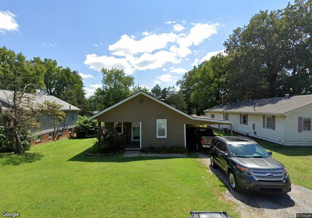
1017 Cedar St Harrisburg, IL 62946
Estimated Value: $49,071 - $100,000
--
Bed
--
Bath
--
Sq Ft
9,365
Sq Ft Lot
About This Home
This home is located at 1017 Cedar St, Harrisburg, IL 62946 and is currently estimated at $78,018. 1017 Cedar St is a home located in Saline County with nearby schools including East Side Intermediate School, Harrisburg Middle School, and Harrisburg High School.
Ownership History
Date
Name
Owned For
Owner Type
Purchase Details
Closed on
Mar 24, 2021
Sold by
Shavez Roy T and Shavez Sheliah K
Bought by
Woolard William George Arik and Woolard Whitley R
Current Estimated Value
Home Financials for this Owner
Home Financials are based on the most recent Mortgage that was taken out on this home.
Original Mortgage
$30,400
Outstanding Balance
$27,204
Interest Rate
2.73%
Mortgage Type
New Conventional
Estimated Equity
$50,814
Create a Home Valuation Report for This Property
The Home Valuation Report is an in-depth analysis detailing your home's value as well as a comparison with similar homes in the area
Home Values in the Area
Average Home Value in this Area
Purchase History
| Date | Buyer | Sale Price | Title Company |
|---|---|---|---|
| Woolard William George Arik | $32,000 | Attorney |
Source: Public Records
Mortgage History
| Date | Status | Borrower | Loan Amount |
|---|---|---|---|
| Open | Woolard William George Arik | $30,400 |
Source: Public Records
Tax History Compared to Growth
Tax History
| Year | Tax Paid | Tax Assessment Tax Assessment Total Assessment is a certain percentage of the fair market value that is determined by local assessors to be the total taxable value of land and additions on the property. | Land | Improvement |
|---|---|---|---|---|
| 2024 | $1,993 | $22,258 | $1,038 | $21,220 |
| 2023 | $1,863 | $18,866 | $880 | $17,986 |
| 2022 | $1,837 | $17,785 | $830 | $16,955 |
| 2021 | $1,901 | $18,335 | $856 | $17,479 |
| 2020 | $1,880 | $17,785 | $830 | $16,955 |
| 2019 | $1,915 | $17,785 | $830 | $16,955 |
| 2018 | $1,283 | $17,785 | $830 | $16,955 |
| 2017 | $1,263 | $17,785 | $830 | $16,955 |
| 2016 | $12 | $17,785 | $830 | $16,955 |
| 2015 | -- | $17,785 | $830 | $16,955 |
| 2014 | $1,145 | $17,785 | $830 | $16,955 |
| 2013 | $1,145 | $17,785 | $830 | $16,955 |
| 2012 | $1,145 | $17,785 | $830 | $16,955 |
Source: Public Records
Map
Nearby Homes
- 1120 Dorris Heights Rd
- 111 W Midkiff St
- 204 N Sherman St
- 430 W Church St
- 216 W Poplar St
- 202 W Poplar St
- 504 W South St
- 205 S Shaw St
- 305 W Church St
- 827 W Raymond St
- 405 S Shaw St
- 0 Ron Crank Dr Unit EB441387
- 104 Hickory St
- 210 W Lincoln St
- 305 W Lincoln St
- 215 S Jackson St
- 311 W Poplar St
- 18 S Mill St
- 500 W Sloan St
- 520 S Mckinley St
- 1013 Cedar St
- 1620 Grove St
- 1005 Cedar St
- 1101 Cedar St
- 1020 Dorris Heights Rd
- 1621 Grape St
- 1008 Dorris Heights Rd
- 1615 Grape St
- 1016 Cedar St
- 1008 Cedar St
- 1024 Cedar St
- 1601 Grape St
- 1000 Cedar St
- 1113 Cedar St
- 1102 Cedar St
- 1100 Dorris Heights Rd
- 925 Cedar St
- 1600 Brush St
- 1121 Cedar St
- 920 Dorris Heights Rd