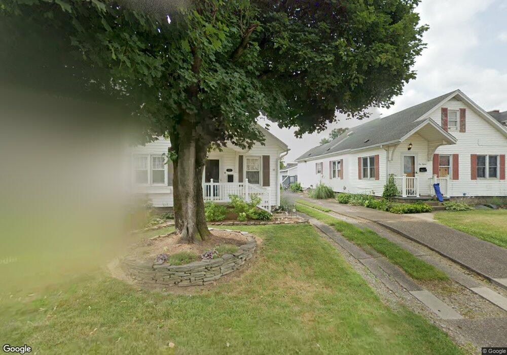
1017 Denman Ave Coshocton, OH 43812
Estimated Value: $145,000 - $174,035
3
Beds
3
Baths
1,810
Sq Ft
$86/Sq Ft
Est. Value
About This Home
This home is located at 1017 Denman Ave, Coshocton, OH 43812 and is currently estimated at $156,009, approximately $86 per square foot. 1017 Denman Ave is a home located in Coshocton County with nearby schools including Coshocton High School, Coshocton Opportunity School, and Sacred Heart Elementary School.
Ownership History
Date
Name
Owned For
Owner Type
Purchase Details
Closed on
Jun 2, 2025
Sold by
Custer Barbara E
Bought by
Custer David A and Custer Barbara E
Current Estimated Value
Purchase Details
Closed on
Jul 18, 2001
Sold by
Custer Barbara E
Bought by
Custer Barbara E
Purchase Details
Closed on
Jun 1, 1998
Sold by
Custer Barbara E Int
Bought by
Custer Barbara E Int
Purchase Details
Closed on
Apr 2, 1998
Sold by
Strub Thomas W
Bought by
Custer Barbara E Int
Create a Home Valuation Report for This Property
The Home Valuation Report is an in-depth analysis detailing your home's value as well as a comparison with similar homes in the area
Home Values in the Area
Average Home Value in this Area
Purchase History
| Date | Buyer | Sale Price | Title Company |
|---|---|---|---|
| Custer David A | -- | None Listed On Document | |
| Custer David A | -- | None Listed On Document | |
| Custer Barbara E | -- | -- | |
| Custer Barbara E Int | $21,300 | -- | |
| Custer Barbara E Int | -- | -- |
Source: Public Records
Tax History Compared to Growth
Tax History
| Year | Tax Paid | Tax Assessment Tax Assessment Total Assessment is a certain percentage of the fair market value that is determined by local assessors to be the total taxable value of land and additions on the property. | Land | Improvement |
|---|---|---|---|---|
| 2024 | $1,523 | $36,800 | $3,970 | $32,830 |
| 2023 | $1,523 | $31,325 | $2,772 | $28,553 |
| 2022 | $1,495 | $31,325 | $2,772 | $28,553 |
| 2021 | $1,497 | $31,325 | $2,772 | $28,553 |
| 2020 | $1,366 | $27,633 | $2,832 | $24,801 |
| 2019 | $1,382 | $27,633 | $2,832 | $24,801 |
| 2018 | $705 | $27,633 | $2,832 | $24,801 |
| 2017 | $1,191 | $23,143 | $2,643 | $20,500 |
| 2016 | $1,143 | $23,143 | $2,643 | $20,500 |
| 2015 | $354 | $23,143 | $2,643 | $20,500 |
| 2014 | $1,067 | $23,202 | $2,643 | $20,559 |
Source: Public Records
Map
Nearby Homes
- 935 S 7th St
- Lot 8 Country Club Dr
- Lot# 7, S 12th St
- 922 Pine St
- 810 Pine St
- Lot 2 Country Club Dr
- Lot 1 Country Club Dr
- Lot 5 Country Club Dr
- Lot 4 Country Club Dr
- Lot 3 Country Club Dr
- Lot 6 Country Club Dr
- Lot 7 Country Club Dr
- 720 Pine St
- 731 S Lawn Ave
- 380 S 10th St
- 597 S 12th St
- 1333 Kenilworth Ave
- 0 Ohio 541
- 1730 Otsego Ave
- 510 S 8th St
- 1015 Denman Ave
- 1027 Denman Ave
- 1013 Denman Ave
- 1029 Denman Ave
- 1007 Denman Ave
- 1020 Cassingham Ave
- 1022 Cassingham Ave
- 1030 Denman Ave
- 1018 Denman Ave
- 1014 Denman Ave
- 1030 Cassingham Ave
- 1045 Denman Ave
- 1034 Cassingham Ave
- 1010 Cassingham Ave
- 1012 Cassingham Ave
- 1038 Cassingham Ave
- 1034 Denman Ave
- 1034 Denman Ave
- 1010 Denman Ave
- 923 Denman Ave