1017 Ferry Rd Durham, ME 04222
Estimated Value: $316,980 - $427,000
2
Beds
1
Bath
1,192
Sq Ft
$297/Sq Ft
Est. Value
About This Home
This home is located at 1017 Ferry Rd, Durham, ME 04222 and is currently estimated at $353,745, approximately $296 per square foot. 1017 Ferry Rd is a home with nearby schools including Durham Community School and Freeport High School.
Ownership History
Date
Name
Owned For
Owner Type
Purchase Details
Closed on
May 3, 2016
Sold by
Herling Maxine C W Est
Bought by
Herling Abigail E
Current Estimated Value
Home Financials for this Owner
Home Financials are based on the most recent Mortgage that was taken out on this home.
Original Mortgage
$90,000
Outstanding Balance
$71,809
Interest Rate
3.73%
Mortgage Type
VA
Estimated Equity
$281,936
Create a Home Valuation Report for This Property
The Home Valuation Report is an in-depth analysis detailing your home's value as well as a comparison with similar homes in the area
Home Values in the Area
Average Home Value in this Area
Purchase History
| Date | Buyer | Sale Price | Title Company |
|---|---|---|---|
| Herling Abigail E | -- | -- |
Source: Public Records
Mortgage History
| Date | Status | Borrower | Loan Amount |
|---|---|---|---|
| Open | Herling Abigail E | $90,000 |
Source: Public Records
Tax History
| Year | Tax Paid | Tax Assessment Tax Assessment Total Assessment is a certain percentage of the fair market value that is determined by local assessors to be the total taxable value of land and additions on the property. | Land | Improvement |
|---|---|---|---|---|
| 2024 | $2,904 | $133,500 | $55,800 | $77,700 |
| 2023 | $2,850 | $133,500 | $55,800 | $77,700 |
| 2022 | $2,763 | $133,500 | $55,800 | $77,700 |
| 2021 | $2,763 | $133,500 | $55,800 | $77,700 |
| 2020 | $2,703 | $133,500 | $55,800 | $77,700 |
| 2019 | $2,703 | $133,500 | $55,800 | $77,700 |
| 2018 | $2,630 | $133,500 | $55,800 | $77,700 |
| 2016 | $2,510 | $133,500 | $55,800 | $77,700 |
| 2015 | $2,323 | $133,500 | $55,800 | $77,700 |
| 2014 | $2,223 | $133,500 | $55,800 | $77,700 |
| 2013 | $1,996 | $133,500 | $55,800 | $77,700 |
Source: Public Records
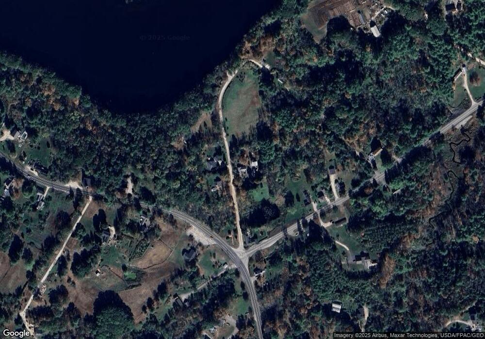
Map
Nearby Homes
- 1016 Ferry Rd
- 1020 Ferry Rd
- 1003 Ferry Rd
- 18 Newell Brook Rd
- 22 Newell Brook Rd
- 0 Newell Brook Rd
- 0 Newall Brook
- 0 Newell Brook
- 1036 Ferry Rd
- 24 Newell Brook Rd
- 11 Newell Brook Rd
- 781 Royalsborough Rd
- 790 Royalsborough Rd
- 759 Royalsborough Rd
- 1041 Ferry Rd
- 25 Newell Brook Rd
- 25 Newell Brook Rd
- 15 Yankee Way
- 36 Newell Brook Rd
- 38 Newell Brook Rd
Your Personal Tour Guide
Ask me questions while you tour the home.