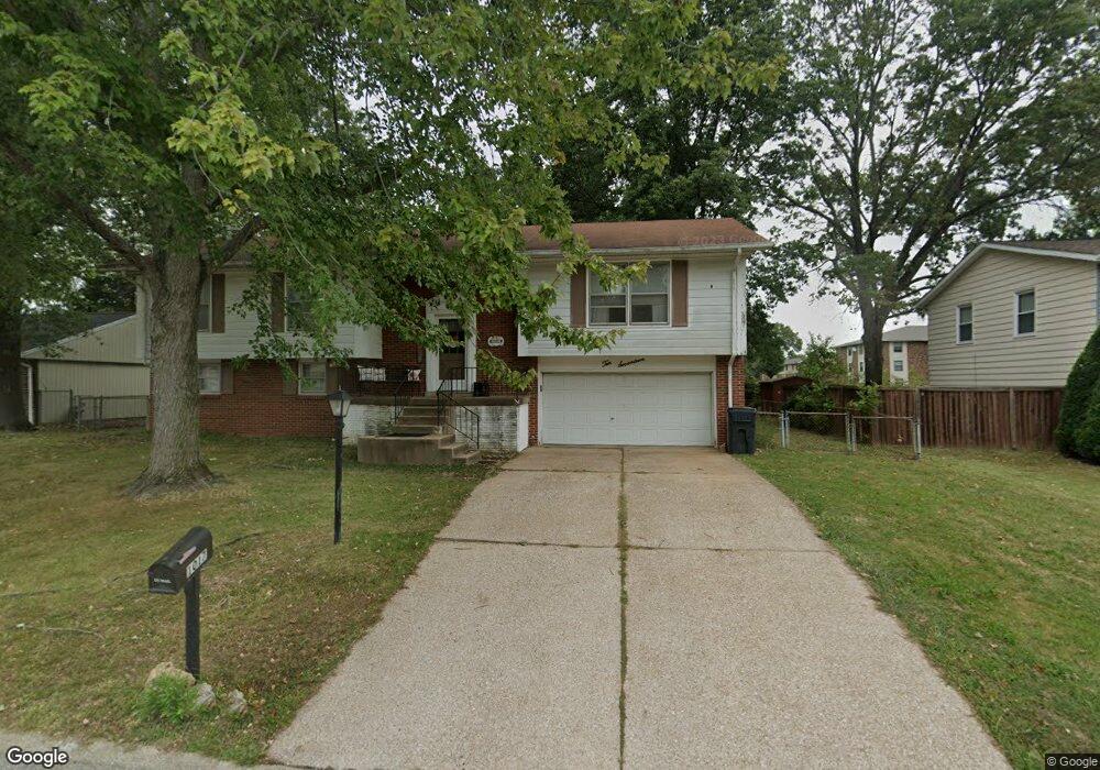
1017 Five Forks Dr Belleville, IL 62221
Estimated Value: $183,000 - $210,837
Studio
--
Bath
1,350
Sq Ft
$150/Sq Ft
Est. Value
About This Home
This home is located at 1017 Five Forks Dr, Belleville, IL 62221 and is currently estimated at $202,209, approximately $149 per square foot. 1017 Five Forks Dr is a home located in St. Clair County with nearby schools including Belle Valley Elementary School-North, Zion Lutheran School Belleville, and St Teresa Catholic School.
Ownership History
Date
Name
Owned For
Owner Type
Purchase Details
Closed on
Dec 14, 2005
Sold by
Pecina Joyce L
Bought by
Shanklin Bobby J and Shanklin Deanne S
Current Estimated Value
Home Financials for this Owner
Home Financials are based on the most recent Mortgage that was taken out on this home.
Original Mortgage
$147,000
Outstanding Balance
$82,589
Interest Rate
6.36%
Mortgage Type
Fannie Mae Freddie Mac
Estimated Equity
$119,620
Purchase Details
Closed on
Sep 17, 2003
Sold by
Pecina Joyce L
Bought by
Pecina Thomas L
Create a Home Valuation Report for This Property
The Home Valuation Report is an in-depth analysis detailing your home's value as well as a comparison with similar homes in the area
Home Values in the Area
Average Home Value in this Area
Purchase History
| Date | Buyer | Sale Price | Title Company |
|---|---|---|---|
| Shanklin Bobby J | $147,000 | First County Title Co | |
| Pecina Thomas L | -- | -- |
Source: Public Records
Mortgage History
| Date | Status | Borrower | Loan Amount |
|---|---|---|---|
| Open | Shanklin Bobby J | $147,000 |
Source: Public Records
Tax History
| Year | Tax Paid | Tax Assessment Tax Assessment Total Assessment is a certain percentage of the fair market value that is determined by local assessors to be the total taxable value of land and additions on the property. | Land | Improvement |
|---|---|---|---|---|
| 2024 | $3,672 | $49,437 | $6,589 | $42,848 |
| 2023 | $3,686 | $48,571 | $6,498 | $42,073 |
| 2022 | $3,461 | $44,236 | $5,918 | $38,318 |
| 2021 | $3,402 | $42,420 | $5,675 | $36,745 |
| 2020 | $3,315 | $39,505 | $5,285 | $34,220 |
| 2019 | $3,223 | $39,307 | $5,393 | $33,914 |
| 2018 | $3,100 | $38,303 | $5,255 | $33,048 |
| 2017 | $3,015 | $37,284 | $5,115 | $32,169 |
| 2016 | $3,012 | $35,999 | $4,939 | $31,060 |
| 2014 | $2,401 | $32,698 | $6,341 | $26,357 |
| 2013 | $3,468 | $32,698 | $6,341 | $26,357 |
Source: Public Records
Map
Nearby Homes
- 421 Stone River Rd
- 405 Todd Ln
- 3213 West Blvd
- 1301 Springfield Dr
- 1419 Vicksburg Dr
- 1423 Vicksburg Dr
- 1319 Springfield Dr
- 3313 Denvershire Dr
- 3306 Saratoga Dr Unit 3304/3306
- 204 Bunker Hill Rd
- 2077 Camrose Green St
- 1509 Potomac Dr
- 2073 Camrose Green St
- 3300 Berwin Green Dr
- 2069 Camrose Green St
- 2065 Camrose Green St
- 2061 Camrose Green St
- 2057 Camrose Green St
- 3304 Berwin Green Dr
- 2053 Camrose Green St
- 1013 5 Forks Dr
- 1013 Five Forks Dr
- 1021 Five Forks Dr
- 1025 Five Forks Dr
- 1009 Five Forks Dr
- 1025 5 Forks Dr
- 1016 Five Forks Dr
- 1020 Five Forks Dr
- 1012 Five Forks Dr
- 1008 Brookshire Ct Unit 8
- 1008 Brookshire Ct Unit 9
- 1008 Brookshire Ct Unit 3
- 1008 Brookshire Ct
- 1008 Brookshire Ct Unit 12
- 1008 Brookshire Ct Unit 10
- 1008 Brookshire Ct Unit 4
- 1008 Brookshire Ct Unit 2
- 1008 Brookshire Ct Unit 1
- 1008 Brookshire Ct
- 1016 Brookshire Ct
Your Personal Tour Guide
Ask me questions while you tour the home.