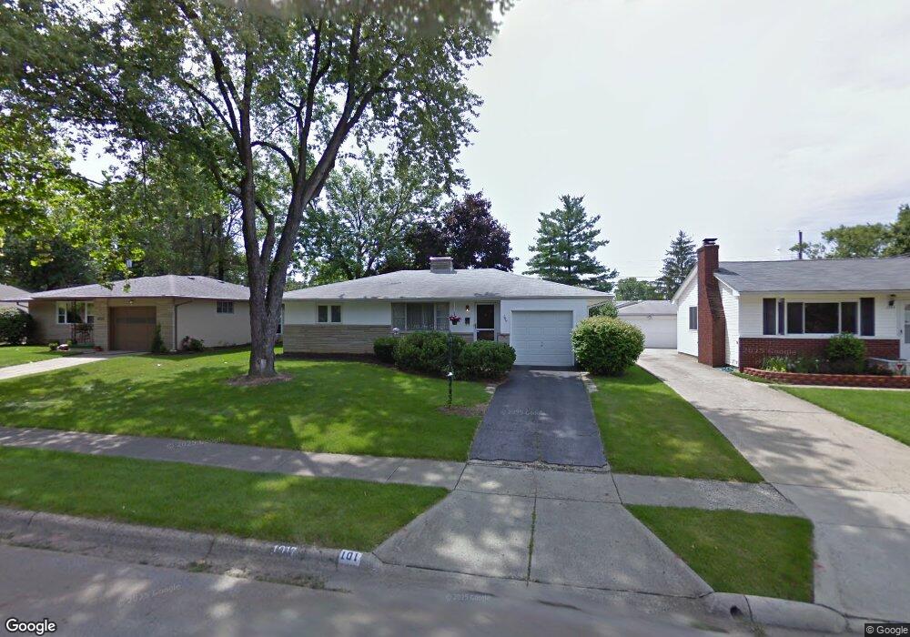
1017 Fordham Rd Columbus, OH 43224
Maize-Morse NeighborhoodEstimated Value: $260,425 - $305,000
3
Beds
2
Baths
1,156
Sq Ft
$243/Sq Ft
Est. Value
About This Home
This home is located at 1017 Fordham Rd, Columbus, OH 43224 and is currently estimated at $281,356, approximately $243 per square foot. 1017 Fordham Rd is a home located in Franklin County with nearby schools including Maize Road Elementary School, Medina Middle School, and Mifflin High School.
Ownership History
Date
Name
Owned For
Owner Type
Purchase Details
Closed on
Sep 6, 2022
Sold by
Curry Dianne E
Bought by
Sadeghi Arash Kaden
Current Estimated Value
Home Financials for this Owner
Home Financials are based on the most recent Mortgage that was taken out on this home.
Original Mortgage
$208,500
Outstanding Balance
$199,149
Interest Rate
5.22%
Mortgage Type
New Conventional
Estimated Equity
$82,207
Purchase Details
Closed on
Oct 31, 1995
Sold by
Hansel David O
Bought by
Dianne E Curry
Home Financials for this Owner
Home Financials are based on the most recent Mortgage that was taken out on this home.
Original Mortgage
$68,500
Interest Rate
7.65%
Mortgage Type
New Conventional
Create a Home Valuation Report for This Property
The Home Valuation Report is an in-depth analysis detailing your home's value as well as a comparison with similar homes in the area
Home Values in the Area
Average Home Value in this Area
Purchase History
| Date | Buyer | Sale Price | Title Company |
|---|---|---|---|
| Sadeghi Arash Kaden | $235,500 | Stewart Title | |
| Dianne E Curry | $88,500 | -- |
Source: Public Records
Mortgage History
| Date | Status | Borrower | Loan Amount |
|---|---|---|---|
| Open | Sadeghi Arash Kaden | $208,500 | |
| Previous Owner | Dianne E Curry | $68,500 |
Source: Public Records
Tax History Compared to Growth
Tax History
| Year | Tax Paid | Tax Assessment Tax Assessment Total Assessment is a certain percentage of the fair market value that is determined by local assessors to be the total taxable value of land and additions on the property. | Land | Improvement |
|---|---|---|---|---|
| 2024 | $3,523 | $78,510 | $19,250 | $59,260 |
| 2023 | $3,478 | $78,510 | $19,250 | $59,260 |
| 2022 | $1,894 | $45,260 | $7,880 | $37,380 |
| 2021 | $1,897 | $45,260 | $7,880 | $37,380 |
| 2020 | $1,899 | $45,260 | $7,880 | $37,380 |
| 2019 | $1,618 | $35,420 | $6,300 | $29,120 |
| 2018 | $1,656 | $35,420 | $6,300 | $29,120 |
| 2017 | $1,720 | $35,420 | $6,300 | $29,120 |
| 2016 | $1,858 | $35,250 | $5,950 | $29,300 |
| 2015 | $1,697 | $35,250 | $5,950 | $29,300 |
| 2014 | $1,597 | $35,250 | $5,950 | $29,300 |
| 2013 | $895 | $37,100 | $6,265 | $30,835 |
Source: Public Records
Map
Nearby Homes
- 1071 Loring Rd
- 4441 Wetmore Rd E
- 1266 Pershing Dr
- 1116 Tulsa Dr
- 1125 Upland Dr
- 1191 Bryson Rd
- 1130 Carbone Dr
- 814 Meadowview Dr
- 1064 Hillsdale Dr
- 4904 Almont Dr
- 601 Morse Rd
- 597 Morse Rd
- 4983 Almont Dr
- 4455 Kenfield Rd
- 522 E Beechwold Blvd
- 518 E Royal Forest Blvd
- 4791 Bourke Rd
- 1414 Alvina Dr
- 4815 Bourke Rd
- 4761 Colonel Perry Dr
- 1009 Fordham Rd
- 1025 Fordham Rd
- 1033 Fordham Rd
- 1012 Marland Dr N
- 4580 Sandy Lane Rd
- 1020 Marland Dr N
- 1028 Marland Dr N
- 1020 Fordham Rd
- 4560 Sandy Lane Rd
- 1041 Fordham Rd
- 1012 Fordham Rd
- 1028 Fordham Rd
- 1036 Fordham Rd
- 4598 Sandy Lane Rd
- 1036 Marland Dr N
- 1049 Fordham Rd
- 1042 Fordham Rd
- 1044 Marland Dr N
- 1025 Loring Rd
- 1050 Fordham Rd