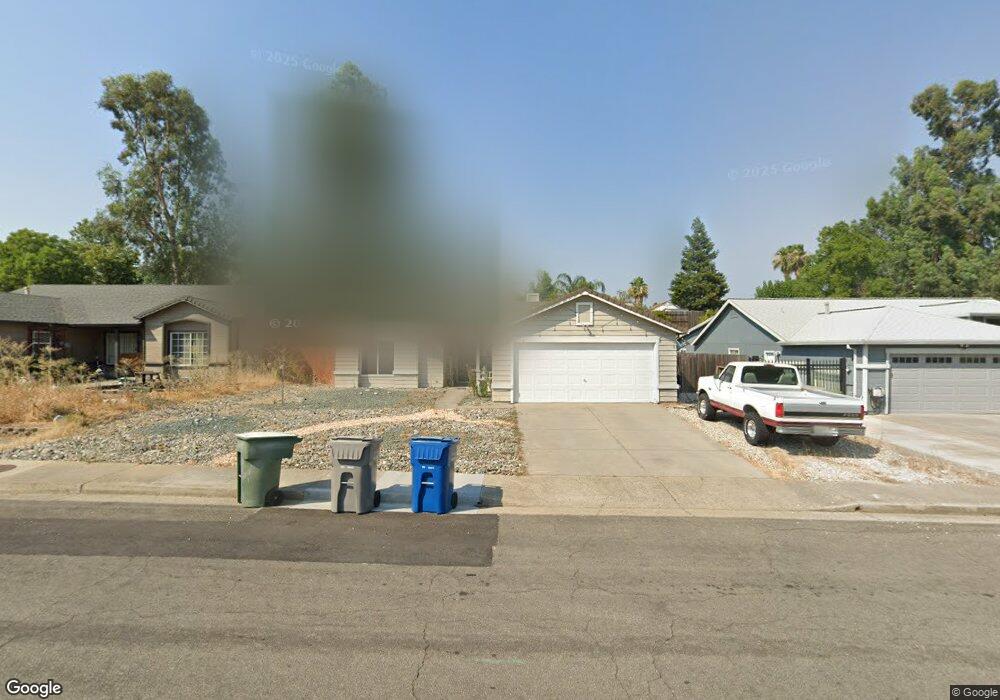
1017 Grouse Dr Redding, CA 96003
Boulder Creek NeighborhoodEstimated Value: $364,145 - $387,000
About This Home
This home is located at 1017 Grouse Dr, Redding, CA 96003 and is currently estimated at $374,036, approximately $251 per square foot. 1017 Grouse Dr is a home located in Shasta County with nearby schools including Boulder Creek Elementary School, Enterprise High School, and Montessori Children's House of Shady Oaks.
Ownership History
We collect this data history from publicly available records. To have your information removed, we recommend requesting removal directly through your county’s website.
Purchase Details
Home Financials for this Owner
Home Financials are based on the most recent Mortgage that was taken out on this home.Purchase Details
Home Financials for this Owner
Home Financials are based on the most recent Mortgage that was taken out on this home.Home Values in the Area
Average Home Value in this Area
Purchase History
We collect this data history from publicly available records. To have your information removed, we recommend requesting removal directly through your county’s website.
| Date | Buyer | Sale Price | Title Company |
|---|---|---|---|
| $229,000 | Placer Title Company | ||
| -- | Placer Title Company | ||
| -- | Alliance Title Company |
Mortgage History
We collect this data history from publicly available records. To have your information removed, we recommend requesting removal directly through your county’s website.
| Date | Status | Borrower | Loan Amount |
|---|---|---|---|
| Open | $183,200 | ||
| Previous Owner | $141,000 |
Tax History
We collect this data history from publicly available records. To have your information removed, we recommend requesting removal directly through your county’s website.
| Year | Tax Paid | Tax Assessment Tax Assessment Total Assessment is a certain percentage of the fair market value that is determined by local assessors to be the total taxable value of land and additions on the property. | Land | Improvement |
|---|---|---|---|---|
| 2025 | $3,267 | $300,778 | $118,207 | $182,571 |
| 2024 | $3,222 | $294,882 | $115,890 | $178,992 |
| 2023 | $3,222 | $289,101 | $113,618 | $175,483 |
| 2022 | $3,131 | $283,434 | $111,391 | $172,043 |
| 2021 | $3,025 | $277,877 | $109,207 | $168,670 |
| 2020 | $2,795 | $255,000 | $50,000 | $205,000 |
| 2019 | $2,718 | $245,000 | $50,000 | $195,000 |
| 2018 | $2,574 | $230,000 | $45,000 | $185,000 |
| 2017 | $2,614 | $225,000 | $45,000 | $180,000 |
| 2016 | $2,468 | $220,000 | $45,000 | $175,000 |
| 2015 | $2,375 | $210,000 | $45,000 | $165,000 |
| 2014 | $2,014 | $175,000 | $35,000 | $140,000 |
Map
- 1005 Grouse Dr
- 1285 Lancers Ln
- 1639 Whistling Dr
- 1368 Grouse Dr
- 839 Springer Dr
- 823 Spaniel Dr
- 948 Jamieson Ct
- 1761 Edgewood Dr
- 672 Reddington Dr
- 1400 Arroyo Manor Dr
- 667 Reddington Dr
- 1991 Tiburon Dr
- 1026 Rollingview Dr
- 1030 Tulare Ct
- 1568 Victor Ave
- 1081 Edgewater Ct
- 558 Fair Hill Dr
- 653 Mission de Oro Dr
- 604 Durango Way
- 1026 Palisades Ave
- 1011 Grouse Dr
- 1008 Grouse Dr
- 1255 Gabriel St
- 1255 Gabriel St
- 993 Grouse Dr
- 1014 Grouse Dr
- 1023 Grouse Dr
- 960 Partridge Dr
- 975 Grouse Dr
- 954 Partridge Dr
- 966 Partridge Dr
- 1020 Grouse Dr
- 1029 Grouse Dr
- 948 Partridge Dr
- 1026 Grouse Dr
- 963 Grouse Dr
- 972 Partridge Dr
- 976 Grouse Dr
- 1250 Gabriel St Unit 1&2
- 1250 Gabriel St
Ask me questions while you tour the home.