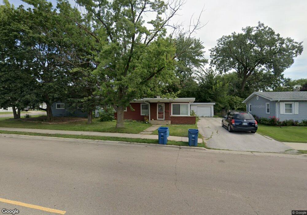
1017 High St Aurora, IL 60505
Pigeon Hill NeighborhoodEstimated Value: $234,345 - $306,000
3
Beds
2
Baths
1,057
Sq Ft
$263/Sq Ft
Est. Value
About This Home
This home is located at 1017 High St, Aurora, IL 60505 and is currently estimated at $278,086, approximately $263 per square foot. 1017 High St is a home located in Kane County with nearby schools including Nicholas A Hermes Elementary School, Simmons Middle School, and East Aurora High School.
Ownership History
Date
Name
Owned For
Owner Type
Purchase Details
Closed on
Jun 19, 2009
Sold by
Chapas Richard A and Chapas Dorothy M
Bought by
Sandoval Gabriela
Current Estimated Value
Home Financials for this Owner
Home Financials are based on the most recent Mortgage that was taken out on this home.
Original Mortgage
$133,536
Interest Rate
5.15%
Mortgage Type
FHA
Create a Home Valuation Report for This Property
The Home Valuation Report is an in-depth analysis detailing your home's value as well as a comparison with similar homes in the area
Home Values in the Area
Average Home Value in this Area
Purchase History
| Date | Buyer | Sale Price | Title Company |
|---|---|---|---|
| Sandoval Gabriela | $136,000 | Chicago Title Insurance Co |
Source: Public Records
Mortgage History
| Date | Status | Borrower | Loan Amount |
|---|---|---|---|
| Previous Owner | Sandoval Gabriela | $133,536 |
Source: Public Records
Tax History
| Year | Tax Paid | Tax Assessment Tax Assessment Total Assessment is a certain percentage of the fair market value that is determined by local assessors to be the total taxable value of land and additions on the property. | Land | Improvement |
|---|---|---|---|---|
| 2024 | $3,501 | $59,076 | $10,608 | $48,468 |
| 2023 | $3,347 | $52,784 | $9,478 | $43,306 |
| 2022 | $3,203 | $48,161 | $8,648 | $39,513 |
| 2021 | $3,135 | $44,838 | $8,051 | $36,787 |
| 2020 | $2,965 | $41,648 | $7,478 | $34,170 |
| 2019 | $3,318 | $43,660 | $6,929 | $36,731 |
| 2018 | $3,090 | $39,931 | $6,409 | $33,522 |
| 2017 | $2,906 | $35,632 | $5,905 | $29,727 |
| 2016 | $3,457 | $38,853 | $5,955 | $32,898 |
| 2015 | -- | $33,918 | $5,121 | $28,797 |
| 2014 | -- | $31,446 | $4,706 | $26,740 |
| 2013 | -- | $31,649 | $5,290 | $26,359 |
Source: Public Records
Map
Nearby Homes
- 1009 Assell Ave
- 304 Hankes Ave
- 920 Zenner Ave
- 1220 Mitchell Rd
- 773 Aurora Ave
- 953 Sheffer Rd
- 14-18 N Lake St
- 907 Harley Ct
- 611 Pierce St
- 1060 N Farnsworth Ave Unit 1105
- 338 Lakelawn Blvd
- 608 Front St
- 747 Delius St
- 1578 Colleen Ln
- 0000 N Farnsworth Ave
- 479 N Lake St
- 461 Wood St
- 469 N Lake St
- 605 Grove St
- 231-233 Williams St
Your Personal Tour Guide
Ask me questions while you tour the home.