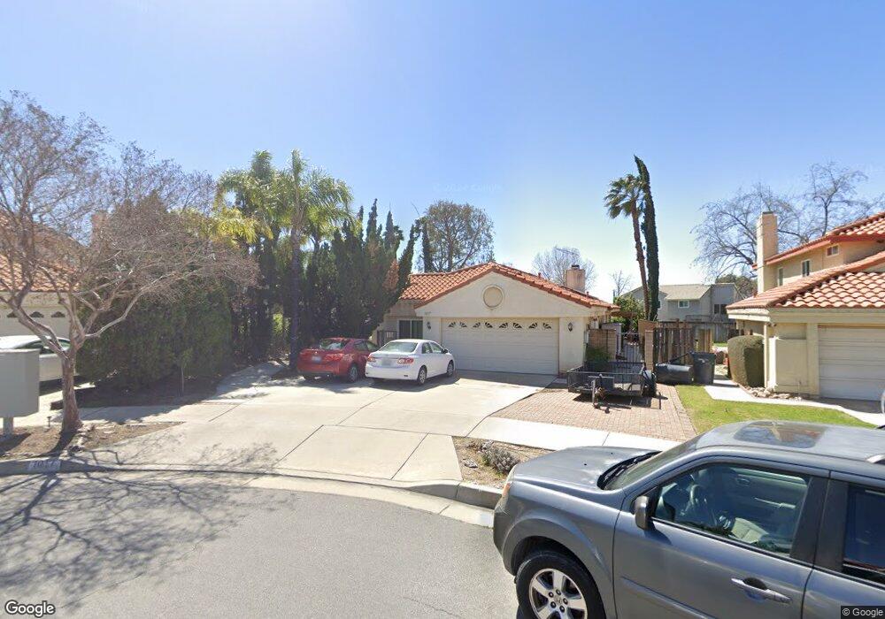
1017 Jasmine St Redlands, CA 92374
North Redlands NeighborhoodEstimated Value: $651,119 - $682,000
3
Beds
2
Baths
1,930
Sq Ft
$347/Sq Ft
Est. Value
About This Home
This home is located at 1017 Jasmine St, Redlands, CA 92374 and is currently estimated at $669,030, approximately $346 per square foot. 1017 Jasmine St is a home located in San Bernardino County with nearby schools including Crafton Elementary School, Clement Middle School, and Redlands East Valley High School.
Ownership History
Date
Name
Owned For
Owner Type
Purchase Details
Closed on
Mar 20, 2008
Sold by
Rippy Scott R and Rippy Jamie L
Bought by
Rippy Scott R and Rippy Jamie L
Current Estimated Value
Purchase Details
Closed on
Sep 1, 2000
Sold by
Sandoval Bernardo R and Sandoval Celia R
Bought by
Rippy Scott R and Rippy Jamie L
Home Financials for this Owner
Home Financials are based on the most recent Mortgage that was taken out on this home.
Original Mortgage
$170,050
Interest Rate
7.89%
Create a Home Valuation Report for This Property
The Home Valuation Report is an in-depth analysis detailing your home's value as well as a comparison with similar homes in the area
Home Values in the Area
Average Home Value in this Area
Purchase History
| Date | Buyer | Sale Price | Title Company |
|---|---|---|---|
| Rippy Scott R | -- | None Available | |
| Rippy Scott R | $179,000 | Northern Counties Title |
Source: Public Records
Mortgage History
| Date | Status | Borrower | Loan Amount |
|---|---|---|---|
| Previous Owner | Rippy Scott R | $170,050 |
Source: Public Records
Tax History
| Year | Tax Paid | Tax Assessment Tax Assessment Total Assessment is a certain percentage of the fair market value that is determined by local assessors to be the total taxable value of land and additions on the property. | Land | Improvement |
|---|---|---|---|---|
| 2025 | $3,509 | $287,646 | $67,434 | $220,212 |
| 2024 | $3,276 | $282,006 | $66,112 | $215,894 |
| 2023 | $3,271 | $276,477 | $64,816 | $211,661 |
| 2022 | $3,222 | $271,056 | $63,545 | $207,511 |
| 2021 | $3,279 | $265,741 | $62,299 | $203,442 |
| 2020 | $3,229 | $263,016 | $61,660 | $201,356 |
| 2019 | $3,138 | $257,859 | $60,451 | $197,408 |
| 2018 | $3,058 | $252,803 | $59,266 | $193,537 |
| 2017 | $3,031 | $247,846 | $58,104 | $189,742 |
| 2016 | $2,995 | $242,987 | $56,965 | $186,022 |
| 2015 | $2,972 | $239,337 | $56,109 | $183,228 |
| 2014 | $2,917 | $234,649 | $55,010 | $179,639 |
Source: Public Records
Map
Nearby Homes
- 927 Knightsbridge Ln
- 1721 E Colton Ave Unit 33
- 1721 E Colton Ave Unit 115
- 0 E Colton Ave
- 626 N Dearborn St Unit 150
- 626 N Dearborn St Unit 55
- 626 N Dearborn St Unit 7
- 626 N Dearborn St
- 626 N Dearborn St Unit 61
- 1260 Via Barcelona
- 1720 Kingston Cir
- 917 Renee St
- 936 Judson St
- 1415 Stillman Ave
- 1580 Lisa Ln
- 1575 Christopher Ln
- 1326 Campus Ave
- 450 Judson St Unit 94
- 1322 Campus Ave
- 1592 Christopher Ln
- 1021 Jasmine St
- 1014 Jasmine St
- 931 Knightsbridge Ln
- 938 N Dearborn St
- 934 N Dearborn St
- 935 Knightsbridge Ln
- 942 N Dearborn St
- 1025 Jasmine St
- 930 N Dearborn St
- 1000 N Dearborn St
- 1018 Jasmine St
- 939 Knightsbridge Ln
- 1029 Jasmine St
- 1022 Jasmine St
- 926 N Dearborn St
- 1014 N Dearborn St
- 1026 Jasmine St
- 943 Knightsbridge Ln
- 923 Knightsbridge Ln
- 1033 Jasmine St
Your Personal Tour Guide
Ask me questions while you tour the home.