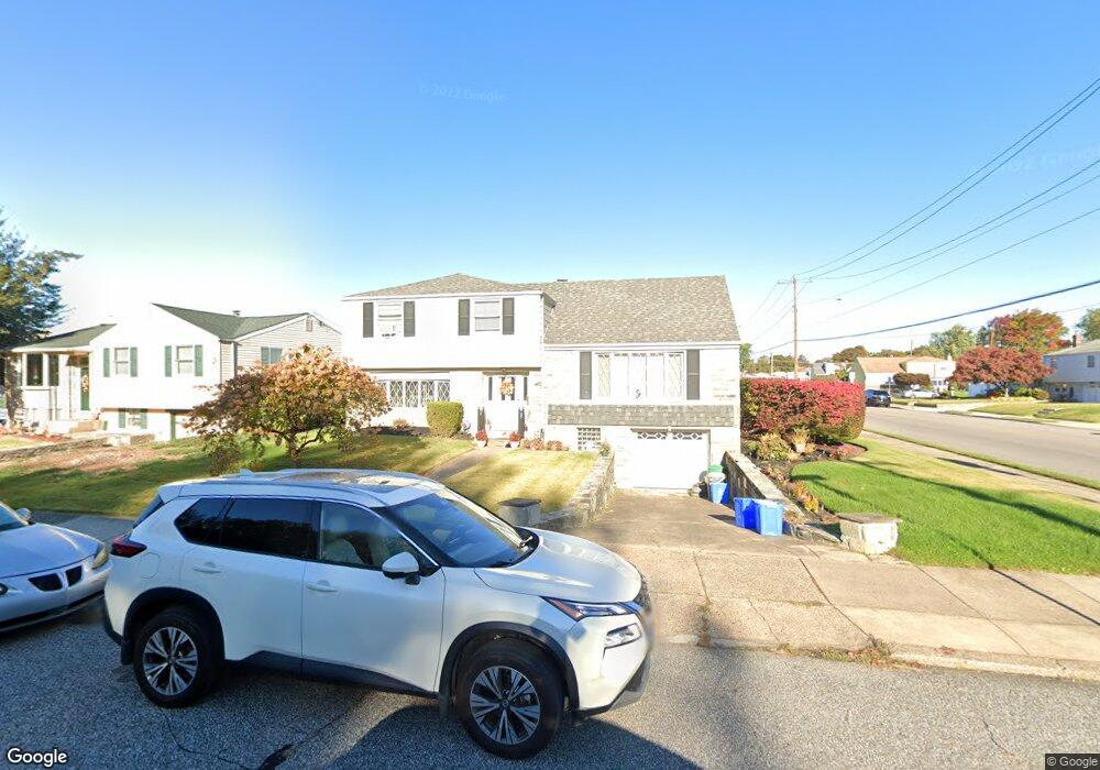
1017 Larkspur St Philadelphia, PA 19116
Somerton NeighborhoodEstimated Value: $402,382 - $551,000
--
Bed
--
Bath
1,992
Sq Ft
$238/Sq Ft
Est. Value
About This Home
This home is located at 1017 Larkspur St, Philadelphia, PA 19116 and is currently estimated at $474,096, approximately $238 per square foot. 1017 Larkspur St is a home located in Philadelphia County with nearby schools including Loesche William H School, CCA Baldi Middle School, and George Washington High School.
Ownership History
Date
Name
Owned For
Owner Type
Purchase Details
Closed on
Aug 19, 2024
Sold by
Kozay Mary L and Kozay Donna Marie
Bought by
Kozay Mary L and Kozay Donna Marie
Current Estimated Value
Purchase Details
Closed on
Dec 16, 2014
Sold by
Kozay Mary L
Bought by
Kozay Mary L and Kozay Donna Marie
Purchase Details
Closed on
Feb 8, 1966
Bought by
Nicholas Kozay and Nicholas Mary L
Create a Home Valuation Report for This Property
The Home Valuation Report is an in-depth analysis detailing your home's value as well as a comparison with similar homes in the area
Home Values in the Area
Average Home Value in this Area
Purchase History
| Date | Buyer | Sale Price | Title Company |
|---|---|---|---|
| Kozay Mary L | -- | None Listed On Document | |
| Kozay Mary L | -- | None Available | |
| Nicholas Kozay | -- | -- |
Source: Public Records
Tax History Compared to Growth
Tax History
| Year | Tax Paid | Tax Assessment Tax Assessment Total Assessment is a certain percentage of the fair market value that is determined by local assessors to be the total taxable value of land and additions on the property. | Land | Improvement |
|---|---|---|---|---|
| 2025 | $4,818 | $418,600 | $83,720 | $334,880 |
| 2024 | $4,818 | $418,600 | $83,720 | $334,880 |
| 2023 | $4,818 | $344,200 | $68,840 | $275,360 |
| 2022 | $3,515 | $299,200 | $68,840 | $230,360 |
| 2021 | $4,145 | $0 | $0 | $0 |
| 2020 | $4,145 | $0 | $0 | $0 |
| 2019 | $3,967 | $0 | $0 | $0 |
| 2018 | $3,799 | $0 | $0 | $0 |
| 2017 | $3,799 | $0 | $0 | $0 |
| 2016 | $3,379 | $0 | $0 | $0 |
| 2015 | -- | $0 | $0 | $0 |
| 2014 | -- | $271,400 | $122,492 | $148,908 |
| 2012 | -- | $35,712 | $9,235 | $26,477 |
Source: Public Records
Map
Nearby Homes
- 825 Delray St
- 818 Burgess St
- 813 Piermont St
- 807 Larkspur St
- 11003 Stevens Rd
- 808 Densmore Rd
- 1104 Welton St
- 831 Lawler St
- 859 Selmer Rd
- 11933 Stevens Rd
- 1724 Nathaniel Dr
- 509 Larkspur St
- 10236 Selmer Terrace
- 770 Selmer Rd
- 10752 Jeanes St
- 1829 Tomlinson Rd
- 11022 Ferndale St
- 10236 Jeanes St
- 11243 Jeanes Place
- 11715 Jeanes St
- 1015 Larkspur St
- 1010 Rennard St
- 1013 Larkspur St
- 1008 Rennard St
- 1013 Rennard St
- 1011 Larkspur St
- 1011 Rennard St
- 1024 Larkspur St
- 1022 Larkspur St
- 1009 Rennard St
- 1009 Larkspur St
- 1006 Rennard St
- 11601 Stevens Rd
- 1020 Larkspur St
- 11602 Stevens Rd
- 11603 Barlow St
- 1007 Larkspur St
- 11603 Stevens Rd
- 1018 Larkspur St
- 1004 Rennard St