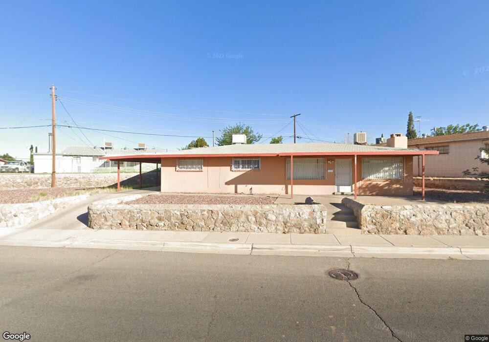
1017 Lomaland Dr El Paso, TX 79907
Mesa Vista NeighborhoodEstimated Value: $172,000 - $191,000
3
Beds
1
Bath
1,537
Sq Ft
$117/Sq Ft
Est. Value
About This Home
This home is located at 1017 Lomaland Dr, El Paso, TX 79907 and is currently estimated at $179,480, approximately $116 per square foot. 1017 Lomaland Dr is a home located in El Paso County with nearby schools including Loma Terrace Elementary School, Bel Air Middle, and Bel Air High School.
Ownership History
Date
Name
Owned For
Owner Type
Purchase Details
Closed on
Dec 1, 2008
Sold by
Dubeansky Anthony S and Dubeansky Diane E
Bought by
Aguirre Maria Candelaria and Ontiveros Sonia
Current Estimated Value
Home Financials for this Owner
Home Financials are based on the most recent Mortgage that was taken out on this home.
Original Mortgage
$70,000
Outstanding Balance
$45,935
Interest Rate
5.99%
Mortgage Type
Purchase Money Mortgage
Estimated Equity
$133,545
Create a Home Valuation Report for This Property
The Home Valuation Report is an in-depth analysis detailing your home's value as well as a comparison with similar homes in the area
Home Values in the Area
Average Home Value in this Area
Purchase History
| Date | Buyer | Sale Price | Title Company |
|---|---|---|---|
| Aguirre Maria Candelaria | -- | None Available |
Source: Public Records
Mortgage History
| Date | Status | Borrower | Loan Amount |
|---|---|---|---|
| Open | Aguirre Maria Candelaria | $70,000 |
Source: Public Records
Tax History Compared to Growth
Tax History
| Year | Tax Paid | Tax Assessment Tax Assessment Total Assessment is a certain percentage of the fair market value that is determined by local assessors to be the total taxable value of land and additions on the property. | Land | Improvement |
|---|---|---|---|---|
| 2025 | $1,718 | $159,503 | -- | -- |
| 2024 | $1,718 | $145,003 | -- | -- |
| 2023 | $1,632 | $131,821 | $0 | $0 |
| 2022 | $3,721 | $119,837 | $0 | $0 |
| 2021 | $3,541 | $108,943 | $14,039 | $94,904 |
| 2020 | $3,204 | $101,443 | $14,039 | $87,404 |
| 2018 | $3,129 | $100,631 | $14,039 | $86,592 |
| 2017 | $2,832 | $92,635 | $14,039 | $78,596 |
| 2016 | $2,832 | $92,635 | $14,039 | $78,596 |
| 2015 | $2,701 | $92,635 | $14,039 | $78,596 |
| 2014 | $2,701 | $94,389 | $14,039 | $80,350 |
Source: Public Records
Map
Nearby Homes
- 1004 Atwood Dr
- 8241 Williamette Ave
- 956 Duskin Dr
- 1121 Stanley St
- 8341 Loma Terrace Rd
- TBD Burnham Dr
- 8181 Staghorn Dr
- TBD Yermoland Dr
- 8004 Gilbert Dr
- 7937 San Paulo Dr
- 810 Silvestre Rd
- 7975 Esther Rd
- 8280 N Loop Dr
- 859 Destello Rd
- 7928 Hermosillo Dr
- 902 Destello Rd
- 491 Borrett St
- 525 Lafayette Dr
- 8350 Lynn Haven Ave
- 837 Destello Rd
- 1021 Lomaland Dr
- 1020 Atwood Dr
- 1025 Lomaland Dr
- 1024 Atwood Dr
- 1012 Atwood Dr
- 1029 Lomaland Dr
- 1029 Lomaland Dr Unit 1
- 1028 Atwood Dr
- 8128 Rolland Ct
- 8127 Newland Ct
- 1008 Atwood Dr
- 1032 Atwood Dr
- 8124 Rolland Ct
- 1031 Atwood Dr
- 8123 Newland Ct
- 8142 Sandland Dr
- 1017 Wyatt Dr
- 1036 Atwood Dr
- 1021 Wyatt Dr
- 1013 Wyatt Dr