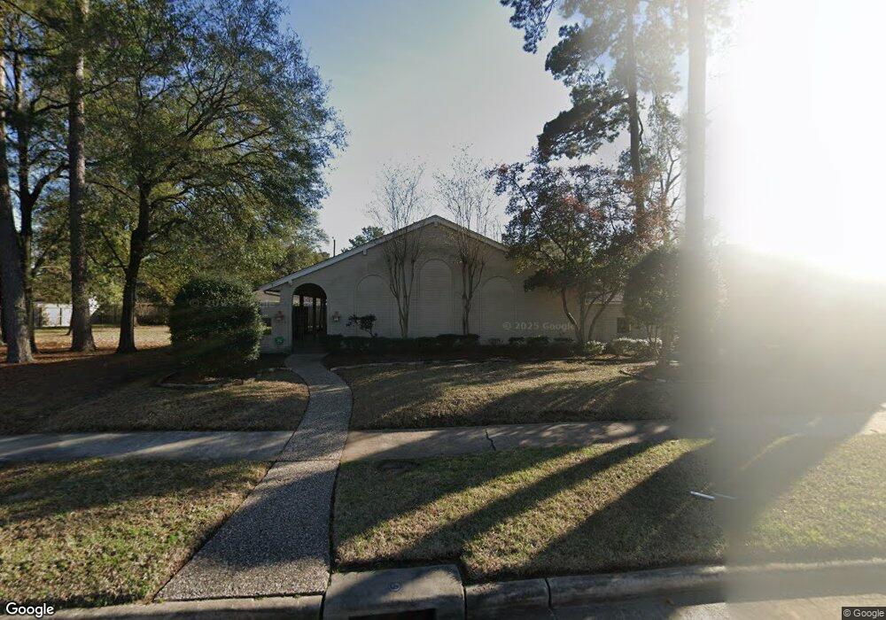
1017 Martin St Houston, TX 77018
Oak Forest-Garden Oaks NeighborhoodEstimated Value: $770,000 - $839,000
4
Beds
3
Baths
2,724
Sq Ft
$295/Sq Ft
Est. Value
About This Home
This home is located at 1017 Martin St, Houston, TX 77018 and is currently estimated at $802,377, approximately $294 per square foot. 1017 Martin St is a home located in Harris County with nearby schools including Durham Elementary School, Frank Black Middle School, and Waltrip High School.
Ownership History
Date
Name
Owned For
Owner Type
Purchase Details
Closed on
Nov 10, 2003
Sold by
Harvell James B and Harvell Brenda P
Bought by
Spanos Joseph G and Spanos Christine D
Current Estimated Value
Home Financials for this Owner
Home Financials are based on the most recent Mortgage that was taken out on this home.
Original Mortgage
$194,000
Interest Rate
5.93%
Mortgage Type
Purchase Money Mortgage
Purchase Details
Closed on
Aug 9, 1999
Sold by
Newton Reagan H and Newton Deborah A
Bought by
Harvell James B and Harvell Brenda P
Home Financials for this Owner
Home Financials are based on the most recent Mortgage that was taken out on this home.
Original Mortgage
$185,000
Interest Rate
7.71%
Create a Home Valuation Report for This Property
The Home Valuation Report is an in-depth analysis detailing your home's value as well as a comparison with similar homes in the area
Home Values in the Area
Average Home Value in this Area
Purchase History
| Date | Buyer | Sale Price | Title Company |
|---|---|---|---|
| Spanos Joseph G | -- | American Title Co | |
| Harvell James B | -- | Chicago Title |
Source: Public Records
Mortgage History
| Date | Status | Borrower | Loan Amount |
|---|---|---|---|
| Closed | Spanos Joseph G | $194,000 | |
| Previous Owner | Harvell James B | $185,000 | |
| Closed | Harvell James B | $20,695 | |
| Closed | Spanos Joseph G | $74,850 |
Source: Public Records
Tax History Compared to Growth
Tax History
| Year | Tax Paid | Tax Assessment Tax Assessment Total Assessment is a certain percentage of the fair market value that is determined by local assessors to be the total taxable value of land and additions on the property. | Land | Improvement |
|---|---|---|---|---|
| 2025 | $11,691 | $761,747 | $348,500 | $413,247 |
| 2024 | $11,691 | $758,267 | $348,500 | $409,767 |
| 2023 | $11,691 | $725,000 | $313,650 | $411,350 |
| 2022 | $13,630 | $619,000 | $313,650 | $305,350 |
| 2021 | $13,489 | $584,600 | $313,650 | $270,950 |
| 2020 | $12,741 | $605,000 | $261,375 | $343,625 |
| 2019 | $12,104 | $538,000 | $261,375 | $276,625 |
| 2018 | $8,545 | $434,839 | $261,375 | $173,464 |
| 2017 | $12,623 | $553,000 | $261,375 | $291,625 |
| 2016 | $11,475 | $560,000 | $261,375 | $298,625 |
| 2015 | $7,574 | $500,000 | $261,375 | $238,625 |
| 2014 | $7,574 | $375,068 | $217,813 | $157,255 |
Source: Public Records
Map
Nearby Homes
- 4762 Martin St
- 4742 Martin St
- 1029 Martin St
- 1012 Candlelight Ln
- 1037 Cheshire Ln
- 991 Curtin St
- 4854 Brinkman St
- 913 Lehman St
- 910 1/2 Oak St
- 911 Lehman St
- 1067 Curtin St
- 808 Woodcrest Dr Unit A
- 950 Del Norte St
- 810 Martin St
- 4510 Curtin Park Ct
- 807 Martin St Unit D
- 807 Martin St Unit C
- 4710 Brian Haven Dr
- 927 S Lacey Garden Loop
- 817 Thornton Rd Unit G
- 1019 Martin St
- 1013 Martin St
- 1016 Cheshire Ln
- 1014 Cheshire Ln
- 1021 Martin St
- 1011 A Martin St
- 1018 Cheshire Ln
- 1012 Cheshire Ln
- 1018 Martin St
- 1016 Martin St
- 1020 Cheshire Ln
- 1023 Martin St
- 1011 Martin St
- 1014 Martin St
- 1010 Cheshire Ln
- 1022 Martin St
- 4744 Martin St
- 4752 Martin St
- 1015 Martin St
- 1022 Cheshire Ln