1017 N 4th Ave Big Rapids, MI 49307
Estimated Value: $115,098 - $146,000
2
Beds
1
Bath
952
Sq Ft
$138/Sq Ft
Est. Value
About This Home
This home is located at 1017 N 4th Ave, Big Rapids, MI 49307 and is currently estimated at $131,275, approximately $137 per square foot. 1017 N 4th Ave is a home located in Mecosta County with nearby schools including Big Rapids High School, Crossroads Charter Academy Elementary School, and Crossroads Charter Academy Middle/High School.
Ownership History
Date
Name
Owned For
Owner Type
Purchase Details
Closed on
Sep 8, 2006
Sold by
Moriarty Daniel T
Bought by
Moriarty Janice Y
Current Estimated Value
Home Financials for this Owner
Home Financials are based on the most recent Mortgage that was taken out on this home.
Original Mortgage
$30,000
Interest Rate
6.77%
Mortgage Type
Purchase Money Mortgage
Create a Home Valuation Report for This Property
The Home Valuation Report is an in-depth analysis detailing your home's value as well as a comparison with similar homes in the area
Home Values in the Area
Average Home Value in this Area
Purchase History
| Date | Buyer | Sale Price | Title Company |
|---|---|---|---|
| Moriarty Janice Y | -- | None Available |
Source: Public Records
Mortgage History
| Date | Status | Borrower | Loan Amount |
|---|---|---|---|
| Closed | Moriarty Janice Y | $30,000 |
Source: Public Records
Tax History
| Year | Tax Paid | Tax Assessment Tax Assessment Total Assessment is a certain percentage of the fair market value that is determined by local assessors to be the total taxable value of land and additions on the property. | Land | Improvement |
|---|---|---|---|---|
| 2025 | $1,058 | $46,500 | $0 | $0 |
| 2024 | -- | $44,200 | $0 | $0 |
| 2023 | -- | $39,300 | $0 | $0 |
| 2022 | $1,041 | $33,000 | $0 | $0 |
Source: Public Records
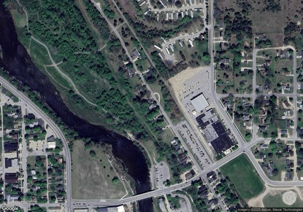
Map
Nearby Homes
- 226 Baldwin St
- 1405 Bjornson St
- 818 N State St
- 722 Tioga Park Dr Unit 722
- 734 Unit 734 Tioga Park
- 20600 Rolling Hills Ln
- 515 W Bridge St
- 919 Bjornson St
- 709 Tioga Park Dr
- 717 Tioga Park Dr Unit 717
- 713 Tioga Park Dr
- 118 E Grand Traverse St
- 521 N Michigan Ave
- 513 Rose Ave
- 1006 Mechanic St
- 16688 Canyon Cove
- 16659 Canyon Cove Unit 13
- 20770 Ross Pkwy
- 16289 Birch Top Ridge Unit 40
- 16327 Birch Top Ridge
- 1038 N 4th Ave
- 1056 N 4th Ave
- 1005 N 4th Ave
- 1007 N 4th Ave
- 1015 N 4th Ave
- 1021 N 4th Ave
- 1033 N 4th Ave
- 1041 N 4th Ave
- 00 Trestle Bend Dr
- 17964 Trestle Bend Dr
- 0 Trestle Bend Dr
- 177636 Trestle Bend Dr
- 1220 N State St
- 1204 N State St
- 1219 N State St
- 1205 N State St
- 1237 N State St
- 1416 N State St
- 1418 N State St
- 701 N State St