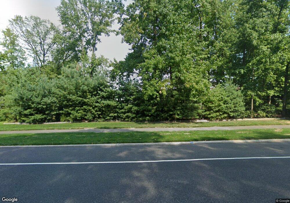
1017 Riverton Rd Moorestown, NJ 08057
Estimated Value: $959,000 - $1,031,192
4
Beds
3
Baths
3,173
Sq Ft
$313/Sq Ft
Est. Value
About This Home
This home is located at 1017 Riverton Rd, Moorestown, NJ 08057 and is currently estimated at $994,731, approximately $313 per square foot. 1017 Riverton Rd is a home located in Burlington County with nearby schools including George C. Baker Elementary School, Moorestown Upper Elementary School, and William Allen Middle School.
Ownership History
Date
Name
Owned For
Owner Type
Purchase Details
Closed on
Jul 23, 2014
Sold by
Curran Keith Patrick and Caminito Salvatore
Bought by
Caminito Salvatore and Caminito Keith Patrick
Current Estimated Value
Home Financials for this Owner
Home Financials are based on the most recent Mortgage that was taken out on this home.
Original Mortgage
$487,500
Outstanding Balance
$147,595
Interest Rate
3.2%
Mortgage Type
New Conventional
Estimated Equity
$847,136
Purchase Details
Closed on
Aug 1, 2011
Sold by
Falese Robert D and Falese Mary E
Bought by
Caminito Salvatore and Curran Keith Patrick
Home Financials for this Owner
Home Financials are based on the most recent Mortgage that was taken out on this home.
Original Mortgage
$416,000
Interest Rate
4.33%
Mortgage Type
New Conventional
Purchase Details
Closed on
Dec 11, 2003
Sold by
Falese Robert D and Falese Mary E
Bought by
Falese Mary E
Create a Home Valuation Report for This Property
The Home Valuation Report is an in-depth analysis detailing your home's value as well as a comparison with similar homes in the area
Home Values in the Area
Average Home Value in this Area
Purchase History
| Date | Buyer | Sale Price | Title Company |
|---|---|---|---|
| Caminito Salvatore | -- | Title Services | |
| Caminito Salvatore | $520,000 | None Available | |
| Falese Mary E | -- | -- |
Source: Public Records
Mortgage History
| Date | Status | Borrower | Loan Amount |
|---|---|---|---|
| Open | Caminito Salvatore | $487,500 | |
| Previous Owner | Caminito Salvatore | $416,000 |
Source: Public Records
Tax History Compared to Growth
Tax History
| Year | Tax Paid | Tax Assessment Tax Assessment Total Assessment is a certain percentage of the fair market value that is determined by local assessors to be the total taxable value of land and additions on the property. | Land | Improvement |
|---|---|---|---|---|
| 2025 | $16,396 | $628,500 | $155,900 | $472,600 |
| 2024 | $16,396 | $596,000 | $155,900 | $472,600 |
| 2023 | $16,015 | $628,500 | $155,900 | $472,600 |
| 2022 | $16,015 | $596,000 | $0 | $0 |
| 2021 | $16,015 | $596,000 | $0 | $0 |
| 2020 | $15,251 | $571,200 | $0 | $0 |
| 2019 | $13,002 | $495,700 | $155,900 | $339,800 |
| 2018 | $12,650 | $495,700 | $155,900 | $339,800 |
| 2017 | $12,759 | $495,700 | $155,900 | $339,800 |
| 2016 | $12,715 | $495,700 | $155,900 | $339,800 |
| 2015 | $12,561 | $495,700 | $155,900 | $339,800 |
| 2014 | $11,927 | $495,700 | $155,900 | $339,800 |
Source: Public Records
Map
Nearby Homes
- 2801 Riverton Rd
- 2611 Barton Ct
- 2807 Hunterdon Dr
- 2716 Branch Pike
- 343 Tom Brown Rd
- 310 Devon Rd
- 62 Sussex Dr
- 347 Tom Brown Rd
- 142 Fox Chase Dr
- 213 Wayne Dr
- 2408 New Albany Rd
- 116 Wayne Dr
- 322 Boxwood Ln
- 502 Pomona Rd
- 228 Aqua Ln
- 2209 New Albany Rd
- 543 Bethel Ave
- 863 Golf View Rd
- 2204 New Albany Rd
- 124 Coopers Kill Rd
- 1021 Riverton Rd
- 1013 Riverton Rd
- 291 Tom Brown Rd
- 2 Cardinal Dr
- 1 Cardinal Dr
- 821 New Albany Rd
- 916 Fernwood Rd
- 805 New Albany Rd
- 6 Cardinal Dr
- 1008 Riverton Rd
- 920 Fernwood Rd
- 295 Tom Brown Rd
- 1029 Riverton Rd
- 809 New Albany Rd
- 924 Fernwood Rd
- 912 Fernwood Rd
- 813 New Albany Rd
- 10 Cardinal Dr
- 928 Fernwood Rd
- 5 Cardinal Dr
