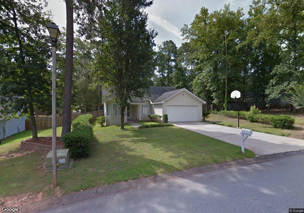
1017 Salford Place Unit 1 Grovetown, GA 30813
Estimated Value: $228,000 - $245,000
3
Beds
2
Baths
1,306
Sq Ft
$182/Sq Ft
Est. Value
About This Home
This home is located at 1017 Salford Place Unit 1, Grovetown, GA 30813 and is currently estimated at $238,159, approximately $182 per square foot. 1017 Salford Place Unit 1 is a home located in Columbia County with nearby schools including Grovetown Elementary School, Grovetown Middle School, and Grovetown High School.
Ownership History
Date
Name
Owned For
Owner Type
Purchase Details
Closed on
Feb 28, 2001
Sold by
Keaton Debbie B
Bought by
Spann Stacy T
Current Estimated Value
Home Financials for this Owner
Home Financials are based on the most recent Mortgage that was taken out on this home.
Original Mortgage
$95,247
Outstanding Balance
$34,508
Interest Rate
7.12%
Mortgage Type
FHA
Estimated Equity
$203,651
Create a Home Valuation Report for This Property
The Home Valuation Report is an in-depth analysis detailing your home's value as well as a comparison with similar homes in the area
Home Values in the Area
Average Home Value in this Area
Purchase History
| Date | Buyer | Sale Price | Title Company |
|---|---|---|---|
| Spann Stacy T | $96,000 | -- |
Source: Public Records
Mortgage History
| Date | Status | Borrower | Loan Amount |
|---|---|---|---|
| Open | Spann Stacy T | $95,247 |
Source: Public Records
Tax History Compared to Growth
Tax History
| Year | Tax Paid | Tax Assessment Tax Assessment Total Assessment is a certain percentage of the fair market value that is determined by local assessors to be the total taxable value of land and additions on the property. | Land | Improvement |
|---|---|---|---|---|
| 2025 | $2,489 | $88,908 | $18,204 | $70,704 |
| 2024 | $2,558 | $86,711 | $17,804 | $68,907 |
| 2023 | $2,558 | $80,962 | $17,504 | $63,458 |
| 2022 | $2,138 | $69,414 | $14,704 | $54,710 |
| 2021 | $2,021 | $64,276 | $14,104 | $50,172 |
| 2020 | $1,750 | $54,905 | $11,604 | $43,301 |
| 2019 | $1,705 | $53,024 | $11,204 | $41,820 |
| 2018 | $1,708 | $52,300 | $10,704 | $41,596 |
| 2017 | $1,585 | $50,114 | $10,604 | $39,510 |
| 2016 | $1,525 | $49,563 | $10,780 | $38,783 |
| 2015 | $1,482 | $47,986 | $10,280 | $37,706 |
| 2014 | $1,444 | $46,326 | $9,280 | $37,046 |
Source: Public Records
Map
Nearby Homes
- 4907 Selkirk Way
- 1100 Durban Dr
- 4917 Cavan Place
- 0 E Robinson Ave
- 132 Summerfield Cir
- 636 Butler Springs Cir
- 100 Buck Ave
- 201 Williams St
- 125 Redford Dr
- 824 Shirez Dr
- 427 Roebuck Pass
- 406 Williams St
- 106 Walton Dr
- 607 Beretta Dr
- 118 Bennett St
- 106 Bennett St
- 104 Bennett St
- 102 Walton Dr
- 116 Bennett St
- 100 Walton Dr
- 1017 Salford Place
- 1025 Durban Dr
- 1015 Salford Place
- 1027 Durban Dr
- 4906 Selkirk Way
- 1021 Durban Dr
- 4902 Selkirk Way
- 4904 Selkirk Way
- 1012 Salford Place
- 0 Selkirk Way
- 1013 Salford Place
- 4905 Selkirk Way
- 1024 Durban Dr
- 1019 Durban Dr
- 1002 Jarrow Place
- 1022 Durban Dr
- 4909 Selkirk Way
- 4900 Selkirk Way
- 4903 Selkirk Way
- 1026 Durban Dr