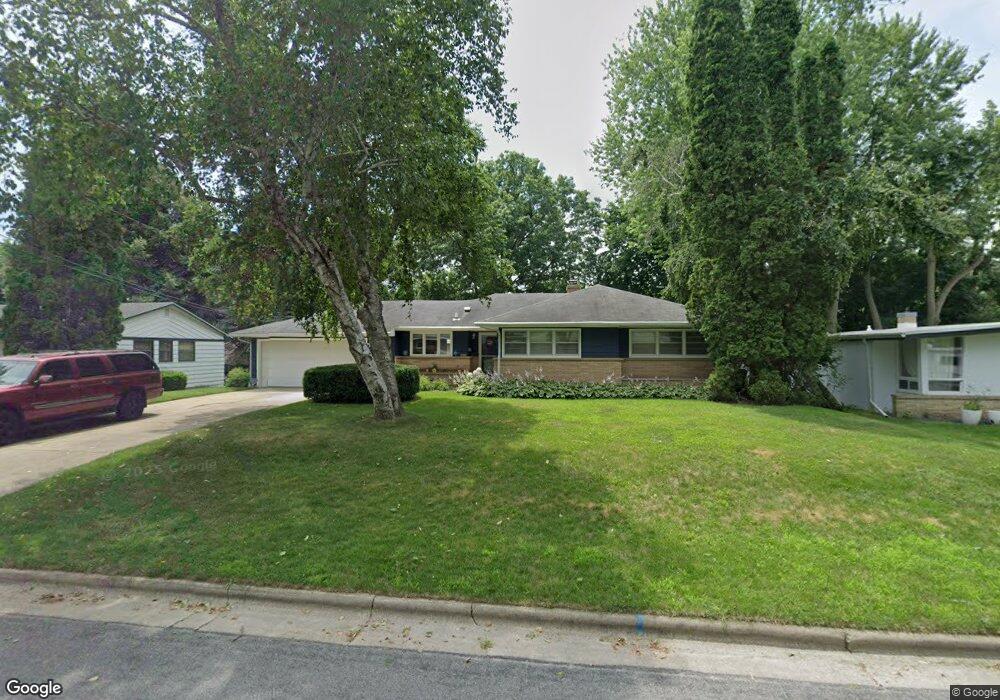
1017 Shasta Dr Madison, WI 53704
Mendota Hills NeighborhoodEstimated Value: $377,000 - $560,000
3
Beds
2
Baths
1,517
Sq Ft
$312/Sq Ft
Est. Value
About This Home
This home is located at 1017 Shasta Dr, Madison, WI 53704 and is currently estimated at $473,397, approximately $312 per square foot. 1017 Shasta Dr is a home located in Dane County with nearby schools including Mendota Elementary School, Black Hawk Middle School, and East High School.
Ownership History
Date
Name
Owned For
Owner Type
Purchase Details
Closed on
May 30, 2013
Sold by
Knox Florence M
Bought by
Papierniak Kim G
Current Estimated Value
Home Financials for this Owner
Home Financials are based on the most recent Mortgage that was taken out on this home.
Original Mortgage
$125,600
Outstanding Balance
$88,905
Interest Rate
3.38%
Mortgage Type
New Conventional
Estimated Equity
$384,492
Create a Home Valuation Report for This Property
The Home Valuation Report is an in-depth analysis detailing your home's value as well as a comparison with similar homes in the area
Home Values in the Area
Average Home Value in this Area
Purchase History
| Date | Buyer | Sale Price | Title Company |
|---|---|---|---|
| Papierniak Kim G | $157,000 | None Available |
Source: Public Records
Mortgage History
| Date | Status | Borrower | Loan Amount |
|---|---|---|---|
| Open | Papierniak Kim G | $125,600 |
Source: Public Records
Tax History Compared to Growth
Tax History
| Year | Tax Paid | Tax Assessment Tax Assessment Total Assessment is a certain percentage of the fair market value that is determined by local assessors to be the total taxable value of land and additions on the property. | Land | Improvement |
|---|---|---|---|---|
| 2024 | $11,730 | $351,200 | $89,100 | $262,100 |
| 2023 | $5,420 | $319,300 | $81,000 | $238,300 |
| 2021 | $4,629 | $233,400 | $59,200 | $174,200 |
| 2020 | $4,868 | $228,800 | $58,000 | $170,800 |
| 2019 | $4,762 | $224,300 | $56,900 | $167,400 |
| 2018 | $4,412 | $207,700 | $56,900 | $150,800 |
| 2017 | $4,187 | $188,800 | $51,700 | $137,100 |
| 2016 | $4,121 | $181,500 | $51,700 | $129,800 |
| 2015 | $4,020 | $174,500 | $49,700 | $124,800 |
| 2014 | $4,018 | $174,500 | $49,700 | $124,800 |
| 2013 | $4,394 | $175,300 | $48,700 | $126,600 |
Source: Public Records
Map
Nearby Homes
- 3625 Cascade Rd
- 1001 Woodward Dr
- 810 Woodward Dr
- 1338 Forster Dr
- 609 Delladonna Way
- 701 Woodward Dr
- 521 Muir Dr
- 26 Northridge Terrace
- 18 Northridge Terrace
- 424 East Bluff
- 335 East Bluff
- 4429 Jay Dr
- 1205 Nevada Rd
- 4613 School Rd
- 1009 Northland Dr
- 929 Northland Dr
- 917 Monica Ln
- 4528 White Aspen Rd
- 2902 Dryden Dr
- 1642 Delaware Blvd
- 1021 Shasta Dr
- 3630 Alpine Rd
- 3634 Alpine Rd
- 3629 Cascade Rd
- 3626 Alpine Rd
- 3638 Alpine Rd
- 1018 Shasta Dr
- 1022 Shasta Dr
- 3621 Cascade Rd
- 1014 Shasta Dr
- 1026 Shasta Dr
- 3622 Alpine Rd
- 3617 Cascade Rd
- 1010 Shasta Dr
- 1030 Shasta Dr
- 3629 Alpine Rd
- 3621 Alpine Rd
- 1006 Shasta Dr
- 3613 Cascade Rd
- 3633 Alpine Rd