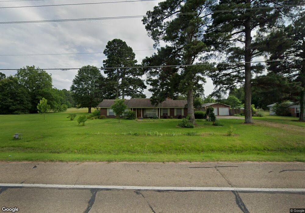
1017 Westside Dr Ashdown, AR 71822
Estimated Value: $136,702 - $269,000
Studio
1
Bath
1,491
Sq Ft
$135/Sq Ft
Est. Value
About This Home
This home is located at 1017 Westside Dr, Ashdown, AR 71822 and is currently estimated at $200,676, approximately $134 per square foot. 1017 Westside Dr is a home located in Little River County with nearby schools including Ashdown Elementary School, L.F. Henderson Interm. School, and Ashdown Junior High School.
Ownership History
Date
Name
Owned For
Owner Type
Purchase Details
Closed on
Oct 9, 2013
Bought by
Johnston Living Trust
Current Estimated Value
Purchase Details
Closed on
Mar 21, 2007
Bought by
Sams Donna Denise
Purchase Details
Closed on
Jan 2, 2007
Bought by
Sams Michael and Sams Donna D
Purchase Details
Closed on
Dec 18, 2001
Bought by
Howard Harvey B and Howard Lenora S
Purchase Details
Closed on
Jun 1, 1999
Bought by
Duncan Glenn L and Duncan Rhonda R
Create a Home Valuation Report for This Property
The Home Valuation Report is an in-depth analysis detailing your home's value as well as a comparison with similar homes in the area
Home Values in the Area
Average Home Value in this Area
Purchase History
| Date | Buyer | Sale Price | Title Company |
|---|---|---|---|
| Johnston Living Trust | $105,000 | -- | |
| Sams Donna Denise | -- | -- | |
| Sams Michael | $80,000 | -- | |
| Howard Harvey B | $65,000 | -- | |
| Duncan Glenn L | -- | -- |
Source: Public Records
Tax History
| Year | Tax Paid | Tax Assessment Tax Assessment Total Assessment is a certain percentage of the fair market value that is determined by local assessors to be the total taxable value of land and additions on the property. | Land | Improvement |
|---|---|---|---|---|
| 2025 | $82 | $22,460 | $1,660 | $20,800 |
| 2024 | $182 | $22,460 | $1,660 | $20,800 |
| 2023 | $257 | $22,460 | $1,660 | $20,800 |
| 2022 | $307 | $22,460 | $1,660 | $20,800 |
| 2021 | $307 | $18,190 | $910 | $17,280 |
| 2020 | $307 | $18,190 | $910 | $17,280 |
| 2019 | $307 | $18,190 | $910 | $17,280 |
| 2018 | $332 | $18,190 | $910 | $17,280 |
| 2017 | $332 | $18,190 | $910 | $17,280 |
| 2016 | $332 | $16,280 | $940 | $15,340 |
| 2015 | $332 | $16,280 | $940 | $15,340 |
| 2014 | $308 | $16,280 | $940 | $15,340 |
Source: Public Records
Map
Nearby Homes
- 1249 S 9th St
- 155 Lr 200
- TBD Lr 183
- 682 U S Highway 71
- 680 U S Highway 71
- 210 E Cowling St
- 1331 Grant St
- 270 Burke St
- TBD Lr 21
- 171 N Dupree St
- 0 Little River 43
- 000 Little River 43
- 510 Guice Ave
- 1609 Buck Wright Rd
- 1151 Rankin St
- 1565 Rankin St
- 1520 Pine Dr
- 1560 Leona Dr
- 1665 Peyton Ave
- 1771 Caddo Cir
Your Personal Tour Guide
Ask me questions while you tour the home.