10170 S Wedington Blacktop Rd Lincoln, AR 72744
Estimated Value: $221,000 - $388,000
4
Beds
2
Baths
1,922
Sq Ft
$155/Sq Ft
Est. Value
About This Home
This home is located at 10170 S Wedington Blacktop Rd, Lincoln, AR 72744 and is currently estimated at $298,232, approximately $155 per square foot. 10170 S Wedington Blacktop Rd is a home located in Washington County with nearby schools including Prairie Grove Elementary School, Prairie Grove Middle School, and Prairie Grove Junior High School.
Ownership History
Date
Name
Owned For
Owner Type
Purchase Details
Closed on
Dec 2, 2019
Sold by
Allen Rodney and Allen Mandy
Bought by
Allen Brady and Allen Alexia
Current Estimated Value
Home Financials for this Owner
Home Financials are based on the most recent Mortgage that was taken out on this home.
Original Mortgage
$139,495
Outstanding Balance
$123,084
Interest Rate
3.75%
Estimated Equity
$175,148
Purchase Details
Closed on
Jun 21, 2004
Sold by
Burns Darren J and Burns Cheryl A
Bought by
Scott Amy Beth
Purchase Details
Closed on
Oct 6, 1993
Bought by
Burns Darren J
Purchase Details
Closed on
Oct 22, 1990
Bought by
Burns Joe and Burns Donna
Create a Home Valuation Report for This Property
The Home Valuation Report is an in-depth analysis detailing your home's value as well as a comparison with similar homes in the area
Home Values in the Area
Average Home Value in this Area
Purchase History
| Date | Buyer | Sale Price | Title Company |
|---|---|---|---|
| Allen Brady | $89,000 | Waco Title Company | |
| Scott Amy Beth | $140,000 | Waco Title Company | |
| Burns Darren J | -- | -- | |
| Burns Joe | $25,000 | -- |
Source: Public Records
Mortgage History
| Date | Status | Borrower | Loan Amount |
|---|---|---|---|
| Open | Allen Brady | $139,495 |
Source: Public Records
Tax History Compared to Growth
Tax History
| Year | Tax Paid | Tax Assessment Tax Assessment Total Assessment is a certain percentage of the fair market value that is determined by local assessors to be the total taxable value of land and additions on the property. | Land | Improvement |
|---|---|---|---|---|
| 2025 | $810 | $40,060 | $13,100 | $26,960 |
| 2024 | $810 | $38,840 | $12,000 | $26,840 |
| 2023 | $865 | $38,840 | $12,000 | $26,840 |
| 2022 | $904 | $25,080 | $6,680 | $18,400 |
| 2021 | $904 | $25,080 | $6,680 | $18,400 |
| 2020 | $904 | $25,080 | $6,680 | $18,400 |
| 2019 | $706 | $20,870 | $5,500 | $15,370 |
| 2018 | $731 | $20,870 | $5,500 | $15,370 |
| 2017 | $671 | $20,870 | $5,500 | $15,370 |
| 2016 | $676 | $20,870 | $5,500 | $15,370 |
| 2015 | $632 | $20,870 | $5,500 | $15,370 |
| 2014 | $588 | $18,150 | $6,250 | $11,900 |
Source: Public Records
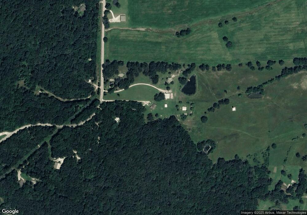
Map
Nearby Homes
- 10397 S Mortensen Rd
- TBD N Mortensen Rd
- 18040 E Holt Rd
- 17691 E Holt Rd
- 18323 Rheas Community Rd
- 11398 N Wedington Blacktop Rd
- TBD N Jackson Hwy Unit E
- TBD N Jackson Hwy Unit SW
- TBD N Jackson Hwy Unit ND
- TBD N Jackson Hwy
- TBD N Jackson Hwy Unit SE
- 208 S Wedington Blacktop Rd
- 10886 S Jackson Hwy
- 508 E Holt Rd
- 16655 W Highway 62
- 3.41 Acres of 11281 S Wedington Blacktop Rd
- 16800 Parks Corner Rd
- 13170 Route 45
- 11384 S Old Cincinnati Rd
- 608 W Holt Rd
- 10228 S Wedington Blacktop Rd
- 10090 S Wedington Blacktop Rd
- 10364 S Wedington Blacktop Rd
- 10095 S Wedington Blacktop Rd
- 10306 S Wedington Blacktop Rd
- 17339 Stonewall Rd
- 10082 Wedington Blacktop Rd
- 10378 S Wedington Blacktop Rd
- 17325 Stonewall Rd
- 10065 N Wedington Blacktop Rd
- 5.07 AC N Wedington Blacktop Rd
- 10551 S Wedington Blacktop Rd
- 10171 N Wedington Blacktop Rd
- 10385 Suttle Switch Rd
- 0 N Wedington Blacktop Rd Unit 1235006
- 0 N Wedington Blacktop Rd Unit 1217831
- 14680 Wedington Blacktop Rd
- 10592 S Wedington Blacktop Rd
- 17433 Stonewall Rd
- 10589 Suttle Switch Rd