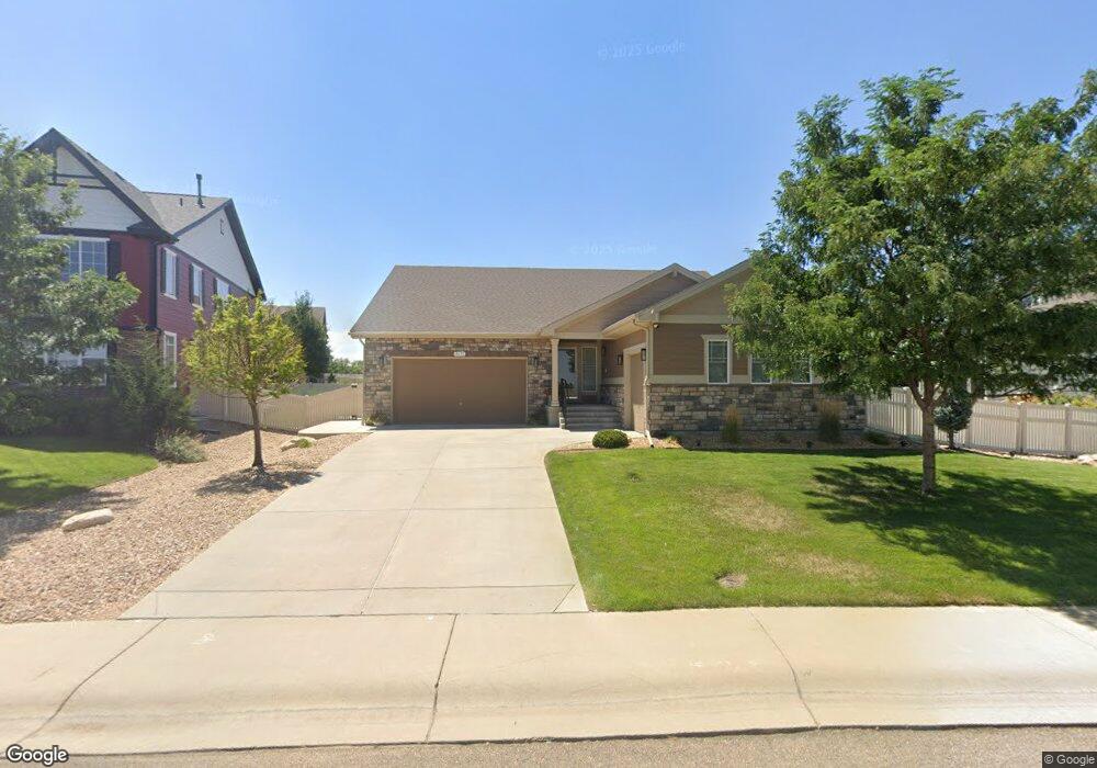
10173 Neighbors Pkwy Firestone, CO 80504
Estimated Value: $646,000 - $703,000
4
Beds
4
Baths
2,124
Sq Ft
$319/Sq Ft
Est. Value
About This Home
This home is located at 10173 Neighbors Pkwy, Firestone, CO 80504 and is currently estimated at $676,800, approximately $318 per square foot. 10173 Neighbors Pkwy is a home with nearby schools including Centennial Elementary School, Coal Ridge Middle School, and Mead High School.
Ownership History
Date
Name
Owned For
Owner Type
Purchase Details
Closed on
Sep 15, 2015
Sold by
Melody Homes Inc
Bought by
Sundberg James A and Sundberg Claudia
Current Estimated Value
Home Financials for this Owner
Home Financials are based on the most recent Mortgage that was taken out on this home.
Original Mortgage
$386,546
Outstanding Balance
$304,433
Interest Rate
3.99%
Mortgage Type
New Conventional
Estimated Equity
$372,367
Create a Home Valuation Report for This Property
The Home Valuation Report is an in-depth analysis detailing your home's value as well as a comparison with similar homes in the area
Home Values in the Area
Average Home Value in this Area
Purchase History
| Date | Buyer | Sale Price | Title Company |
|---|---|---|---|
| Sundberg James A | $454,760 | Heritage Title |
Source: Public Records
Mortgage History
| Date | Status | Borrower | Loan Amount |
|---|---|---|---|
| Open | Sundberg James A | $386,546 |
Source: Public Records
Tax History Compared to Growth
Tax History
| Year | Tax Paid | Tax Assessment Tax Assessment Total Assessment is a certain percentage of the fair market value that is determined by local assessors to be the total taxable value of land and additions on the property. | Land | Improvement |
|---|---|---|---|---|
| 2025 | $7,339 | $43,300 | $7,380 | $35,920 |
| 2024 | $7,339 | $43,300 | $7,380 | $35,920 |
| 2023 | $7,150 | $48,410 | $7,980 | $40,430 |
| 2022 | $5,769 | $35,600 | $5,980 | $29,620 |
| 2021 | $5,804 | $36,620 | $6,150 | $30,470 |
| 2020 | $5,462 | $34,640 | $4,650 | $29,990 |
| 2019 | $5,514 | $34,640 | $4,650 | $29,990 |
| 2018 | $4,925 | $31,770 | $3,740 | $28,030 |
| 2017 | $4,996 | $31,770 | $3,740 | $28,030 |
| 2016 | $4,533 | $29,540 | $3,100 | $26,440 |
| 2015 | $410 | $2,730 | $2,730 | $0 |
| 2014 | $210 | $1,400 | $1,400 | $0 |
Source: Public Records
Map
Nearby Homes
- 5286 Rustic Ave
- 5230 Warrior St
- 4768 Silverleaf Ave
- 10540 Barron Cir
- 10574 Bald Eagle Cir
- 5583 Riverbend Ave
- 5614 Riverbend Ave
- 10597 Bald Eagle Cir Unit 244
- 10529 Bald Eagle Cir Unit 394
- 10529 Bald Eagle Cir
- 10686 Baily St Unit 153
- 4795 Audrey St Unit 260
- 10611 Barron Cir Unit 426
- 10555 Aspen St Unit 198
- 4616 Tilbury Ct
- 5046 Rangeview Ave
- 10684 Aspen St Unit 72
- 10684 Aspen St
- 5822 Shenandoah Ave
- 10414 Cherryvale St
- 10161 Neighbors Pkwy
- 10185 Neighbors Pkwy
- 10150 Briarwood St
- 10138 Briarwood St
- 10172 Briarwood St
- 10149 Neighbors Pkwy
- 10126 Briarwood St
- 10186 Briarwood St
- 10114 Briarwood St
- 10139 Neighbors Pkwy
- 10157 Briarwood St
- 10102 Briarwood St
- 10171 Briarwood St
- 10185 Briarwood St
- 10133 Neighbors Pkwy
- 10194 Bluegrass St
- 10194 Blue Grass St
- 10103 Briarwood St
- 10103 Briarwood St
- 10088 Briarwood St