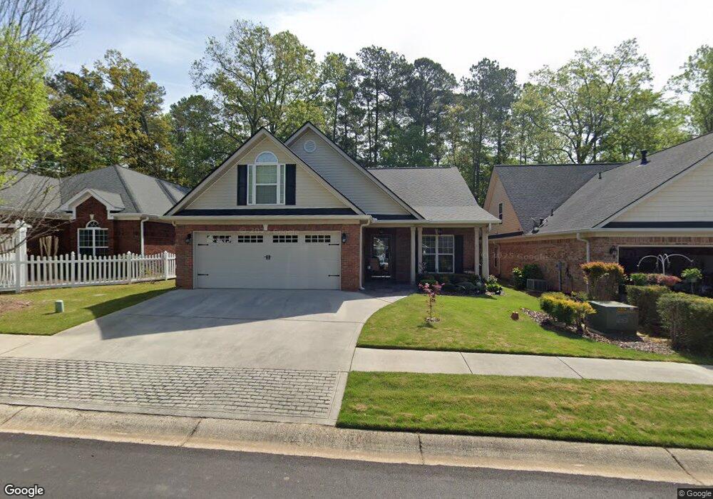
10175 Malcolm Dr Covington, GA 30014
Estimated Value: $336,282 - $410,000
3
Beds
2
Baths
2,186
Sq Ft
$168/Sq Ft
Est. Value
About This Home
This home is located at 10175 Malcolm Dr, Covington, GA 30014 and is currently estimated at $366,821, approximately $167 per square foot. 10175 Malcolm Dr is a home located in Newton County with nearby schools including Middle Ridge Elementary School, Cousins Middle School, and Eastside High School.
Ownership History
Date
Name
Owned For
Owner Type
Purchase Details
Closed on
Aug 19, 2019
Sold by
Whitworth Christine W
Bought by
Foss Michael and Foss Helen
Current Estimated Value
Home Financials for this Owner
Home Financials are based on the most recent Mortgage that was taken out on this home.
Original Mortgage
$213,300
Outstanding Balance
$186,390
Interest Rate
3.8%
Mortgage Type
New Conventional
Estimated Equity
$180,431
Purchase Details
Closed on
Mar 1, 2017
Sold by
Harris Frank W
Bought by
Whitworth William R and Whitworth Christine W
Purchase Details
Closed on
Aug 15, 2006
Sold by
Freeman Bldrs Inc
Bought by
Harris Frank W and Harris Helen C
Home Financials for this Owner
Home Financials are based on the most recent Mortgage that was taken out on this home.
Original Mortgage
$40,000
Interest Rate
9.37%
Mortgage Type
New Conventional
Purchase Details
Closed on
Oct 7, 2004
Sold by
Leverette Llc
Bought by
Freeman Bldrs Inc
Home Financials for this Owner
Home Financials are based on the most recent Mortgage that was taken out on this home.
Original Mortgage
$154,000
Interest Rate
5.73%
Mortgage Type
Credit Line Revolving
Create a Home Valuation Report for This Property
The Home Valuation Report is an in-depth analysis detailing your home's value as well as a comparison with similar homes in the area
Home Values in the Area
Average Home Value in this Area
Purchase History
| Date | Buyer | Sale Price | Title Company |
|---|---|---|---|
| Foss Michael | $237,000 | -- | |
| Whitworth William R | $225,900 | -- | |
| Harris Frank W | $239,900 | -- | |
| Freeman Bldrs Inc | -- | -- | |
| Freeman Bldrs Inc | $435,000 | -- |
Source: Public Records
Mortgage History
| Date | Status | Borrower | Loan Amount |
|---|---|---|---|
| Open | Foss Michael | $213,300 | |
| Previous Owner | Harris Frank W | $40,000 | |
| Previous Owner | Freeman Bldrs Inc | $154,000 |
Source: Public Records
Tax History
| Year | Tax Paid | Tax Assessment Tax Assessment Total Assessment is a certain percentage of the fair market value that is determined by local assessors to be the total taxable value of land and additions on the property. | Land | Improvement |
|---|---|---|---|---|
| 2025 | $3,027 | $140,760 | $20,000 | $120,760 |
| 2024 | $2,992 | $135,880 | $20,000 | $115,880 |
| 2023 | $3,115 | $122,000 | $12,800 | $109,200 |
| 2022 | $2,764 | $109,280 | $12,800 | $96,480 |
| 2021 | $2,634 | $96,840 | $12,800 | $84,040 |
| 2020 | $2,738 | $93,240 | $12,800 | $80,440 |
| 2019 | $2,841 | $94,440 | $12,800 | $81,640 |
| 2018 | $2,999 | $97,400 | $12,800 | $84,600 |
| 2017 | $2,898 | $94,920 | $12,800 | $82,120 |
| 2016 | $2,059 | $74,520 | $9,600 | $64,920 |
| 2015 | $1,911 | $70,920 | $8,000 | $62,920 |
| 2014 | $1,763 | $67,320 | $0 | $0 |
Source: Public Records
Map
Nearby Homes
- 10184 Malcolm Dr
- 10155 Malcolm Dr
- 10110 Malcolm Ct
- 8193 Monticello St
- 8 Jackson Rd
- 85 Bellerive Ln SE
- 130 S Links Dr
- 7703 Fawn Cir
- 7713 Fawn Cir Unit 51
- 7762 Fawn Cir
- 8151 Puckett St SW
- 13268 Tolstoy Ln
- 0 Petty St Unit 10547316
- 0 Petty St Unit 7640177
- 7155 Petty St SW
- 7120 Chaney Dr SW
- 9187 Plantation Cir
- 8112 Puckett St SW
- 8239 High Lake Terrace SE
- 6195 Petty St SW
- 10175 Malcolm Dr Unit 4
- 10179 Malcolm Dr
- 10169 Malcolm Dr
- 10163 Malcolm Dr
- 10185 Malcolm Dr
- 10159 Malcolm Dr
- 10187 Malcolm Dr
- 10174 Malcolm Dr
- 10168 Malcolm Dr
- 10178 Malcolm Dr
- 10164 Malcolm Dr
- 10158 Malcolm Dr
- 10158 Malcolm Dr Unit 61
- 10188 Malcolm Dr
- 10149 Malcolm Dr
- 10154 Malcolm Dr
- 10143 Malcolm Dr
- 10144 Malcolm Dr Unit 58
- 10144 Malcolm Dr
- 10139 Malcolm Dr
Your Personal Tour Guide
Ask me questions while you tour the home.