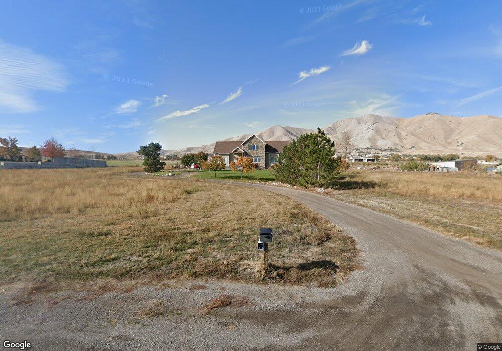
10178 S 6000 W Payson, UT 84651
Estimated Value: $843,000 - $1,463,517
3
Beds
3
Baths
3,326
Sq Ft
$344/Sq Ft
Est. Value
About This Home
This home is located at 10178 S 6000 W, Payson, UT 84651 and is currently estimated at $1,142,839, approximately $343 per square foot. 10178 S 6000 W is a home with nearby schools including Taylor Elementary School, Salem Junior High School, and Valley View Middle School.
Ownership History
Date
Name
Owned For
Owner Type
Purchase Details
Closed on
Nov 2, 2024
Sold by
Simons Robert D and Simons Candace L
Bought by
Robert D Simons And Candace L Simons Revocabl and Simons
Current Estimated Value
Purchase Details
Closed on
Aug 25, 2016
Sold by
Simons Robert D
Bought by
Simons Robert D and Simons Candace L
Purchase Details
Closed on
Oct 16, 2009
Sold by
Simons Robert D and Simons Aleesa B
Bought by
Simons Robert D
Purchase Details
Closed on
Oct 27, 1997
Sold by
Kester Terry Kay and Kester Barbara C
Bought by
Simons Robert D and Simons Aleesa B
Home Financials for this Owner
Home Financials are based on the most recent Mortgage that was taken out on this home.
Original Mortgage
$148,500
Interest Rate
7.49%
Mortgage Type
Construction
Create a Home Valuation Report for This Property
The Home Valuation Report is an in-depth analysis detailing your home's value as well as a comparison with similar homes in the area
Purchase History
| Date | Buyer | Sale Price | Title Company |
|---|---|---|---|
| Robert D Simons And Candace L Simons Revocabl | -- | None Listed On Document | |
| Simons Robert D | -- | Eagle Gate Title Ins Ag | |
| Simons Robert D | -- | Eagle Pointe Title Insurance | |
| Simons Robert D | -- | -- |
Source: Public Records
Mortgage History
| Date | Status | Borrower | Loan Amount |
|---|---|---|---|
| Previous Owner | Simons Robert D | $148,500 |
Source: Public Records
Tax History
| Year | Tax Paid | Tax Assessment Tax Assessment Total Assessment is a certain percentage of the fair market value that is determined by local assessors to be the total taxable value of land and additions on the property. | Land | Improvement |
|---|---|---|---|---|
| 2025 | $4,207 | $447,000 | -- | -- |
| 2024 | $4,207 | $420,570 | $0 | $0 |
| 2023 | $4,080 | $408,165 | $0 | $0 |
| 2022 | $3,086 | $900,300 | $465,000 | $435,300 |
| 2021 | $2,680 | $656,400 | $329,100 | $327,300 |
| 2020 | $2,411 | $608,600 | $281,300 | $327,300 |
| 2019 | $2,167 | $529,800 | $232,300 | $297,500 |
| 2018 | $2,045 | $477,300 | $212,300 | $265,000 |
| 2017 | $2,105 | $163,635 | $0 | $0 |
| 2016 | $593 | $109,905 | $0 | $0 |
| 2015 | $1,470 | $109,890 | $0 | $0 |
| 2014 | $1,470 | $109,975 | $0 | $0 |
Source: Public Records
Map
Nearby Homes
- 10336 S 6000 W
- 5132 W 10400 S
- 10900 S 5200 W
- 5746 W 11300 S
- 9054 S 6200 W
- 5635 W 11300 S
- 11433 S 5600 W
- 8874 S 6000 W
- 4050 W 9600 S
- 841 N Dryland Cir Unit BALLAR
- 841 N Dryland Cir Unit DREXEL
- 841 N Dryland Cir Unit HILDAL
- 841 N Dryland Cir Unit WINDSR
- 841 N Dryland Cir Unit WAKEFI
- 841 N Dryland Cir Unit LUCAS
- 841 N Dryland Cir Unit AUBREY
- 841 N Dryland Cir Unit COLUMB
- 841 N Dryland Cir Unit HARMON
- 841 N Dryland Cir Unit CALDWL
- 6300 W 10000 S Unit 2
- 10142 S 6000 W
- 10252 S 6000 W
- 10203 S 6000 W
- 10294 S 6000 W
- 10104 S 6000 W
- 10137 S 6000 W
- 10068 S 6000 W
- 10047 S 6000 W
- 10047 S 6000 W
- 10353 S 6000 W Unit 1
- 10353 S 6000 W
- 10424 S 5850 W
- 5892 W 10400 S
- 10324 S 5850 W
- 10378 S 6000 W
- 10078 S 5850 W
- 10032 S 6000 W
- 10038 S 5750 St W Unit 5
- 10400 S 5750 St W
- 10038 S 5850 W
Your Personal Tour Guide
Ask me questions while you tour the home.