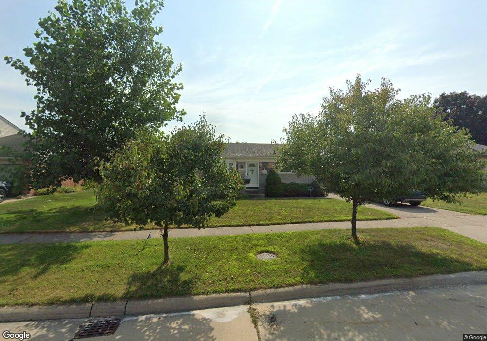
10179 Fairview St Taylor, MI 48180
Estimated Value: $216,872 - $252,000
3
Beds
2
Baths
1,100
Sq Ft
$218/Sq Ft
Est. Value
About This Home
This home is located at 10179 Fairview St, Taylor, MI 48180 and is currently estimated at $239,968, approximately $218 per square foot. 10179 Fairview St is a home located in Wayne County with nearby schools including Holland Elementary School, Hoover Middle School, and Taylor High School.
Ownership History
Date
Name
Owned For
Owner Type
Purchase Details
Closed on
Jun 2, 2011
Sold by
Morrison Joseph J and Morris Morrison Kathleen
Bought by
Morrison Joseph J
Current Estimated Value
Purchase Details
Closed on
Jun 16, 2009
Sold by
Morrison Joseph J
Bought by
Morrison Joseph J
Purchase Details
Closed on
Oct 16, 2008
Sold by
Bates Cynthia R
Bought by
Morrison Joseph J
Purchase Details
Closed on
Nov 3, 2004
Sold by
Myers Timothy J and Myers Sheryl L
Bought by
Bates Cynthia R
Create a Home Valuation Report for This Property
The Home Valuation Report is an in-depth analysis detailing your home's value as well as a comparison with similar homes in the area
Home Values in the Area
Average Home Value in this Area
Purchase History
| Date | Buyer | Sale Price | Title Company |
|---|---|---|---|
| Morrison Joseph J | -- | National Title Network Inc | |
| Morrison Joseph J | -- | Michigan Title Insurance Age | |
| Morrison Joseph J | $140,000 | Metropolitan Title Company | |
| Bates Cynthia R | $162,500 | Multiple |
Source: Public Records
Tax History
| Year | Tax Paid | Tax Assessment Tax Assessment Total Assessment is a certain percentage of the fair market value that is determined by local assessors to be the total taxable value of land and additions on the property. | Land | Improvement |
|---|---|---|---|---|
| 2025 | $2,233 | $99,400 | $0 | $0 |
| 2024 | $2,162 | $96,300 | $0 | $0 |
| 2023 | $2,612 | $84,100 | $0 | $0 |
| 2022 | $2,063 | $75,800 | $0 | $0 |
| 2021 | $2,299 | $69,600 | $0 | $0 |
| 2020 | $2,278 | $63,400 | $0 | $0 |
| 2019 | $228,031 | $57,600 | $0 | $0 |
| 2018 | $1,772 | $50,200 | $0 | $0 |
| 2017 | $1,033 | $48,400 | $0 | $0 |
| 2016 | $2,225 | $46,900 | $0 | $0 |
| 2015 | $4,003 | $44,800 | $0 | $0 |
| 2013 | $3,980 | $40,500 | $0 | $0 |
| 2012 | $1,736 | $40,200 | $13,600 | $26,600 |
Source: Public Records
Map
Nearby Homes
- 25556 Rusty St
- 10352 Gulley St
- 25790 Madden St
- 25315 Baker St
- 25112 Madden St
- 0 Goddard Unit 20251010304
- 26336 Kinyon St
- 9712 Cherokee St
- 10935 Westlake St
- 9717 Rose St
- 26376 Partridge Dr Unit 89
- 26400 Partridge Dr Unit 88
- 11098 Partridge Dr Unit 12
- 11098 Partridge Dr
- 26170 Wick Rd
- 11516 Pheasant Cir
- 11693 Partridge Dr Unit 38
- 11693 Partridge Dr
- 11890 Partridge Dr Unit 91
- 11869 Partridge Dr Unit 76
- 10193 Fairview St
- 10165 Fairview St
- 25632 Greenlawn Ct
- 10409 Fairview St
- 10151 Fairview St
- 25620 Greenlawn Ct
- 25644 Greenlawn Ct
- 25608 Greenlawn Ct
- 25656 Greenlawn Ct
- 10182 Fairview St
- 10168 Fairview St
- 10137 Fairview St
- 10423 Fairview St
- 10196 Fairview St
- 10156 Fairview St
- 25668 Greenlawn Ct
- 10410 Fairview St
- 25596 Greenlawn Ct
- 10142 Fairview St
- 10123 Fairview St
Your Personal Tour Guide
Ask me questions while you tour the home.