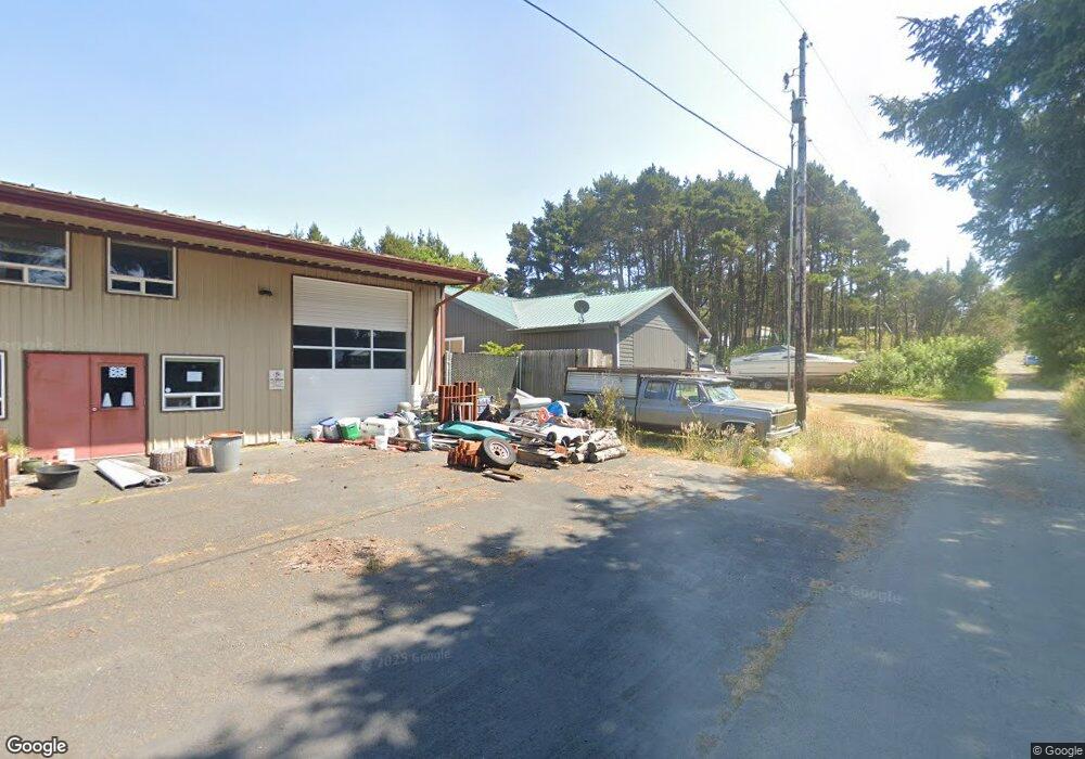
10179 NW Swallow St Seal Rock, OR 97376
Seal Rock NeighborhoodEstimated Value: $410,904 - $504,000
2
Beds
2
Baths
1,194
Sq Ft
$383/Sq Ft
Est. Value
About This Home
This home is located at 10179 NW Swallow St, Seal Rock, OR 97376 and is currently estimated at $457,226, approximately $382 per square foot. 10179 NW Swallow St is a home located in Lincoln County with nearby schools including Crestview Heights School and Waldport High and Middle School.
Ownership History
Date
Name
Owned For
Owner Type
Purchase Details
Closed on
Feb 27, 2015
Sold by
Harris Phillip C and Harris Joni M
Bought by
Harris Phillip C
Current Estimated Value
Home Financials for this Owner
Home Financials are based on the most recent Mortgage that was taken out on this home.
Original Mortgage
$309,000
Outstanding Balance
$227,532
Interest Rate
2.67%
Mortgage Type
Reverse Mortgage Home Equity Conversion Mortgage
Estimated Equity
$229,694
Purchase Details
Closed on
Sep 7, 2005
Sold by
Desantis Mario J and Desantis Elsa
Bought by
Harris Phillip C and Harris Joni M
Create a Home Valuation Report for This Property
The Home Valuation Report is an in-depth analysis detailing your home's value as well as a comparison with similar homes in the area
Home Values in the Area
Average Home Value in this Area
Purchase History
| Date | Buyer | Sale Price | Title Company |
|---|---|---|---|
| Harris Phillip C | -- | Wte | |
| Harris Phillip C | $48,000 | Western Title & Escrow Co |
Source: Public Records
Mortgage History
| Date | Status | Borrower | Loan Amount |
|---|---|---|---|
| Open | Harris Phillip C | $309,000 |
Source: Public Records
Tax History Compared to Growth
Tax History
| Year | Tax Paid | Tax Assessment Tax Assessment Total Assessment is a certain percentage of the fair market value that is determined by local assessors to be the total taxable value of land and additions on the property. | Land | Improvement |
|---|---|---|---|---|
| 2024 | $2,548 | $188,130 | -- | -- |
| 2023 | $2,501 | $182,660 | $0 | $0 |
| 2022 | $2,510 | $177,340 | $0 | $0 |
| 2021 | $2,328 | $172,180 | $0 | $0 |
| 2020 | $2,269 | $167,170 | $0 | $0 |
| 2019 | $2,194 | $162,310 | $0 | $0 |
| 2018 | $2,145 | $157,590 | $0 | $0 |
| 2017 | $2,179 | $153,000 | $0 | $0 |
| 2016 | $1,982 | $148,550 | $0 | $0 |
| 2015 | $1,736 | $143,710 | $0 | $0 |
| 2014 | $1,745 | $144,230 | $0 | $0 |
| 2013 | -- | $142,380 | $0 | $0 |
Source: Public Records
Map
Nearby Homes
- 10076 NW Swallow St
- 10000 Blk Nw Ray Street Tl3400
- 10000 Blk Nw Ray St Tl3400
- 10350 NW Pacific Coast Hwy
- 9904 NW Plover St
- 1051 NW Art St
- 9255 NW Pacific Coast Hwy
- 9166 NW Seagull Way
- 9100 NW Jay St
- 11000 NW Pacific Coast Hwy
- TL302 NW Riggen Ave
- 8790 NW Kinglet Ln
- 11658 NW Pacific Coast Hwy
- 11740 NW Pacific Coast Hwy
- 8243 NW Coast Rd
- T/L 4600 NW Raspberry Ln
- Tax L5000 NW Raspberry Ln
- 5000 NW Raspberry Ln
- 12999 NW Blackberry Ln
- 7088 NW Pacific Coast Hwy
- 10227 NW Swallow St
- 10185 NW Plover St
- 10151 NW Plover St
- 0 NW Swallow St Unit 2800
- 10110 NW Swallow St
- 10242 NW Swallow St
- XXX NW Plover St
- 0 NW Plover St
- 1175 NW Grebe St
- 1175 NW Grebe St
- 10065 NW Swallow St
- 10025 NW Swallow St
- 10076 NW Crane St
- 1080 NW Parkview St
- 10181 U S 101
- 10181 NW Pacific Coast Hwy
- 10261 NW Pacific Coast Hwy
- 1164 NW Parkview St
- 10076 Crane NE
- 10285 NW Pacific Coast Hwy