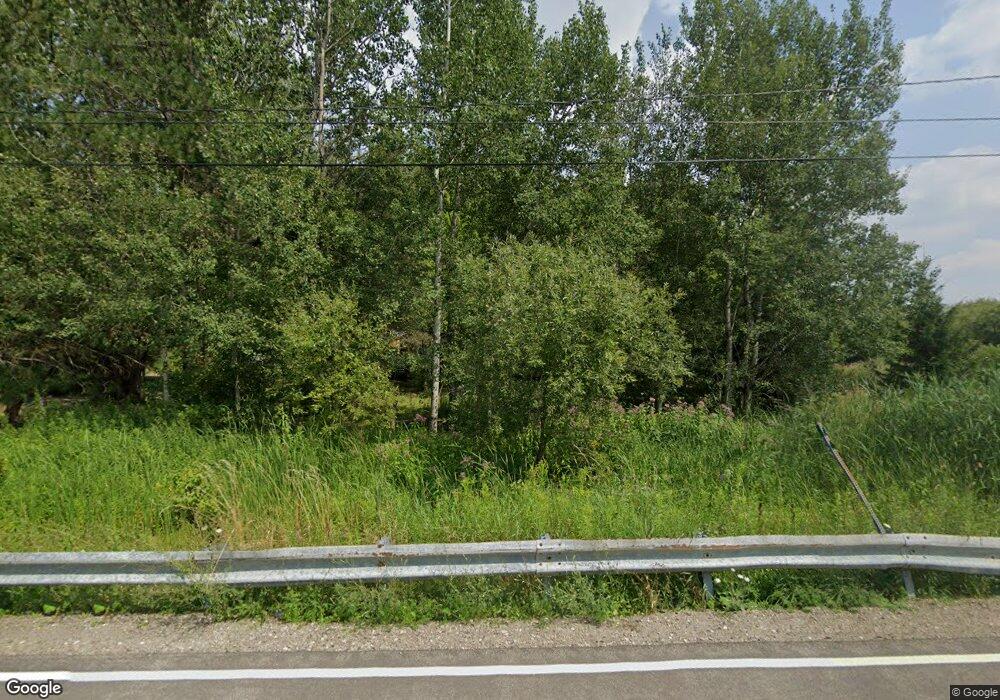
10179 Phillips Rd Holland, NY 14080
Estimated Value: $127,000 - $218,452
2
Beds
1
Bath
912
Sq Ft
$187/Sq Ft
Est. Value
About This Home
This home is located at 10179 Phillips Rd, Holland, NY 14080 and is currently estimated at $170,863, approximately $187 per square foot. 10179 Phillips Rd is a home located in Erie County with nearby schools including Harold O. Brumsted Elementary School, Holland Middle School, and Holland High School.
Ownership History
Date
Name
Owned For
Owner Type
Purchase Details
Closed on
Jul 2, 2001
Sold by
Citifinancial Mtg Company Inc
Bought by
Hinchy Patrick E and Hinchy Renee M
Current Estimated Value
Home Financials for this Owner
Home Financials are based on the most recent Mortgage that was taken out on this home.
Original Mortgage
$50,270
Outstanding Balance
$19,373
Interest Rate
7.14%
Mortgage Type
FHA
Estimated Equity
$151,490
Create a Home Valuation Report for This Property
The Home Valuation Report is an in-depth analysis detailing your home's value as well as a comparison with similar homes in the area
Home Values in the Area
Average Home Value in this Area
Purchase History
| Date | Buyer | Sale Price | Title Company |
|---|---|---|---|
| Hinchy Patrick E | $37,500 | -- |
Source: Public Records
Mortgage History
| Date | Status | Borrower | Loan Amount |
|---|---|---|---|
| Open | Hinchy Patrick E | $50,270 |
Source: Public Records
Tax History Compared to Growth
Tax History
| Year | Tax Paid | Tax Assessment Tax Assessment Total Assessment is a certain percentage of the fair market value that is determined by local assessors to be the total taxable value of land and additions on the property. | Land | Improvement |
|---|---|---|---|---|
| 2024 | $722 | $58,300 | $12,400 | $45,900 |
| 2023 | $662 | $58,300 | $12,400 | $45,900 |
| 2022 | $1,064 | $58,300 | $12,400 | $45,900 |
| 2021 | $1,348 | $58,300 | $12,400 | $45,900 |
| 2020 | $1,313 | $58,300 | $12,400 | $45,900 |
| 2019 | $1,333 | $58,300 | $12,400 | $45,900 |
| 2018 | $1,316 | $58,300 | $12,400 | $45,900 |
| 2017 | $482 | $58,300 | $12,400 | $45,900 |
| 2016 | $1,311 | $58,300 | $12,400 | $45,900 |
| 2015 | -- | $58,300 | $12,400 | $45,900 |
| 2014 | -- | $58,300 | $12,400 | $45,900 |
Source: Public Records
Map
Nearby Homes
- Lot #5 Crump Rd
- Lot #3 Phillips Rd
- Lot #4 Phillips Rd
- Lot #2 Phillips Rd
- lot #1 Phillips Rd
- 11799 Matteson Corners Rd
- 10801 Crump Rd
- 9853 Warner Gulf Rd
- 10723 Holland Glenwood Rd
- 0 Allen Rd Unit 24544991
- 0 Allen Rd Unit S1629087
- 0 Allen Rd Unit S1632882
- 0 Allen Rd Unit 24370349
- 11303 Holland Glenwood Rd
- 9189 Burlingham Rd
- 9208 Center Rd
- 164 Capitol Heights
- 28 Woodstock Rd
- 94 N Main St
- 120 N Main St
- 10139 Phillips Rd
- 10239 Phillips Rd
- 10140 Phillips Rd
- 10129 Phillips Rd
- 10260 Phillips Rd
- 10100 Phillips Rd
- 10069 Phillips Rd
- 10300 Phillips Rd
- 10019 Phillips Rd
- 10379 Phillips Rd
- 9989 Phillips Rd
- 10918 Matteson Corners Rd
- 11050 Matteson Corners Rd
- 10980 Matteson Corners Rd
- 10989 Matteson Corners Rd
- 11079 Matteson Corners Rd
- 10920 Matteson Corners Rd
- 10920 Matteson Corners Rd
- 11170 Matteson Corners Rd
- 10950 Matteson Corners Rd
