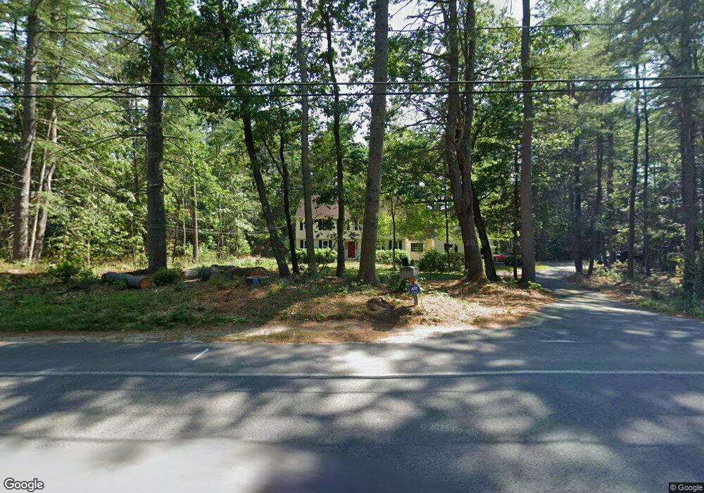
1018 East St Carlisle, MA 01741
Estimated Value: $1,150,000 - $1,279,000
4
Beds
3
Baths
2,681
Sq Ft
$446/Sq Ft
Est. Value
About This Home
This home is located at 1018 East St, Carlisle, MA 01741 and is currently estimated at $1,195,596, approximately $445 per square foot. 1018 East St is a home located in Middlesex County with nearby schools including Carlisle School.
Ownership History
Date
Name
Owned For
Owner Type
Purchase Details
Closed on
Jun 6, 2014
Sold by
Mancini Eduardo
Bought by
Barbara A Mancini T A and Barbara Mancini
Current Estimated Value
Purchase Details
Closed on
Dec 18, 1978
Bought by
Mancini Barbara A and Mancini Eduardo
Create a Home Valuation Report for This Property
The Home Valuation Report is an in-depth analysis detailing your home's value as well as a comparison with similar homes in the area
Home Values in the Area
Average Home Value in this Area
Purchase History
| Date | Buyer | Sale Price | Title Company |
|---|---|---|---|
| Barbara A Mancini T A | -- | -- | |
| Barbara A Mancini T | -- | -- | |
| Mancini Barbara A | -- | -- |
Source: Public Records
Mortgage History
| Date | Status | Borrower | Loan Amount |
|---|---|---|---|
| Previous Owner | Mancini Barbara A | $65,000 |
Source: Public Records
Tax History Compared to Growth
Tax History
| Year | Tax Paid | Tax Assessment Tax Assessment Total Assessment is a certain percentage of the fair market value that is determined by local assessors to be the total taxable value of land and additions on the property. | Land | Improvement |
|---|---|---|---|---|
| 2025 | $13,275 | $1,007,200 | $545,300 | $461,900 |
| 2024 | $12,887 | $966,800 | $501,700 | $465,100 |
| 2023 | $12,674 | $895,700 | $501,400 | $394,300 |
| 2022 | $12,322 | $746,800 | $414,100 | $332,700 |
| 2021 | $12,158 | $746,800 | $414,100 | $332,700 |
| 2020 | $12,252 | $667,300 | $327,000 | $340,300 |
| 2019 | $12,035 | $658,000 | $327,000 | $331,000 |
| 2018 | $11,956 | $658,000 | $327,000 | $331,000 |
| 2017 | $11,516 | $653,600 | $327,000 | $326,600 |
| 2016 | $11,242 | $653,600 | $327,000 | $326,600 |
| 2015 | $10,980 | $577,900 | $313,900 | $264,000 |
| 2014 | $10,772 | $577,900 | $313,900 | $264,000 |
Source: Public Records
Map
Nearby Homes
- 383 E Riding Dr
- 373 E Riding Dr
- 282 Brook St
- 4 Dove Ln
- 63 Outlook Rd
- 43 Outlook Rd
- 6 Edgehill Rd
- 125 Maple St
- 198 Nashua Rd
- 3 Kay's Walk
- 15 Kay's Walk
- 1 Kay's Walk Unit 1
- 1 Kay's Walk
- 13 Kay's Walk
- 15 Kay's Walk Unit 4
- 3 Kay's Walk Unit 3
- 11 Kay's Walk
- 8 Kay's Walk Unit 13
- 14 Kay's Walk
- 6 Kay's Walk Unit 6