1018 Foxborough Dr Williamston, MI 48895
Estimated Value: $367,639 - $443,000
3
Beds
2
Baths
1,807
Sq Ft
$230/Sq Ft
Est. Value
About This Home
This home is located at 1018 Foxborough Dr, Williamston, MI 48895 and is currently estimated at $416,160, approximately $230 per square foot. 1018 Foxborough Dr is a home located in Ingham County with nearby schools including Williamston Discovery Elementary School, Williamston Explorer Elementary School, and Williamston Middle School.
Ownership History
Date
Name
Owned For
Owner Type
Purchase Details
Closed on
Oct 26, 2006
Sold by
Tabor Douglas Alan
Bought by
Tabor Jennifer Claire
Current Estimated Value
Home Financials for this Owner
Home Financials are based on the most recent Mortgage that was taken out on this home.
Original Mortgage
$190,500
Outstanding Balance
$110,640
Interest Rate
5.89%
Mortgage Type
Stand Alone Refi Refinance Of Original Loan
Estimated Equity
$305,520
Purchase Details
Closed on
May 14, 2001
Sold by
Suburban Builders Corp
Bought by
Tabor Douglas and Tabor Jennifer
Home Financials for this Owner
Home Financials are based on the most recent Mortgage that was taken out on this home.
Original Mortgage
$167,400
Interest Rate
7.14%
Mortgage Type
Purchase Money Mortgage
Create a Home Valuation Report for This Property
The Home Valuation Report is an in-depth analysis detailing your home's value as well as a comparison with similar homes in the area
Home Values in the Area
Average Home Value in this Area
Purchase History
| Date | Buyer | Sale Price | Title Company |
|---|---|---|---|
| Tabor Jennifer Claire | -- | Fatic | |
| Tabor Douglas | $30,000 | First American Title Ins Co |
Source: Public Records
Mortgage History
| Date | Status | Borrower | Loan Amount |
|---|---|---|---|
| Open | Tabor Jennifer Claire | $190,500 | |
| Previous Owner | Tabor Douglas | $167,400 |
Source: Public Records
Tax History Compared to Growth
Tax History
| Year | Tax Paid | Tax Assessment Tax Assessment Total Assessment is a certain percentage of the fair market value that is determined by local assessors to be the total taxable value of land and additions on the property. | Land | Improvement |
|---|---|---|---|---|
| 2025 | $7,014 | $184,500 | $36,200 | $148,300 |
| 2024 | $51 | $177,000 | $40,100 | $136,900 |
| 2023 | $6,558 | $162,500 | $35,100 | $127,400 |
| 2022 | $6,262 | $150,900 | $39,500 | $111,400 |
| 2021 | $6,156 | $143,400 | $23,700 | $119,700 |
| 2020 | $5,903 | $135,800 | $23,700 | $112,100 |
| 2019 | $5,682 | $126,000 | $19,700 | $106,300 |
| 2018 | $5,581 | $119,800 | $19,700 | $100,100 |
| 2017 | $5,370 | $121,100 | $18,300 | $102,800 |
| 2016 | -- | $116,300 | $17,000 | $99,300 |
| 2015 | -- | $107,600 | $25,643 | $81,957 |
| 2014 | -- | $94,300 | $31,560 | $62,740 |
Source: Public Records
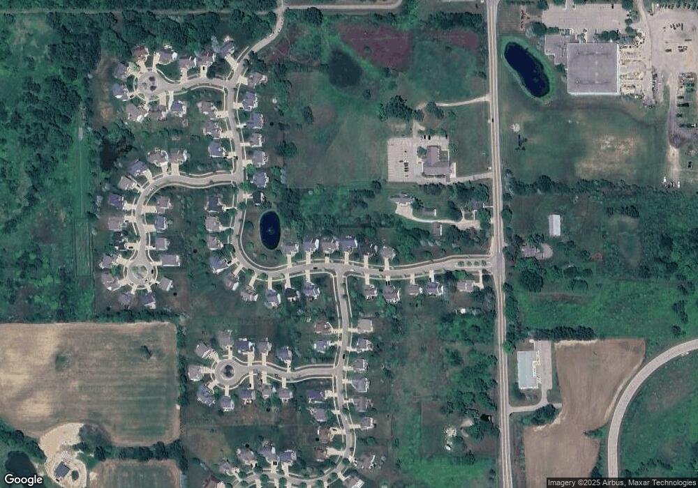
Map
Nearby Homes
- 1106 Cobblestone Ct
- 1112 W Maide Marian's Ct
- 1108 W Maide Marian's Ct
- 131 W South St
- 0 Linn Rd Unit 291462
- 402 Crossman St
- 1521 Nottingham Forest Trail Unit 50
- 1546 Nottingham Forest Trail #62 Trail
- 1542 Nottingham Forest Trail #64
- 1530 Lytell Johne's Path #78
- 875 W Grand River Ave Unit 35
- 875 W Grand River Ave Unit 29
- 1532 Lytell Johne's Path #77
- 1544 Nottingham Forest Trail #63
- 540 W Grand River Ave
- 880 Holly Ct
- 529 High St
- 111 Block St
- 610 E Church St
- 482 Red Cedar Blvd
- 1014 Foxborough Dr
- 1022 Foxborough Dr
- 1078 Foxborough Dr
- 1010 Foxborough Dr
- 1026 Foxborough Dr
- 1030 Foxborough Dr
- 1015 Foxborough Dr
- 1019 Foxborough Dr
- 3173 N Williamston Rd
- 1009 Foxborough Dr
- 1005 Foxborough Dr
- 1268 Berkshire Dr
- 1267 Berkshire Dr
- 1050 Foxborough Dr
- 1027 Foxborough Dr
- 1001 Foxborough Dr
- 1054 Foxborough Dr
- 1264 Berkshire Dr
- 1263 Berkshire Dr
- 1058 Foxborough Dr