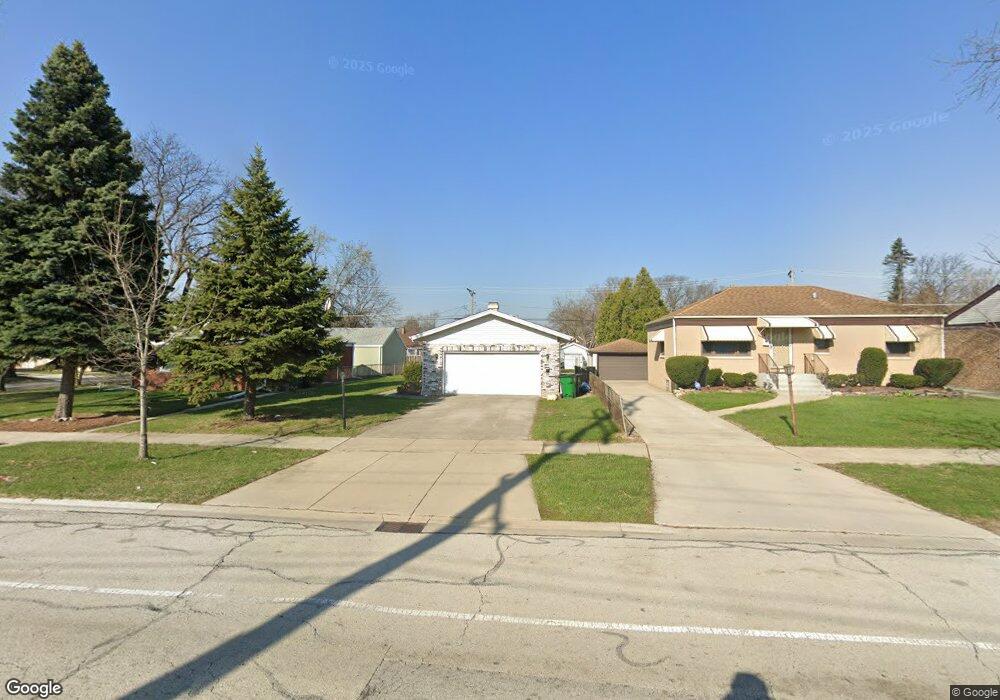
1018 Gardner Rd Westchester, IL 60154
Estimated Value: $304,000 - $329,000
3
Beds
2
Baths
1,170
Sq Ft
$270/Sq Ft
Est. Value
About This Home
This home is located at 1018 Gardner Rd, Westchester, IL 60154 and is currently estimated at $315,391, approximately $269 per square foot. 1018 Gardner Rd is a home located in Cook County with nearby schools including Westchester Primary School, Westchester Intermediate School, and Westchester Middle School.
Ownership History
Date
Name
Owned For
Owner Type
Purchase Details
Closed on
Nov 11, 1993
Sold by
Leon Parent Trucking Co Inc
Bought by
Omoba Emmanuel
Current Estimated Value
Purchase Details
Closed on
Oct 27, 1993
Sold by
Parent Leon and Parent Jeanine
Bought by
Leon Parent Trucking Co Inc
Purchase Details
Closed on
Aug 23, 1993
Sold by
Leon Parent Trucking Co Inc
Bought by
Parent Leon
Create a Home Valuation Report for This Property
The Home Valuation Report is an in-depth analysis detailing your home's value as well as a comparison with similar homes in the area
Home Values in the Area
Average Home Value in this Area
Purchase History
| Date | Buyer | Sale Price | Title Company |
|---|---|---|---|
| Omoba Emmanuel | $93,333 | -- | |
| Leon Parent Trucking Co Inc | -- | -- | |
| Parent Leon | -- | -- |
Source: Public Records
Tax History Compared to Growth
Tax History
| Year | Tax Paid | Tax Assessment Tax Assessment Total Assessment is a certain percentage of the fair market value that is determined by local assessors to be the total taxable value of land and additions on the property. | Land | Improvement |
|---|---|---|---|---|
| 2024 | $6,561 | $25,000 | $2,691 | $22,309 |
| 2023 | $5,968 | $25,000 | $2,691 | $22,309 |
| 2022 | $5,968 | $19,564 | $2,368 | $17,196 |
| 2021 | $5,777 | $19,563 | $2,367 | $17,196 |
| 2020 | $5,644 | $19,563 | $2,367 | $17,196 |
| 2019 | $4,910 | $17,380 | $2,152 | $15,228 |
| 2018 | $4,846 | $17,380 | $2,152 | $15,228 |
| 2017 | $4,753 | $17,380 | $2,152 | $15,228 |
| 2016 | $4,346 | $14,901 | $1,937 | $12,964 |
| 2015 | $4,290 | $14,901 | $1,937 | $12,964 |
| 2014 | $4,191 | $14,901 | $1,937 | $12,964 |
| 2013 | $4,472 | $17,790 | $1,937 | $15,853 |
Source: Public Records
Map
Nearby Homes
- 923 Manchester Ave
- 750 Bristol Ave
- 805 Norfolk Ave
- 814 Norfolk Ave
- 920 Suffolk Ave
- 626 Manchester Ave
- 1119 Newcastle Ave
- 2003 S 24th Ave
- 10072 Drury Ln
- 1016 Hull Ave
- 1433 Bristol Ave
- 1108 31st Ave
- 1910 S 22nd Ave
- 1102 31st Ave
- 1909 S 22nd Ave
- 1034 31st Ave
- 2237 S 22nd Ave
- 1500 Bristol Ave
- 2320 S 22nd Ave
- 1022 Eastern Ave
- 1014 Gardner Rd
- 1024 Gardner Rd
- 1010 Gardner Rd
- 1019 Bristol Ave
- 1013 Bristol Ave
- 1025 Bristol Ave
- 1004 Gardner Rd
- 1007 Bristol Ave
- 1100 Gardner Rd
- 1003 Bristol Ave
- 930 Gardner Rd
- 1103 Bristol Ave
- 1106 Gardner Rd
- 1001 Bristol Ave
- 924 Gardner Rd
- 1107 Bristol Ave
- 927 Bristol Ave
- 1110 Gardner Rd
- 923 Bristol Ave
- 918 Gardner Rd