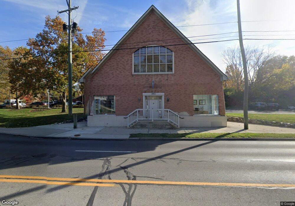
1018 High St Worthington, OH 43085
Estimated Value: $801,771
--
Bed
--
Bath
5,011
Sq Ft
$160/Sq Ft
Est. Value
About This Home
This home is located at 1018 High St, Worthington, OH 43085 and is currently estimated at $801,771, approximately $160 per square foot. 1018 High St is a home located in Franklin County with nearby schools including Wilson Hill Elementary School, Kilbourne Middle School, and Thomas Worthington High School.
Ownership History
Date
Name
Owned For
Owner Type
Purchase Details
Closed on
Oct 19, 2016
Sold by
1018 High St Llc
Bought by
Podoki Real Estae Llc
Current Estimated Value
Home Financials for this Owner
Home Financials are based on the most recent Mortgage that was taken out on this home.
Original Mortgage
$840,000
Interest Rate
3.44%
Mortgage Type
Commercial
Purchase Details
Closed on
Aug 25, 2004
Sold by
Arnold B Ray and Arnold Tamara R
Bought by
1018 High Street Llc
Home Financials for this Owner
Home Financials are based on the most recent Mortgage that was taken out on this home.
Original Mortgage
$556,525
Interest Rate
6.08%
Mortgage Type
Commercial
Purchase Details
Closed on
Jul 27, 1994
Sold by
Est Stephen M Snouffer
Bought by
Arnold Ray B and Arnold Tamara R
Purchase Details
Closed on
Jan 14, 1991
Create a Home Valuation Report for This Property
The Home Valuation Report is an in-depth analysis detailing your home's value as well as a comparison with similar homes in the area
Home Values in the Area
Average Home Value in this Area
Purchase History
| Date | Buyer | Sale Price | Title Company |
|---|---|---|---|
| Podoki Real Estae Llc | $489,000 | Title First Agency Inc | |
| 1018 High Street Llc | $650,000 | -- | |
| Arnold Ray B | $142,000 | -- | |
| -- | -- | -- |
Source: Public Records
Mortgage History
| Date | Status | Borrower | Loan Amount |
|---|---|---|---|
| Closed | Podoki Real Estae Llc | $840,000 | |
| Previous Owner | 1018 High Street Llc | $556,525 |
Source: Public Records
Tax History Compared to Growth
Tax History
| Year | Tax Paid | Tax Assessment Tax Assessment Total Assessment is a certain percentage of the fair market value that is determined by local assessors to be the total taxable value of land and additions on the property. | Land | Improvement |
|---|---|---|---|---|
| 2024 | $25,549 | $263,140 | $115,470 | $147,670 |
| 2023 | $24,370 | $263,130 | $115,465 | $147,665 |
| 2022 | $19,516 | $179,030 | $84,670 | $94,360 |
| 2021 | $18,431 | $179,030 | $84,670 | $94,360 |
| 2020 | $17,882 | $179,030 | $84,670 | $94,360 |
| 2019 | $17,167 | $162,760 | $76,970 | $85,790 |
| 2018 | $18,298 | $162,760 | $76,970 | $85,790 |
| 2017 | $15,956 | $162,760 | $76,970 | $85,790 |
| 2016 | $19,816 | $192,680 | $77,000 | $115,680 |
| 2015 | $19,801 | $192,680 | $77,000 | $115,680 |
| 2014 | $19,792 | $192,680 | $77,000 | $115,680 |
| 2013 | $9,690 | $192,675 | $77,000 | $115,675 |
Source: Public Records
Map
Nearby Homes
- 127 Heischman Ave
- 6730 Kensington Way
- 6813 Hayhurst St
- 675 Plymouth St
- 120 Caren Ave
- 0 Proprietors Rd Unit 225002452
- 6750 Worthington Galena Rd
- 551 Oxford St
- 930 Proprietors Rd
- 143 W South St
- 264 E South St
- 210 Saint Antoine St Unit 25D
- 251 Northigh Dr
- 5818 Crescent Ct
- 365 Pinney Dr
- 5778 Crescent Ct
- 477 Olenwood Ave
- 554 Haymore Ave N
- 6380 Plesenton Dr
- 841 Troon Trail
- 1001 N High St Unit 1
- 22 Wilson Dr
- 40 Wilson Dr
- 951 High St Unit B
- 951 High St Unit E-1
- 965 N High St
- 951 High St Unit B
- 951 N High St Unit B
- 1001 High St
- 52 Wilson Dr
- 1000 N High St
- 60 Glen Dr Unit 160
- 75 Crandall Dr
- 287 Greenbriar Ct
- 60 Wilson Dr
- 300 Greenbriar Ct
- 64 Glen Dr
- 49 Wilson Dr
- 970 High St Unit J1
- 970 High St Unit F2