1018 Marlboro Rd Lothian, MD 20711
Estimated Value: $501,000 - $749,000
4
Beds
3
Baths
2,744
Sq Ft
$237/Sq Ft
Est. Value
About This Home
This home is located at 1018 Marlboro Rd, Lothian, MD 20711 and is currently estimated at $650,290, approximately $236 per square foot. 1018 Marlboro Rd is a home located in Anne Arundel County with nearby schools including Lothian Elementary School, Southern Middle School, and Southern High School.
Ownership History
Date
Name
Owned For
Owner Type
Purchase Details
Closed on
Sep 13, 2010
Sold by
Hsbc Bank Us
Bought by
Cannon Edward C
Current Estimated Value
Purchase Details
Closed on
Jan 20, 2006
Sold by
Pearl Colin K
Bought by
Flores Rene
Home Financials for this Owner
Home Financials are based on the most recent Mortgage that was taken out on this home.
Original Mortgage
$116,000
Interest Rate
6.33%
Mortgage Type
Stand Alone Second
Purchase Details
Closed on
Jan 6, 2006
Sold by
Pearl Colin K
Bought by
Flores Rene
Home Financials for this Owner
Home Financials are based on the most recent Mortgage that was taken out on this home.
Original Mortgage
$116,000
Interest Rate
6.33%
Mortgage Type
Stand Alone Second
Create a Home Valuation Report for This Property
The Home Valuation Report is an in-depth analysis detailing your home's value as well as a comparison with similar homes in the area
Home Values in the Area
Average Home Value in this Area
Purchase History
| Date | Buyer | Sale Price | Title Company |
|---|---|---|---|
| Cannon Edward C | $315,000 | -- | |
| Flores Rene | $580,000 | -- | |
| Flores Rene | $580,000 | -- |
Source: Public Records
Mortgage History
| Date | Status | Borrower | Loan Amount |
|---|---|---|---|
| Previous Owner | Flores Rene | $116,000 | |
| Previous Owner | Flores Rene | $464,000 | |
| Previous Owner | Flores Rene | $464,000 |
Source: Public Records
Tax History Compared to Growth
Tax History
| Year | Tax Paid | Tax Assessment Tax Assessment Total Assessment is a certain percentage of the fair market value that is determined by local assessors to be the total taxable value of land and additions on the property. | Land | Improvement |
|---|---|---|---|---|
| 2025 | $5,591 | $524,133 | -- | -- |
| 2024 | $5,591 | $481,067 | $0 | $0 |
| 2023 | $4,783 | $438,000 | $185,800 | $252,200 |
| 2022 | $5,107 | $433,233 | $0 | $0 |
| 2021 | $10,114 | $428,467 | $0 | $0 |
| 2020 | $4,968 | $423,700 | $185,800 | $237,900 |
| 2019 | $4,973 | $423,700 | $185,800 | $237,900 |
| 2018 | $4,296 | $423,700 | $185,800 | $237,900 |
| 2017 | $4,956 | $434,500 | $0 | $0 |
| 2016 | -- | $404,300 | $0 | $0 |
| 2015 | -- | $374,100 | $0 | $0 |
| 2014 | -- | $343,900 | $0 | $0 |
Source: Public Records
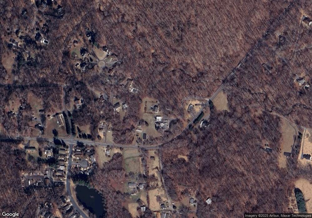
Map
Nearby Homes
- 997 Mount Zion Marlboro Rd
- 190 Boones Dr
- 214 Konrad Morgan Way
- 263 Konrad Morgan Way
- 484 Keith Ct
- 1156 Mount Zion Marlboro Rd
- 1154 Mount Zion Marlboro Rd
- 1218 Whittington Dr
- 460 Sarah Anne Dr
- 896 Mount Zion Marlboro Rd
- 92 Patuxent Mobile Estates
- 76 Patuxent Mobile Estates
- 6 Patuxent Mobile Estates
- 5248 Ferry Branch Ln
- 5257 Ferry Branch Ln
- 318 Ella Dr
- 5709 Plummer Ln
- 623 Traveller Ct
- 26 2nd St
- 148 1st St
- 1022 Marlboro Rd
- 1014 Marlboro Rd
- 1046 Marlboro Rd
- 1044 Mt Zion Marlboro Rd
- 1085 Pemberton Ln
- 1087 Pemberton Ln
- 1054 Mount Zion Marlboro Rd
- 1054 Marlboro Rd
- 1019 Marlboro Rd
- 1083 Pemberton Ln
- 1074 Marlboro Rd
- 1089 Pemberton Ln
- 1081 Pemberton Ln
- 1073 Marlboro Rd
- 1082 Pemberton Ln
- 999 Marlboro Rd
- 1005 Marlboro Rd
- 1057 Marlboro Rd
- 1059 Marlboro Rd
- 1003 Marlboro Rd