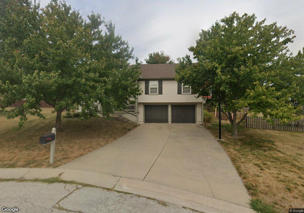
1018 NW Dogwood Dr Grain Valley, MO 64029
Estimated Value: $341,000 - $365,000
3
Beds
3
Baths
1,415
Sq Ft
$250/Sq Ft
Est. Value
About This Home
This home is located at 1018 NW Dogwood Dr, Grain Valley, MO 64029 and is currently estimated at $353,305, approximately $249 per square foot. 1018 NW Dogwood Dr is a home located in Jackson County with nearby schools including Grain Valley High School.
Ownership History
Date
Name
Owned For
Owner Type
Purchase Details
Closed on
Dec 29, 2003
Sold by
L A Case Construction Inc
Bought by
Aldred Kevin B and Crane Leslie A
Current Estimated Value
Home Financials for this Owner
Home Financials are based on the most recent Mortgage that was taken out on this home.
Original Mortgage
$115,650
Outstanding Balance
$53,440
Interest Rate
5.84%
Mortgage Type
Purchase Money Mortgage
Estimated Equity
$299,865
Create a Home Valuation Report for This Property
The Home Valuation Report is an in-depth analysis detailing your home's value as well as a comparison with similar homes in the area
Home Values in the Area
Average Home Value in this Area
Purchase History
| Date | Buyer | Sale Price | Title Company |
|---|---|---|---|
| Aldred Kevin B | -- | Stewart Title |
Source: Public Records
Mortgage History
| Date | Status | Borrower | Loan Amount |
|---|---|---|---|
| Open | Aldred Kevin B | $115,650 |
Source: Public Records
Tax History Compared to Growth
Tax History
| Year | Tax Paid | Tax Assessment Tax Assessment Total Assessment is a certain percentage of the fair market value that is determined by local assessors to be the total taxable value of land and additions on the property. | Land | Improvement |
|---|---|---|---|---|
| 2025 | $5,140 | $50,255 | $15,181 | $35,074 |
| 2024 | $5,140 | $62,406 | $17,514 | $44,892 |
| 2023 | $4,948 | $62,406 | $12,586 | $49,820 |
| 2022 | $3,445 | $38,000 | $14,402 | $23,598 |
| 2021 | $3,364 | $38,000 | $14,402 | $23,598 |
| 2020 | $3,414 | $38,043 | $14,402 | $23,641 |
| 2019 | $3,345 | $38,043 | $14,402 | $23,641 |
| 2018 | $1,603,458 | $32,392 | $4,318 | $28,074 |
| 2017 | $3,048 | $32,392 | $4,318 | $28,074 |
| 2016 | $2,707 | $28,785 | $5,738 | $23,047 |
| 2014 | $2,623 | $27,683 | $5,358 | $22,325 |
Source: Public Records
Map
Nearby Homes
- 816 NW Cedar Ln
- 2003 NW Elmwood Dr
- 952 NW Maplewood Ct
- 1103 NW Hickory Ct
- 1702 NW Hedgewood Dr
- 1310 NW Sycamore Dr
- 809 NW Poplar Ct
- 1515 NW Whispering Ct
- 408 NW Rust Ct
- 804 NW Hickory Ridge Dr
- 1800 NW Mya Ct
- 801 NW Hickory Ridge Dr
- 803 NW Hickory Ridge Dr
- 2211 NW Hedgewood Dr
- 1601 NW Nicholas Dr
- 401 NW Europa Dr
- TBD E Duncan Rd
- 1403 NW Burr Oak Ct
- 912 NW Hickorywood Dr
- 505 NW Whitney Dr
- 1020 NW Dogwood Dr
- 1016 NW Dogwood Dr
- 1205 NW Boxelder Ct
- 1019 NW Dogwood Dr
- 1203 NW Boxelder Ct
- 1207 NW Boxelder Ct
- 1017 NW Dogwood Dr
- 1015 NW Dogwood Dr
- 1814 NW Elmwood Dr
- 1209 NW Boxelder Ct
- 1816 NW Elmwood Dr
- 1201 NW Boxelder Ct
- 1013 NW Dogwood Dr
- 1111 NW Boxelder Ct
- 1818 NW Elmwood Dr
- 1902 NW Elmwood Dr
- 1812 NW Elmwood Dr
- 1211 NW Boxelder Ct
- 1009 NW Dogwood Dr
- 1204 NW Boxelder Ct