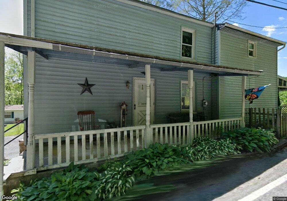
1018 Port Clinton Ave Hamburg, PA 19526
Estimated Value: $223,000 - $317,000
3
Beds
2
Baths
1,336
Sq Ft
$192/Sq Ft
Est. Value
About This Home
This home is located at 1018 Port Clinton Ave, Hamburg, PA 19526 and is currently estimated at $256,182, approximately $191 per square foot. 1018 Port Clinton Ave is a home located in Berks County with nearby schools including Hamburg Area High School and Blue Mountain Seventh-day Adventist Elementary School.
Ownership History
Date
Name
Owned For
Owner Type
Purchase Details
Closed on
Jun 23, 2025
Sold by
Vanbuskirk Denise
Bought by
Denise H Rodriguez Revocable Trust and Rodriguez
Current Estimated Value
Purchase Details
Closed on
Aug 31, 2001
Sold by
Kunkel Jay R and Kunkel Lorraine I
Bought by
Vanbuskirk Denise
Home Financials for this Owner
Home Financials are based on the most recent Mortgage that was taken out on this home.
Original Mortgage
$52,800
Interest Rate
6.99%
Create a Home Valuation Report for This Property
The Home Valuation Report is an in-depth analysis detailing your home's value as well as a comparison with similar homes in the area
Home Values in the Area
Average Home Value in this Area
Purchase History
| Date | Buyer | Sale Price | Title Company |
|---|---|---|---|
| Denise H Rodriguez Revocable Trust | -- | Northeast Berks Abstract | |
| Vanbuskirk Denise | $67,000 | -- |
Source: Public Records
Mortgage History
| Date | Status | Borrower | Loan Amount |
|---|---|---|---|
| Previous Owner | Vanbuskirk Denise | $52,800 | |
| Closed | Vanbuskirk Denise | $7,500 |
Source: Public Records
Tax History Compared to Growth
Tax History
| Year | Tax Paid | Tax Assessment Tax Assessment Total Assessment is a certain percentage of the fair market value that is determined by local assessors to be the total taxable value of land and additions on the property. | Land | Improvement |
|---|---|---|---|---|
| 2025 | $1,322 | $73,400 | $38,500 | $34,900 |
| 2024 | $3,252 | $73,400 | $38,500 | $34,900 |
| 2023 | $3,165 | $73,400 | $38,500 | $34,900 |
| 2022 | $3,165 | $73,400 | $38,500 | $34,900 |
| 2021 | $3,146 | $73,400 | $38,500 | $34,900 |
| 2020 | $3,146 | $73,400 | $38,500 | $34,900 |
| 2019 | $3,128 | $73,400 | $38,500 | $34,900 |
| 2018 | $3,128 | $73,400 | $38,500 | $34,900 |
| 2017 | $3,089 | $73,400 | $38,500 | $34,900 |
| 2016 | $1,106 | $73,400 | $38,500 | $34,900 |
| 2015 | $1,106 | $73,400 | $38,500 | $34,900 |
| 2014 | $1,106 | $72,900 | $38,500 | $34,400 |
Source: Public Records
Map
Nearby Homes
- 1014 Port Clinton Ave
- 1022 Port Clinton Ave
- 40 Mountain Ln
- 1034 Port Clinton Ave
- 1016 Port Clinton Ave
- 1036 Port Clinton Ave
- 1010 Port Clinton Ave
- 80 Mountain Ln
- 920 Port Clinton Ave
- 915 Port Clinton Ave
- 385 Lowland Rd
- 379 Lowland Rd
- 377 Lowland Rd
- 1550 Mountain Rd
- 371 Lowland Rd
- 363 Lowland Rd
- 361 Lowland Rd
- 351 Lowland Rd
- 0 Lowland Rd
- 722 Port Clinton Ave