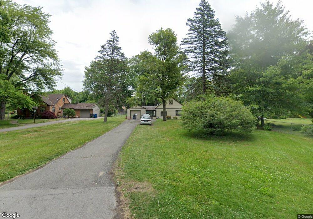
1018 Vanderbilt Rd Toledo, OH 43615
Reynolds Corners NeighborhoodEstimated Value: $110,000 - $160,000
3
Beds
1
Bath
1,152
Sq Ft
$109/Sq Ft
Est. Value
About This Home
This home is located at 1018 Vanderbilt Rd, Toledo, OH 43615 and is currently estimated at $125,455, approximately $108 per square foot. 1018 Vanderbilt Rd is a home located in Lucas County with nearby schools including McTigue Elementary School, Rogers High School, and Horizon Science Academy-Springfield.
Ownership History
Date
Name
Owned For
Owner Type
Purchase Details
Closed on
Nov 5, 2021
Sold by
Kerste John P
Bought by
Jahns Donald and Jahns Donna
Current Estimated Value
Purchase Details
Closed on
Jul 10, 2012
Sold by
Hicks Therese M
Bought by
Kerste John P
Purchase Details
Closed on
Jun 8, 2001
Sold by
Kerste Lucy J
Bought by
Hicks Therese M
Create a Home Valuation Report for This Property
The Home Valuation Report is an in-depth analysis detailing your home's value as well as a comparison with similar homes in the area
Home Values in the Area
Average Home Value in this Area
Purchase History
| Date | Buyer | Sale Price | Title Company |
|---|---|---|---|
| Jahns Donald | $50,000 | Louisville Title Agency | |
| Kerste John P | -- | None Available | |
| Hicks Therese M | -- | -- |
Source: Public Records
Tax History Compared to Growth
Tax History
| Year | Tax Paid | Tax Assessment Tax Assessment Total Assessment is a certain percentage of the fair market value that is determined by local assessors to be the total taxable value of land and additions on the property. | Land | Improvement |
|---|---|---|---|---|
| 2024 | $822 | $23,555 | $8,295 | $15,260 |
| 2023 | $1,699 | $23,555 | $7,700 | $15,855 |
| 2022 | $1,679 | $23,555 | $7,700 | $15,855 |
| 2021 | $1,739 | $23,555 | $7,700 | $15,855 |
| 2020 | $1,820 | $21,560 | $7,875 | $13,685 |
| 2019 | $1,753 | $21,560 | $7,875 | $13,685 |
| 2018 | $1,786 | $21,560 | $7,875 | $13,685 |
| 2017 | $1,766 | $21,070 | $7,700 | $13,370 |
| 2016 | $1,787 | $60,200 | $22,000 | $38,200 |
| 2015 | $1,810 | $60,200 | $22,000 | $38,200 |
| 2014 | $1,362 | $21,070 | $7,700 | $13,370 |
| 2013 | $1,362 | $21,070 | $7,700 | $13,370 |
Source: Public Records
Map
Nearby Homes
- 4860 Airport Hwy
- 5805 Fryer Ave
- 1101 Sawyer Rd
- 5873 Nebraska Ave
- 428 Deline Dr
- 5665 Camberley Dr
- 1709 Acorn Dr
- 1916 Birkdale Rd
- 1911 N Holland Sylvania Rd
- 1925 Olimphia Rd
- 1966 Devinci Dr
- 1930 Birkdale Rd
- 419 N Holland Sylvania Rd
- 1715 Brooklynn Park W
- 2004 Oakside Rd
- 2015 Oakside Rd
- 2010 Oakside Rd
- 1985 Oakhaven Rd
- 2113 Broadstone Rd
- 1032 Saturn Dr
- 1026 Vanderbilt Rd
- 1008 Vanderbilt Rd
- 5730 Sloan Dr
- 5724 Sloan Rd
- 5724 Sloan Dr
- 1036 Vanderbilt Rd
- 5722 Sloan Rd
- 5722 Sloan Dr
- 1015 Vanderbilt Rd
- 1021 Vanderbilt Rd
- 1019 Eton Rd
- 932 Vanderbilt Rd
- 5731 Sloan Dr
- 1031 Eton Rd
- 1114 Vanderbilt Rd
- 1007 Vanderbilt Rd
- 5721 Sloan Dr
- 1035 Vanderbilt Rd
- 1005 Eton Rd
- 918 Vanderbilt Rd