10180 N Highway 27 Rock Spring, GA 30739
Rock Spring NeighborhoodEstimated Value: $408,026 - $463,000
--
Bed
2
Baths
3,060
Sq Ft
$142/Sq Ft
Est. Value
About This Home
This home is located at 10180 N Highway 27, Rock Spring, GA 30739 and is currently estimated at $435,007, approximately $142 per square foot. 10180 N Highway 27 is a home located in Walker County with nearby schools including Lafayette High School and Oakwood Christian Academy.
Ownership History
Date
Name
Owned For
Owner Type
Purchase Details
Closed on
Sep 29, 2011
Sold by
Mclaughlin John E
Bought by
Mclaughlin David Bryan
Current Estimated Value
Purchase Details
Closed on
May 11, 2011
Sold by
Mclaughlin David Bryan
Bought by
Mclaughlin David Bryan
Purchase Details
Closed on
Oct 19, 1990
Sold by
Mclaughlin John E and Mclaughlin Wf
Bought by
Clark Gaye M and John E Mclaughlin J
Purchase Details
Closed on
Jul 9, 1973
Sold by
Cain M E
Bought by
Mclaughlin John E and Mclaughlin Wf
Purchase Details
Closed on
Jan 1, 1972
Bought by
Cain M E
Create a Home Valuation Report for This Property
The Home Valuation Report is an in-depth analysis detailing your home's value as well as a comparison with similar homes in the area
Home Values in the Area
Average Home Value in this Area
Purchase History
| Date | Buyer | Sale Price | Title Company |
|---|---|---|---|
| Mclaughlin David Bryan | -- | -- | |
| Mclaughlin David Bryan | -- | -- | |
| Clark Gaye M | -- | -- | |
| Mclaughlin John E | -- | -- | |
| Cain M E | -- | -- |
Source: Public Records
Tax History Compared to Growth
Tax History
| Year | Tax Paid | Tax Assessment Tax Assessment Total Assessment is a certain percentage of the fair market value that is determined by local assessors to be the total taxable value of land and additions on the property. | Land | Improvement |
|---|---|---|---|---|
| 2024 | $2,517 | $102,851 | $40,325 | $62,526 |
| 2023 | $2,314 | $91,042 | $32,004 | $59,038 |
| 2022 | $2,359 | $88,377 | $36,010 | $52,367 |
| 2021 | $2,363 | $79,992 | $36,010 | $43,982 |
| 2020 | $2,258 | $73,138 | $36,010 | $37,128 |
| 2019 | $2,297 | $73,138 | $36,010 | $37,128 |
| 2018 | $1,935 | $73,138 | $36,010 | $37,128 |
| 2017 | $1,920 | $73,138 | $36,010 | $37,128 |
| 2016 | $1,920 | $73,138 | $36,010 | $37,128 |
| 2015 | $1,854 | $66,208 | $25,510 | $40,698 |
| 2014 | $1,735 | $66,208 | $25,510 | $40,698 |
| 2013 | $1,935 | $66,208 | $25,510 | $40,698 |
Source: Public Records
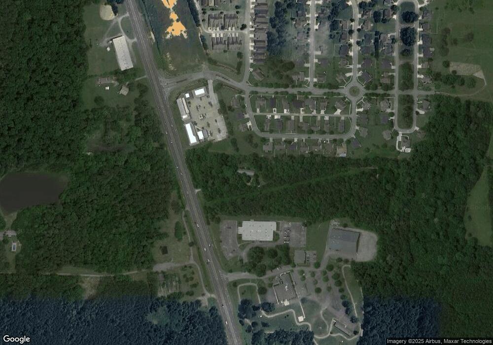
Map
Nearby Homes
- 103 Deer Ridge Ln
- 124 Fieldstone Commons
- 200 Hunting Ridge Cir
- 28 Cobblestone Trail
- 918 Old Lafayette Rd
- 149 Stone Throw Ln
- 135 Stone Throw Ln
- 74 Sycamore Dr
- 269 Quartz Dr
- 283 Quartz Dr
- 44 Bending Oak Dr
- 190 Sycamore Dr
- 162 Bending Oak Dr
- 54 Cedar Farm Ln
- 1121 Arnold Rd
- 680 Glass Mill Rd
- 788 Long Hollow Rd
- 1476 Arnold Rd
- 183 Long Hollow Rd
- 294 E Long Hollow Rd
- 70 Pleasant Ridge Cir
- 10180 N Highway N 27 Hwy N
- 32 Pleasant Ridge Cir
- 100 Pleasant Ridge Cir
- 10 Deer Ridge Ln Unit 88
- 25 Deer Ridge Ln
- 16 Pleasant Ridge Cir
- 114 Pleasant Ridge Cir
- 40 Deer Ridge Ln
- 9 Deer Ridge Ln
- 23 Deer Ridge Ln
- 56 Pleasant Ridge Cir
- 130 Pleasant Ridge Cir
- 10 Pleasant Ridge Cir
- 0 Pleasant Ridge Cir Unit 1150766
- 0 Pleasant Ridge Cir Unit 1226091
- 37 Deer Ridge Ln
- 10161 N Highway 27
- 53 Deer Ridge Ln
- 144 Pleasant Ridge Cir