10180 Reed Mine Rd Midland, NC 28107
Estimated Value: $394,699
3
Beds
2
Baths
1,120
Sq Ft
$352/Sq Ft
Est. Value
About This Home
This home is located at 10180 Reed Mine Rd, Midland, NC 28107 and is currently priced at $394,699, approximately $352 per square foot. 10180 Reed Mine Rd is a home located in Cabarrus County with nearby schools including Bethel Elementary School, C.C. Griffin Middle School, and Central Cabarrus High School.
Ownership History
Date
Name
Owned For
Owner Type
Purchase Details
Closed on
Mar 7, 2013
Sold by
Deese Jimmy Edward and Deese Maureen Katherine
Bought by
Deese Jimmy Robert and Deese Debora
Current Estimated Value
Purchase Details
Closed on
Jan 7, 2008
Sold by
Motley Janie Little
Bought by
Deese Jimmy E
Purchase Details
Closed on
Nov 26, 2002
Sold by
Motley Janie L
Bought by
Stone Larry Dean and Stone Stacey
Purchase Details
Closed on
Nov 15, 2001
Sold by
Motley Janie Little
Bought by
Motley Janie Little
Purchase Details
Closed on
Jan 10, 2000
Sold by
Motley Janie Little
Bought by
Deese Jimmy E and Deese Maureen K
Create a Home Valuation Report for This Property
The Home Valuation Report is an in-depth analysis detailing your home's value as well as a comparison with similar homes in the area
Home Values in the Area
Average Home Value in this Area
Purchase History
| Date | Buyer | Sale Price | Title Company |
|---|---|---|---|
| Deese Jimmy Robert | -- | None Available | |
| Deese Jimmy E | -- | None Available | |
| Stone Larry Dean | $6,000 | -- | |
| Motley Janie Little | -- | -- | |
| Deese Jimmy E | -- | -- |
Source: Public Records
Tax History Compared to Growth
Tax History
| Year | Tax Paid | Tax Assessment Tax Assessment Total Assessment is a certain percentage of the fair market value that is determined by local assessors to be the total taxable value of land and additions on the property. | Land | Improvement |
|---|---|---|---|---|
| 2022 | $1,493 | $180,010 | $0 | $0 |
| 2021 | $1,498 | $180,010 | $0 | $0 |
| 2020 | $1,498 | $180,010 | $0 | $0 |
| 2019 | $995 | $119,610 | $47,540 | $72,070 |
| 2018 | $947 | $119,610 | $47,540 | $72,070 |
| 2017 | $947 | $119,610 | $47,540 | $72,070 |
| 2016 | -- | $111,750 | $43,180 | $68,570 |
| 2015 | -- | $111,750 | $43,180 | $68,570 |
| 2014 | -- | $111,750 | $43,180 | $68,570 |
Source: Public Records
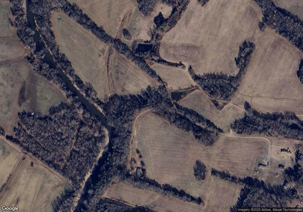
Map
Nearby Homes
- 10130 Reed Mine Rd
- 10791 Hartsell Rd
- 6827 England Rd
- 11732 Glenwood Dr
- 10620 U S 601
- 11788 Glenwood Dr Unit 56
- 4207 Amanda Dr
- 11060 Teresia Ln
- 6168 Busch Way
- The Benson II Plan at Pine Bluff
- The McGinnis Plan at Pine Bluff
- The James Plan at Pine Bluff
- The Langford Plan at Pine Bluff
- The Lancaster Plan at Pine Bluff
- The Harrington Plan at Pine Bluff
- The Phoenix Plan at Pine Bluff
- The Avery Plan at Pine Bluff
- The Coleman Plan at Pine Bluff
- 6308 Honor Ave
- 6336 Busch Way
- 10175 Reed Mine Rd
- 10120 Reed Mine Rd
- 10225 Hartsell Rd
- Lot 2 Reed Mine Rd
- Lot 2 Reed Mine Rd Unit Lot 2
- Lot 4 Reed Mine Rd
- Lot 4 Reed Mine Rd Unit LOt 4
- 10201 Reed Mine Rd
- 10201 Reed Mine Rd Unit 5
- 0 Hartsell Rd
- 00 Hartsell Rd
- 10111 Reed Mine Rd
- Lot 5 Reed Mine Rd
- Lot 5 Reed Mine Rd Unit Lot 5
- 10275 Hartsell Rd
- 10256 Hartsell Rd
- 10276 Hartsell Rd
- 10348 Hartsell Rd
- 10361 Reed Mine Rd
- 10420 Reed Mine Rd