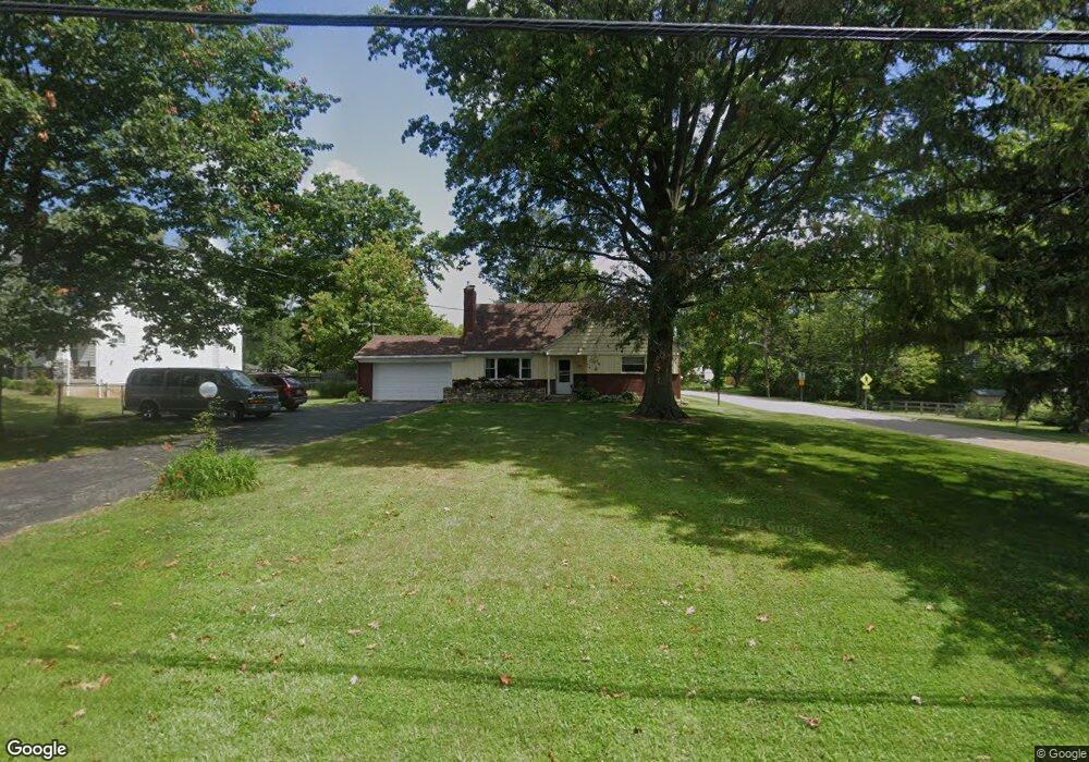
10184 Zig Zag Rd Blue Ash, OH 45242
Estimated Value: $386,000 - $481,000
2
Beds
1
Bath
1,424
Sq Ft
$299/Sq Ft
Est. Value
About This Home
This home is located at 10184 Zig Zag Rd, Blue Ash, OH 45242 and is currently estimated at $425,632, approximately $298 per square foot. 10184 Zig Zag Rd is a home located in Hamilton County with nearby schools including Edwin H Greene Intermediate Middle School, Sycamore Junior High School, and Sycamore High School.
Ownership History
Date
Name
Owned For
Owner Type
Purchase Details
Closed on
Apr 25, 2018
Sold by
Fritschi Katherine A and Honican Lori L
Bought by
Fritschi Katherine A and Honican Lori L
Current Estimated Value
Purchase Details
Closed on
Feb 5, 1997
Sold by
Fritschi Katherine A
Bought by
Fritschi Katherine A and Honican Lori L
Create a Home Valuation Report for This Property
The Home Valuation Report is an in-depth analysis detailing your home's value as well as a comparison with similar homes in the area
Home Values in the Area
Average Home Value in this Area
Purchase History
| Date | Buyer | Sale Price | Title Company |
|---|---|---|---|
| Fritschi Katherine A | -- | Terry Monnie Title | |
| Fritschi Katherine A | $60,000 | -- |
Source: Public Records
Tax History
| Year | Tax Paid | Tax Assessment Tax Assessment Total Assessment is a certain percentage of the fair market value that is determined by local assessors to be the total taxable value of land and additions on the property. | Land | Improvement |
|---|---|---|---|---|
| 2025 | $3,566 | $92,404 | $30,100 | $62,304 |
| 2023 | $3,533 | $92,404 | $30,100 | $62,304 |
| 2022 | $4,501 | $88,067 | $28,644 | $59,423 |
| 2021 | $4,405 | $88,067 | $28,644 | $59,423 |
| 2020 | $4,439 | $88,067 | $28,644 | $59,423 |
| 2019 | $3,883 | $71,022 | $23,100 | $47,922 |
| 2018 | $3,717 | $71,022 | $23,100 | $47,922 |
| 2017 | $3,487 | $71,022 | $23,100 | $47,922 |
| 2016 | $3,108 | $61,135 | $21,630 | $39,505 |
| 2015 | $2,340 | $61,135 | $21,630 | $39,505 |
| 2014 | $2,349 | $61,135 | $21,630 | $39,505 |
| 2013 | $2,334 | $59,353 | $21,000 | $38,353 |
Source: Public Records
Map
Nearby Homes
- 10105 Kenwood Rd
- 5700 Samstone Ct
- 10432 Hickory Point Dr
- 5300 Kenridge Dr
- 10019 Zig Zag Rd
- 10489 Cinderella Dr
- 4982 Bell Ave
- 4270 Parkview Dr
- 4204 Magnolia Aly
- 4236 Parkview Dr
- 4234 Parkview Dr
- 4232 Parkview Dr
- 4230 Parkview Dr
- 4612 Miller Rd
- 9689 Cooper Ln
- 5056 Arabella Cir
- 5060 Arabella Cir
- 5078 Arabella Cir
- 5074 Arabella Cir
- 5070 Arabella Cir
- 10188 Zig Zag Rd
- 10178 Zig Zag Rd
- 4991 Twinbrook Ct
- 4990 Twinbrook Ct
- 10172 Zig Zag Rd
- 10210 Kenwood Rd
- 4983 Twinbrook Ct
- 5009 Twinbrook Ct
- 10220 Kenwood Rd
- 10187 Zig Zag Rd
- 10177 Zig Zag Rd
- 10193 Zig Zag Rd
- 10234 Kenwood Rd
- 10168 Zig Zag Rd
- 10171 Zig Zag Rd
- 4975 Twinbrook Ct
- 10167 Crosier Ln
- 10244 Kenwood Rd
- 4976 Twinbrook Ct
- 8755 Kenwood Rd